Download
Preview
Add to list
More
Trail length
4.4 km
Time
~2 hrs 15 min
Elevation Gain
829 m
Hike Type
Out and Back
“Embark on the Provo Peak Trail for breathtaking views and a challenging yet rewarding hike.”
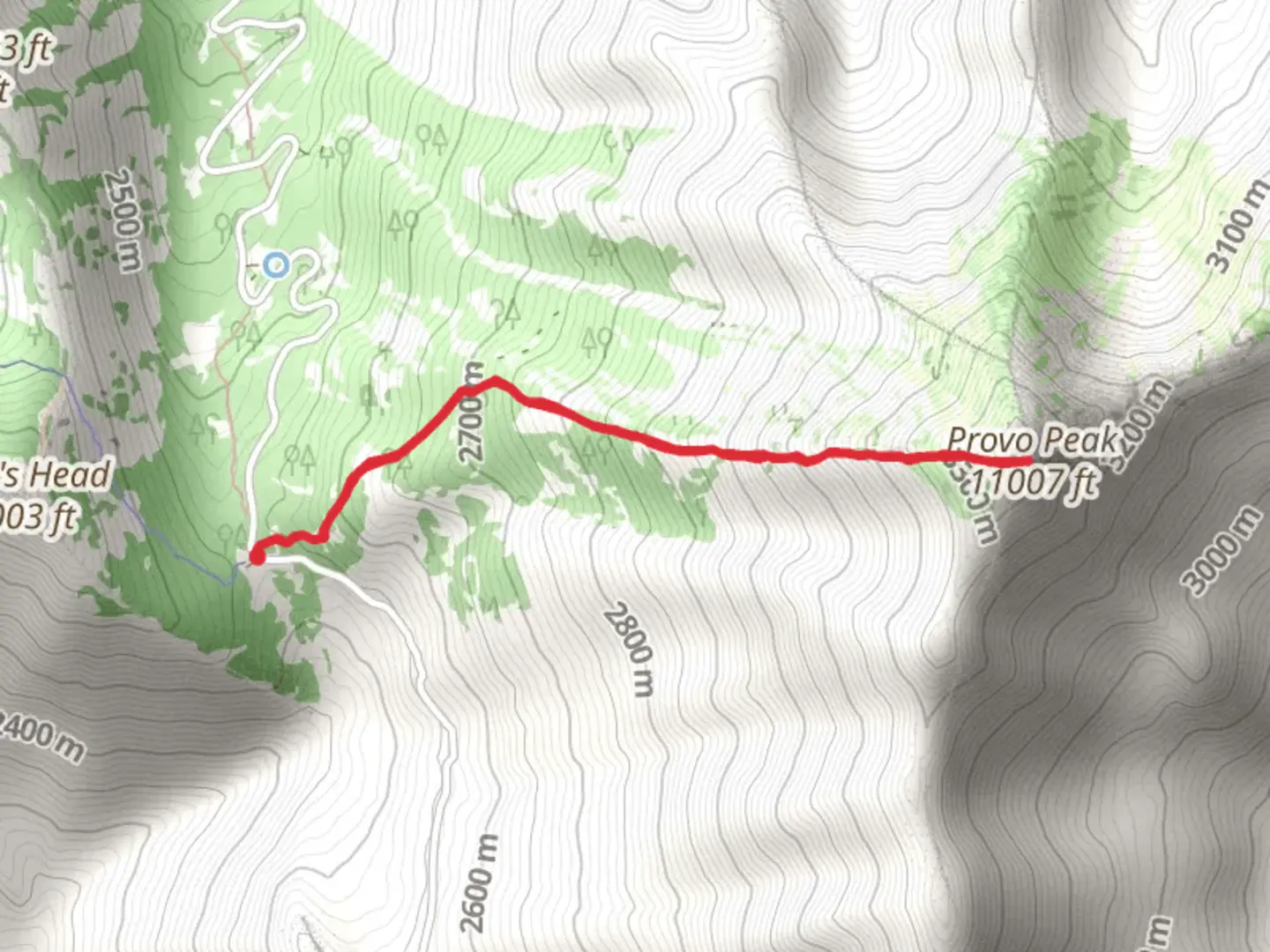
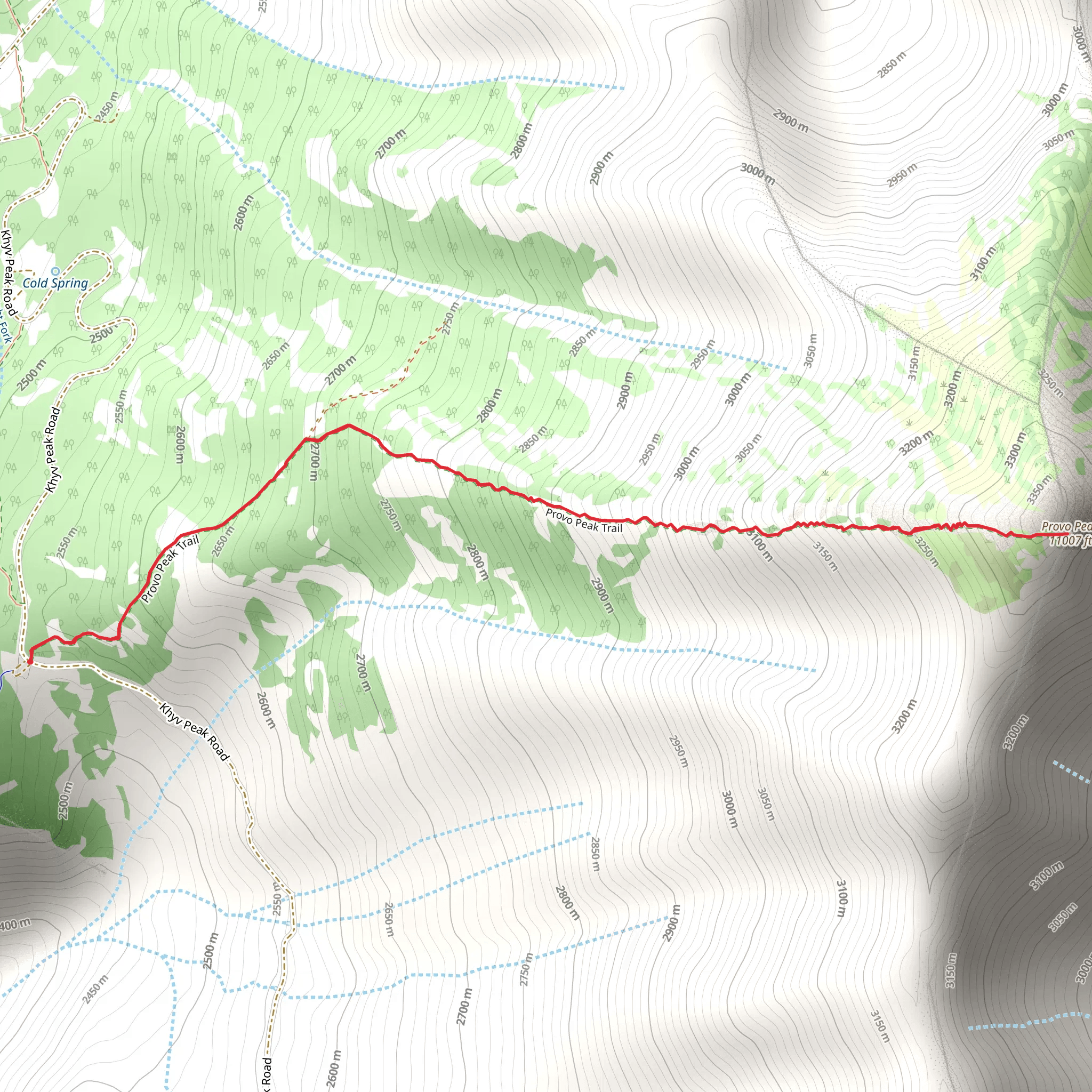
Starting near Utah County, Utah, the Provo Peak Trail is an invigorating out-and-back hike that spans approximately 4 km (2.5 miles) with an elevation gain of around 800 meters (2,625 feet). This trail is rated as medium difficulty, making it suitable for hikers with some experience and a good level of fitness.
Getting There To reach the trailhead, you can drive or use public transport. If driving, head towards the Squaw Peak Road, which is accessible from Provo Canyon. The nearest significant landmark is the Rock Canyon Campground. For those relying on public transport, the nearest bus stop is at the base of Provo Canyon, from where you can arrange a taxi or rideshare to the trailhead.
Trail Overview The trail begins with a steady ascent through a dense forest of aspen and pine trees. Early on, you'll encounter a series of switchbacks that help to manage the steep incline. As you climb, the forest opens up, offering stunning views of the surrounding Wasatch Range.
Key Landmarks and Points of Interest - **0.5 km (0.3 miles) in:** You'll come across a small clearing with a panoramic view of Utah Valley. This is a great spot for a quick rest and some photos. - **1.5 km (0.9 miles) in:** The trail becomes rockier and more exposed. Here, you'll notice the flora changing from dense forest to alpine meadows. Keep an eye out for wildflowers in the spring and summer months. - **2 km (1.2 miles) in:** You will reach a saddle point that offers a breathtaking view of both Provo Peak and the surrounding peaks. This is a good place to take a longer break before the final push to the summit.
Wildlife and Nature The Provo Peak Trail is home to a variety of wildlife, including mule deer, mountain goats, and occasionally black bears. Bird watchers will enjoy spotting species like the American kestrel and the mountain bluebird. The trail also features diverse plant life, from towering pines to delicate alpine flowers.
Final Ascent The last stretch to the summit is the most challenging, with a steep and rocky path that requires careful footing. The elevation gain is most pronounced here, and you'll feel the altitude as you approach the peak.
Summit Experience Upon reaching the summit of Provo Peak, at an elevation of 3,353 meters (11,000 feet), you'll be rewarded with 360-degree views of the Wasatch Range, Utah Valley, and even the distant Great Salt Lake on a clear day. The summit is marked by a small cairn, and it's a perfect spot for a well-deserved rest and some memorable photos.
Historical Significance The Provo Peak area has a rich history, with the Ute Native American tribe originally inhabiting the region. The peak itself is named after the Provo River, which was a vital water source for early settlers and indigenous people alike. The surrounding Wasatch Range has been a significant area for mining, logging, and recreation for over a century.
Navigation For navigation, it's highly recommended to use HiiKER, which provides detailed maps and real-time updates to ensure you stay on track. The trail is well-marked, but having a reliable navigation tool can be invaluable, especially in poor weather conditions.
Return Journey The descent follows the same path back to the trailhead. While descending, take your time to enjoy the views and be cautious on the steeper sections to avoid slipping. The return trip offers a different perspective and is a great opportunity to spot any wildlife or landmarks you might have missed on the way up.
What to expect?
scenic-views
wildlife
Activity types
hiking
Comments and Reviews
User comments, reviews and discussions about the Provo Peak Trail, Utah.
4.57
average rating out of 5
21 rating(s)
