Download
Preview
Add to list
More
4.9 km
~1 hrs 32 min
336 m
Out and Back
“Embark on the Powerhouse Mountain Trail for a scenic, challenging hike rich in history and natural beauty.”
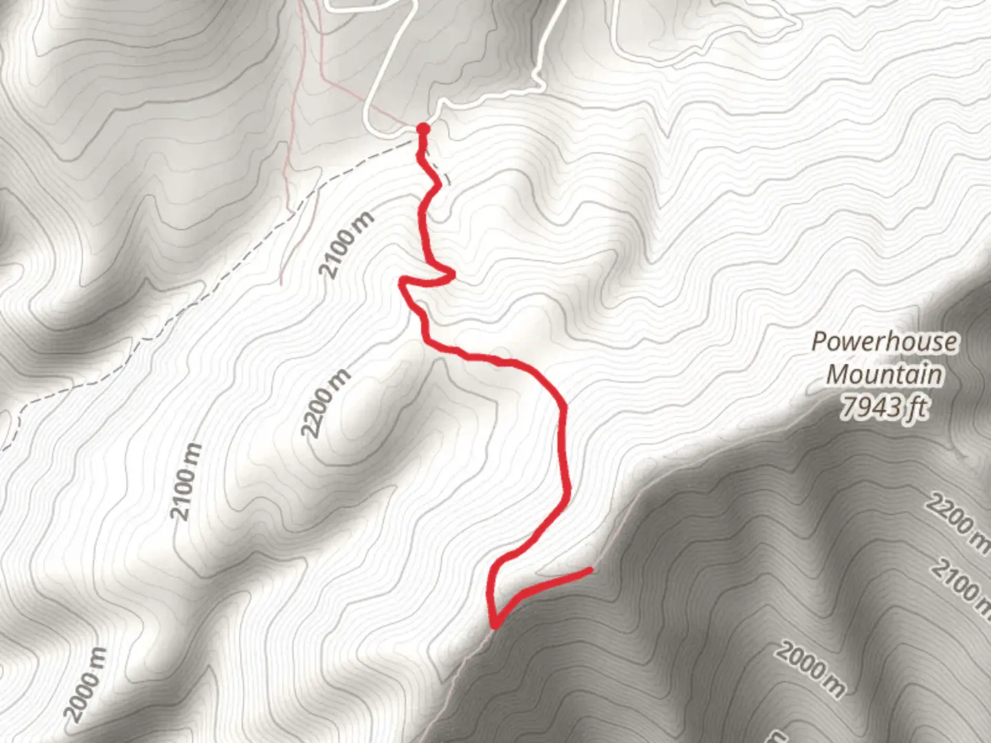
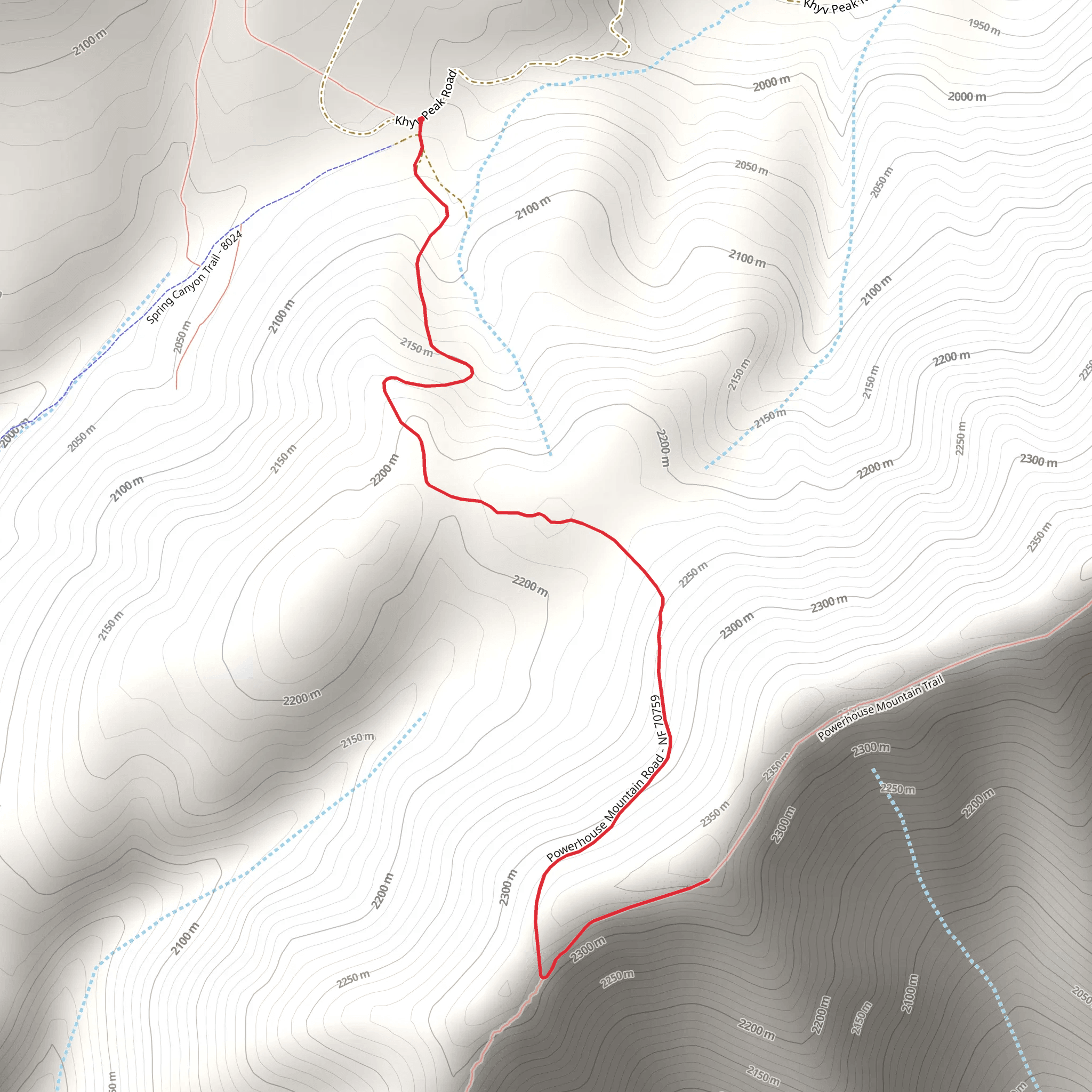
Starting your adventure near Utah County, Utah, the Powerhouse Mountain Trail offers a moderately challenging hike with a total distance of around 5 km (3.1 miles) and an elevation gain of approximately 300 meters (984 feet). This out-and-back trail is perfect for those looking to experience the natural beauty and historical significance of the region.
Getting There To reach the trailhead, you can drive or use public transportation. If driving, head towards the nearest known address, which is the Powerhouse Mountain Trailhead Parking Lot, located near the intersection of Powerhouse Road and Canyon Road. For those using public transport, the nearest bus stop is at the intersection of Canyon Road and 800 North, from where you can walk approximately 1.5 km (0.9 miles) to the trailhead.
Trail Overview The trail begins with a gentle ascent through a mixed forest of pine and aspen trees. As you progress, the path becomes steeper, offering a good workout for your legs. The first significant landmark you'll encounter is a small, picturesque waterfall about 1 km (0.6 miles) into the hike. This is a great spot to take a short break and enjoy the sound of cascading water.
Flora and Fauna As you continue, keep an eye out for the diverse flora and fauna. The area is home to mule deer, wild turkeys, and a variety of songbirds. In the spring and early summer, the trail is adorned with wildflowers such as lupines and Indian paintbrush, adding vibrant colors to your journey.
Historical Significance Approximately 2 km (1.2 miles) into the hike, you'll come across the remnants of an old powerhouse, which gives the trail its name. This structure dates back to the early 20th century and was part of the region's early efforts to harness hydroelectric power. Take a moment to explore the ruins and imagine the industrious spirit of the people who once worked here.
Reaching the Summit The final stretch to the summit is the most challenging, with a steep incline that will test your endurance. However, the effort is well worth it. Upon reaching the summit, you'll be rewarded with panoramic views of Utah County and the surrounding mountains. On a clear day, you can see for miles, making it an excellent spot for photography.
Navigation and Safety For navigation, it's highly recommended to use the HiiKER app, which provides detailed maps and real-time updates. The trail is well-marked, but having a reliable navigation tool can enhance your hiking experience and ensure you stay on track.
Return Journey The return journey follows the same path, allowing you to revisit the landmarks and enjoy the scenery from a different perspective. Make sure to pace yourself on the descent to avoid putting too much strain on your knees.
Final Tips - Wear sturdy hiking boots with good ankle support. - Bring plenty of water, especially during the hotter months. - Pack a light snack or lunch to enjoy at the summit. - Check the weather forecast before heading out, as conditions can change rapidly in the mountains.
Enjoy your hike on the Powerhouse Mountain Trail, and take the time to appreciate the natural beauty and historical richness of this remarkable area.
What to expect?
Activity types
Comments and Reviews
User comments, reviews and discussions about the Powerhouse Mountain Trail, Utah.
4.5
average rating out of 5
16 rating(s)
