Download
Preview
Add to list
More
4.0 km
~1 hrs 15 min
276 m
Out and Back
“Embark on the Mount Timpanogos Trail for a scenic hike through diverse landscapes and rich history.”
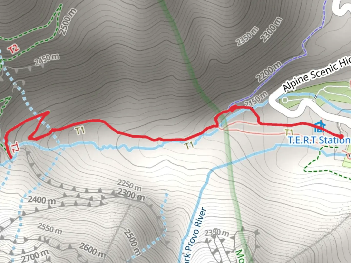
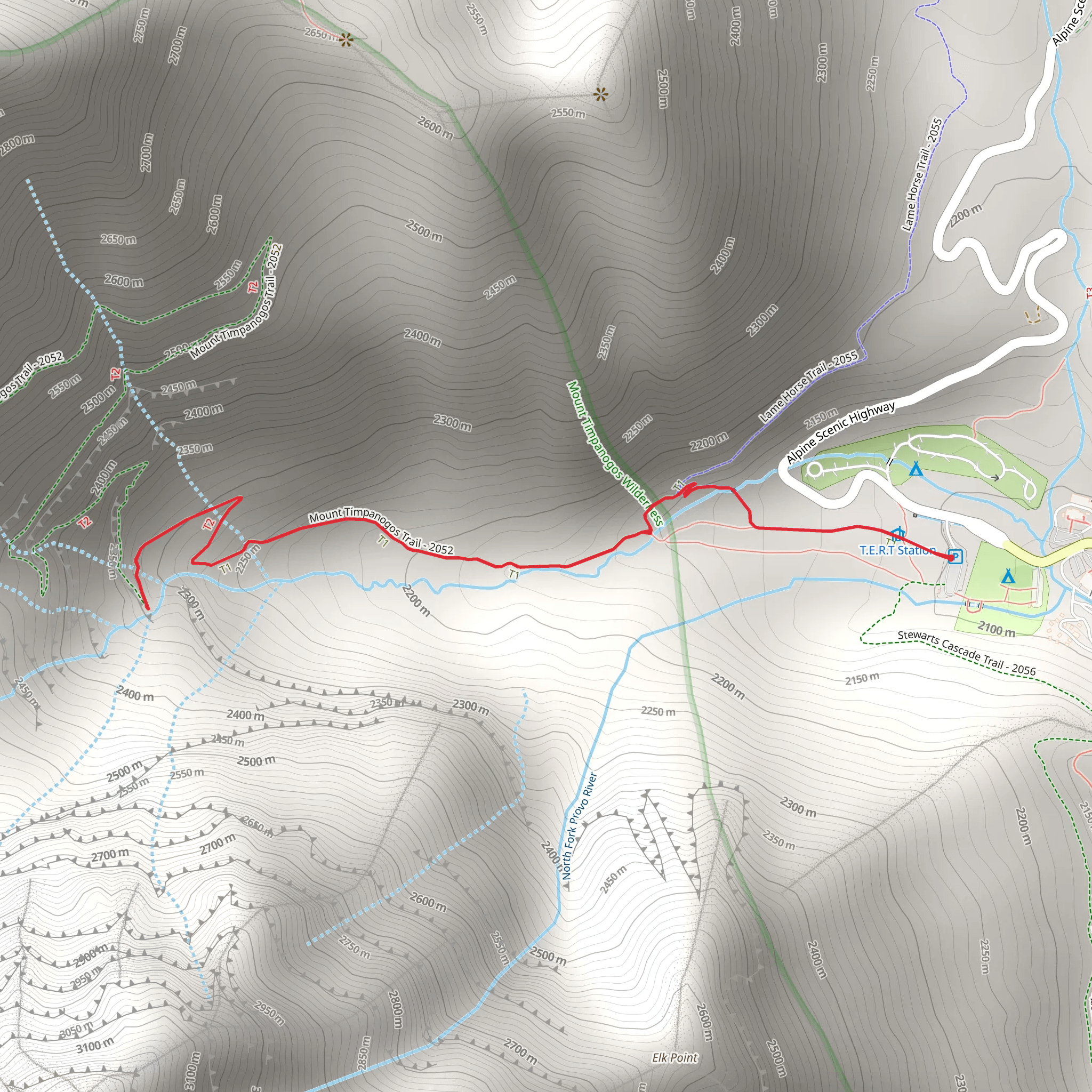
Starting your adventure near Utah County, Utah, the Mount Timpanogos Trail offers a captivating journey through diverse landscapes. The trailhead is conveniently accessible by car, with parking available at the Timpooneke Campground. For those relying on public transport, the nearest significant landmark is the city of Provo, from where you can arrange a taxi or rideshare service to the trailhead.
Trail Overview
The Mount Timpanogos Trail is an out-and-back route stretching approximately 4 kilometers (2.5 miles) with an elevation gain of around 200 meters (656 feet). Rated as medium difficulty, this trail is suitable for moderately experienced hikers looking for a rewarding day hike.
Key Landmarks and Points of Interest
#### Aspen Grove About 1 kilometer (0.6 miles) into the hike, you'll pass through a beautiful grove of aspen trees. This area is particularly stunning in the fall when the leaves turn vibrant shades of yellow and orange. Keep an eye out for deer and other wildlife that frequent this area.
#### Emerald Lake At roughly the halfway point, around 2 kilometers (1.2 miles) from the trailhead, you'll encounter Emerald Lake. This serene alpine lake is a perfect spot for a short rest and photo opportunity. The lake is fed by melting snow from the surrounding peaks, making its waters crystal clear and refreshingly cold.
Flora and Fauna
The trail is rich in biodiversity. You'll traverse through various ecosystems, from dense forests of pine and aspen to open meadows filled with wildflowers in the spring and summer. Wildlife sightings are common, including mule deer, mountain goats, and a variety of bird species. Always maintain a respectful distance from wildlife and follow Leave No Trace principles to preserve the natural beauty of the area.
Historical Significance
Mount Timpanogos holds cultural and historical significance for the local Native American tribes, particularly the Ute people. The name "Timpanogos" is derived from the Timpanogots tribe, meaning "rock canyon." The area has been a site of spiritual importance and a source of sustenance for centuries.
Navigation and Safety
Given the trail's moderate difficulty, it's advisable to use a reliable navigation tool like HiiKER to ensure you stay on course. The trail is well-marked, but weather conditions can change rapidly, especially at higher elevations. Always check the weather forecast before heading out and be prepared with appropriate gear, including layers, a hat, sunscreen, and plenty of water.
Getting There
If you're driving, take the Alpine Loop Scenic Byway (SR-92) to reach the Timpooneke Campground, where the trailhead is located. The drive itself is a scenic experience, offering stunning views of the Wasatch Range. For those using public transport, the nearest major city is Provo. From Provo, you can arrange a taxi or rideshare service to the trailhead, which is approximately a 45-minute drive.
Embark on this trail to experience the natural beauty and historical richness of Mount Timpanogos. Whether you're drawn by the stunning landscapes, the diverse wildlife, or the cultural history, this hike offers a memorable adventure for all who tread its path.
What to expect?
Activity types
Comments and Reviews
User comments, reviews and discussions about the Mount Timpanogos Trail, Utah.
4.48
average rating out of 5
29 rating(s)
