Download
Preview
Add to list
More
21.3 km
~1 day 1 hrs
1079 m
Point-to-Point
“The Monk's Hollow Trail offers 21 km of scenic beauty, historical artifacts, and moderate hiking challenges.”
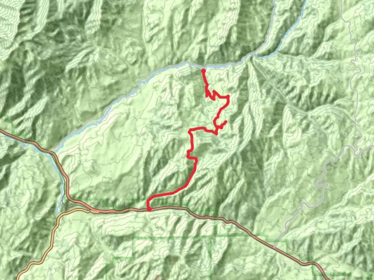
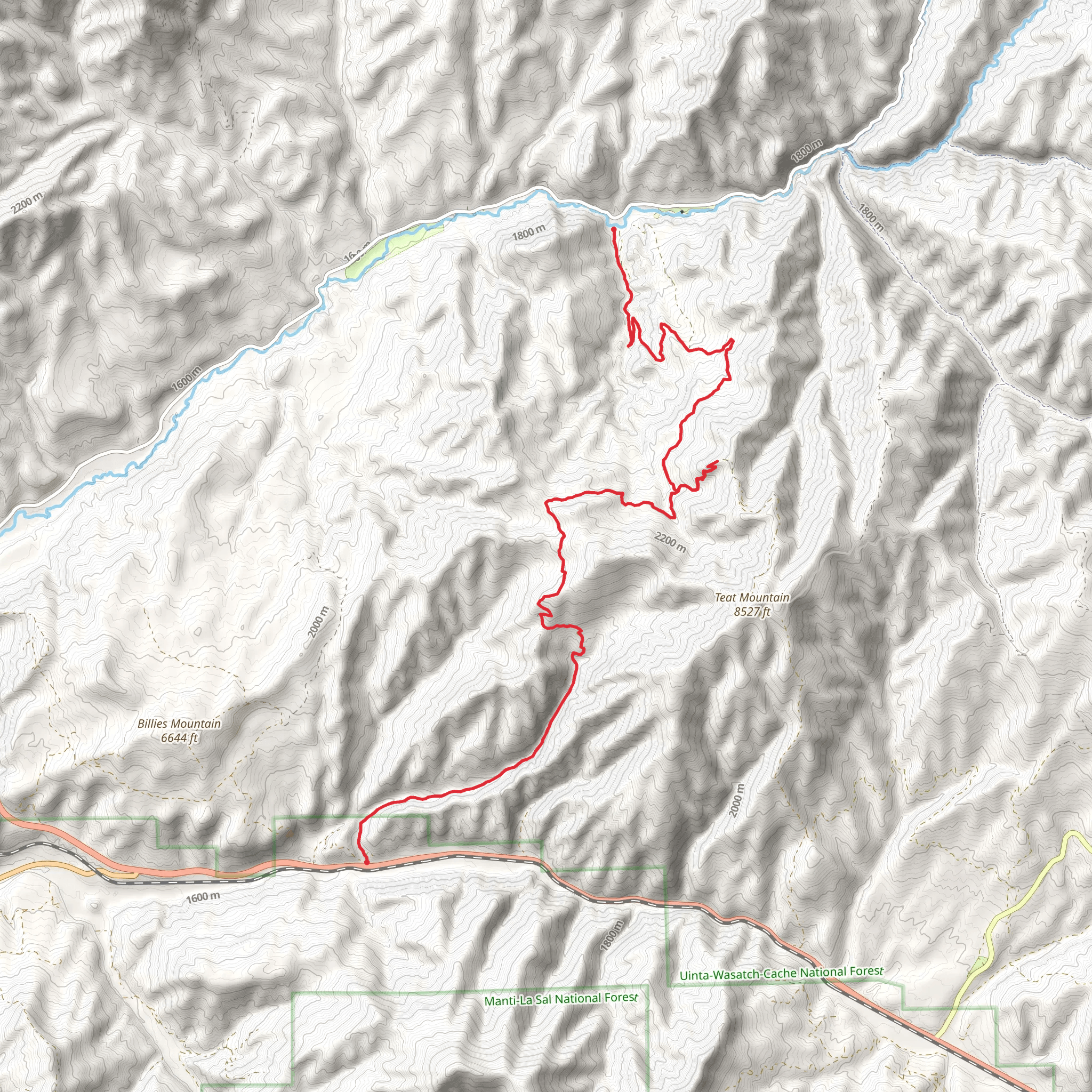
Starting near Utah County, Utah, the Monk's Hollow Trail and Long Hollow Road is a point-to-point trail that spans approximately 21 kilometers (13 miles) with an elevation gain of around 1000 meters (3280 feet). This trail is rated as medium difficulty, making it suitable for moderately experienced hikers.
Getting There To reach the trailhead, you can drive or use public transportation. If driving, head towards the nearest significant landmark, which is the town of Spanish Fork. From Spanish Fork, take US-6 E and continue for about 20 miles until you reach the trailhead near Diamond Fork Road. For those using public transport, you can take a bus to Spanish Fork and then arrange for a local taxi or rideshare service to drop you off at the trailhead.
Trail Overview The trail begins with a gradual ascent through a dense forest of pines and aspens. The first 5 kilometers (3.1 miles) offer a steady climb, gaining about 300 meters (984 feet) in elevation. This section is relatively shaded, providing a cool and refreshing start to your hike. Keep an eye out for mule deer and wild turkeys, which are commonly seen in this area.
Mid-Trail Highlights Around the 8-kilometer (5-mile) mark, you'll reach a scenic overlook that offers panoramic views of the surrounding valleys and mountains. This is a great spot to take a break and enjoy the natural beauty. The trail then descends slightly into a meadow filled with wildflowers during the spring and summer months. This section is relatively flat and provides a nice respite before the next climb.
Historical Significance As you continue, you'll come across remnants of old mining operations from the late 19th century. These historical artifacts offer a glimpse into the region's past and are a fascinating addition to the natural scenery. Be sure to stay on the trail to preserve these historical sites.
Final Stretch The last 5 kilometers (3.1 miles) of the trail involve a more strenuous climb, gaining another 400 meters (1312 feet) in elevation. This section is more exposed, so make sure to bring plenty of water and sun protection. The trail winds through rocky terrain and offers stunning views of the Wasatch Range.
Navigation and Safety Given the trail's length and elevation gain, it's crucial to be well-prepared. Use the HiiKER app for accurate navigation and real-time updates on trail conditions. The trail is well-marked, but having a reliable navigation tool will ensure you stay on course.
Wildlife and Flora Throughout the hike, you'll encounter a variety of flora and fauna. The lower elevations are dominated by pines and aspens, while the higher elevations feature alpine meadows and rocky outcrops. Wildlife is abundant, with frequent sightings of mule deer, wild turkeys, and occasionally, black bears. Always practice Leave No Trace principles to preserve the natural environment.
This trail offers a mix of natural beauty, historical significance, and moderate physical challenge, making it a rewarding experience for those who undertake it.
What to expect?
Activity types
Comments and Reviews
User comments, reviews and discussions about the Monk's Hollow Trail and Long Hollow Road, Utah.
4.67
average rating out of 5
12 rating(s)
