Download
Preview
Add to list
More
3.2 km
~1 hrs 24 min
464 m
Out and Back
“Embark on a scenic, moderately challenging hike through lush forests to the panoramic summit of Little Rock Peak.”
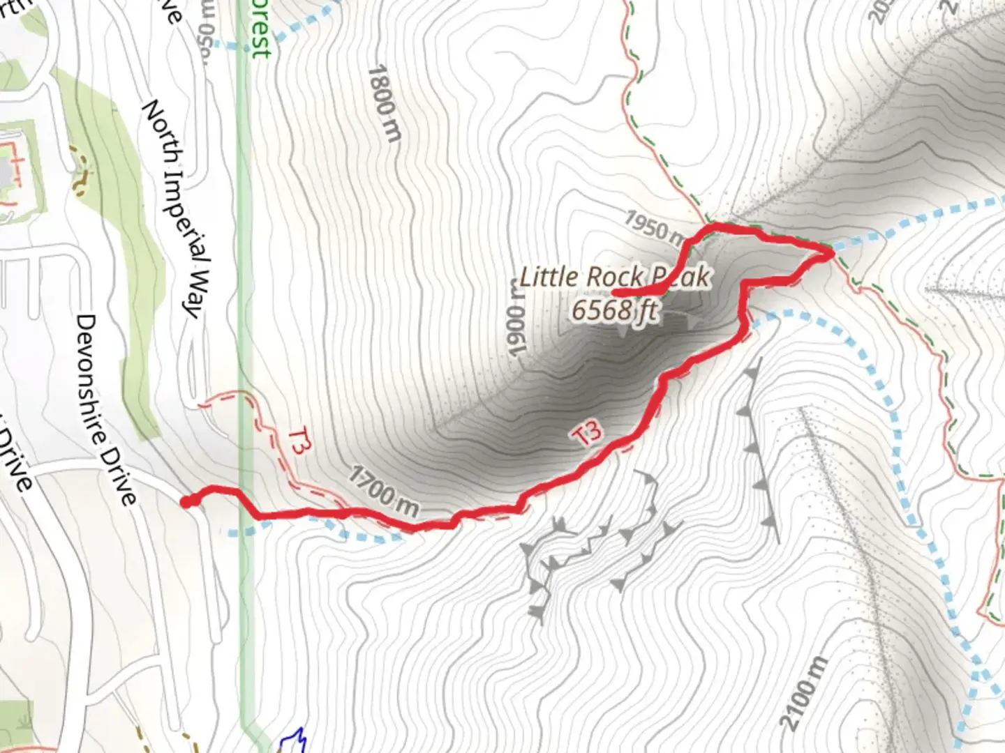
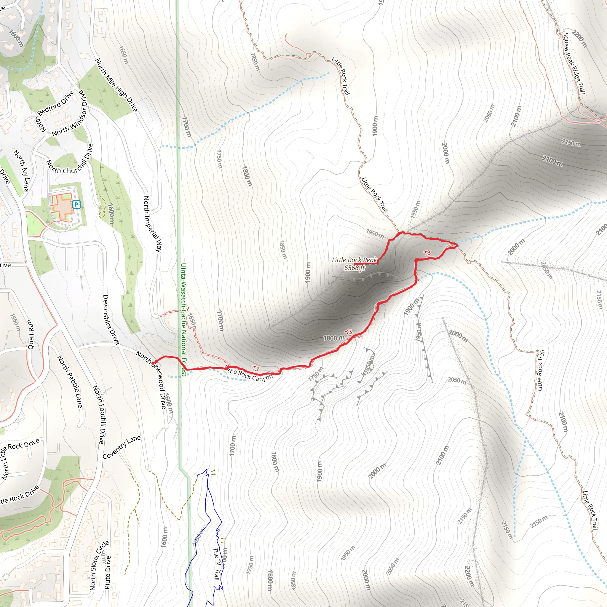
Starting your adventure near Utah County, Utah, the trailhead for the Little Rock Peak via Little Rock Canyon is easily accessible by car. If you're using public transport, the nearest significant landmark is the city of Provo, from where you can take a local bus or taxi to the trailhead area. Parking is available near the trailhead, but it's advisable to arrive early, especially on weekends, to secure a spot.
Trail Overview
The trail spans approximately 3 kilometers (1.86 miles) with an elevation gain of around 400 meters (1,312 feet). This out-and-back trail is rated as medium difficulty, making it suitable for moderately experienced hikers. The path is well-marked but can be steep in sections, so sturdy hiking boots and trekking poles are recommended.
Key Landmarks and Points of Interest
As you begin your hike, you'll immediately notice the lush vegetation that characterizes Little Rock Canyon. The trail meanders through a mix of deciduous and coniferous trees, providing ample shade and a cool environment, especially during the summer months. About 1 kilometer (0.62 miles) into the hike, you'll encounter a small, picturesque stream that runs parallel to the trail. This is a great spot to take a short break and enjoy the serene surroundings.
Flora and Fauna
The area is rich in biodiversity. Keep an eye out for various bird species, including hawks and songbirds. Deer are commonly spotted along the trail, and if you're lucky, you might even see a fox or two. The flora is equally impressive, with wildflowers blooming in the spring and early summer, adding a splash of color to the landscape.
Elevation Gain and Terrain
The trail's elevation gain of 400 meters (1,312 feet) is gradual but consistent. The first half of the trail is relatively gentle, but the incline becomes more pronounced as you approach the peak. The terrain is a mix of packed dirt and rocky sections, so be prepared for some uneven footing. The final push to the summit is the steepest part, but the panoramic views from Little Rock Peak make the effort worthwhile.
Historical Significance
The region around Little Rock Canyon has a rich history. Native American tribes, including the Ute and Shoshone, once inhabited this area. Artifacts and petroglyphs have been found in nearby canyons, offering a glimpse into the lives of the early inhabitants. The trail itself has been used for centuries, first by indigenous people and later by settlers and explorers.
Navigation and Safety
For navigation, it's highly recommended to use the HiiKER app, which provides detailed maps and real-time updates. Cell service can be spotty in the canyon, so downloading the trail map in advance is a good idea. Always carry enough water, especially during the hotter months, and be aware of the weather forecast. Afternoon thunderstorms are common in the summer, so starting your hike early in the day is advisable.
Final Stretch
As you near the peak, the trail opens up, offering stunning views of the surrounding valleys and distant mountain ranges. The summit of Little Rock Peak provides a 360-degree panorama that is particularly breathtaking at sunrise or sunset. Take some time to soak in the views and perhaps enjoy a snack before beginning your descent.
This trail offers a rewarding hike with a mix of natural beauty, historical significance, and moderate physical challenge. Whether you're a local or visiting Utah County, the Little Rock Peak via Little Rock Canyon trail is a must-experience adventure.
What to expect?
Activity types
Comments and Reviews
User comments, reviews and discussions about the Little Rock Peak via Little Rock Canyon, Utah.
4.39
average rating out of 5
18 rating(s)
