Download
Preview
Add to list
More
4.7 km
~1 hrs 51 min
543 m
Loop
“Experience Utah's stunning wilderness on the 5 km Little Rock Peak Trail, rich in natural beauty and history.”
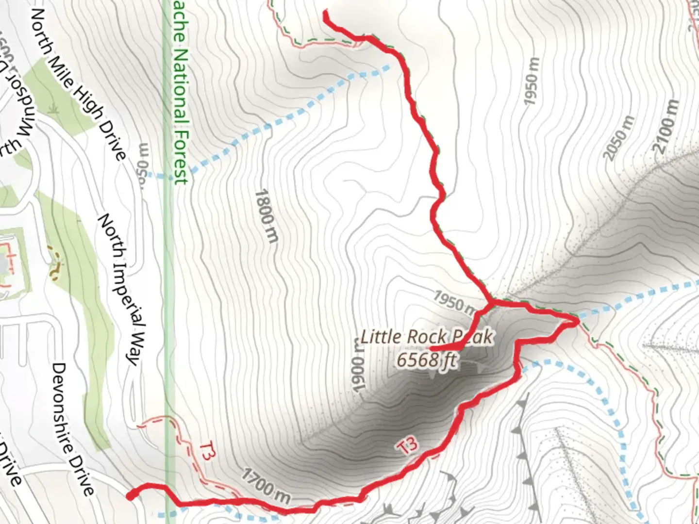
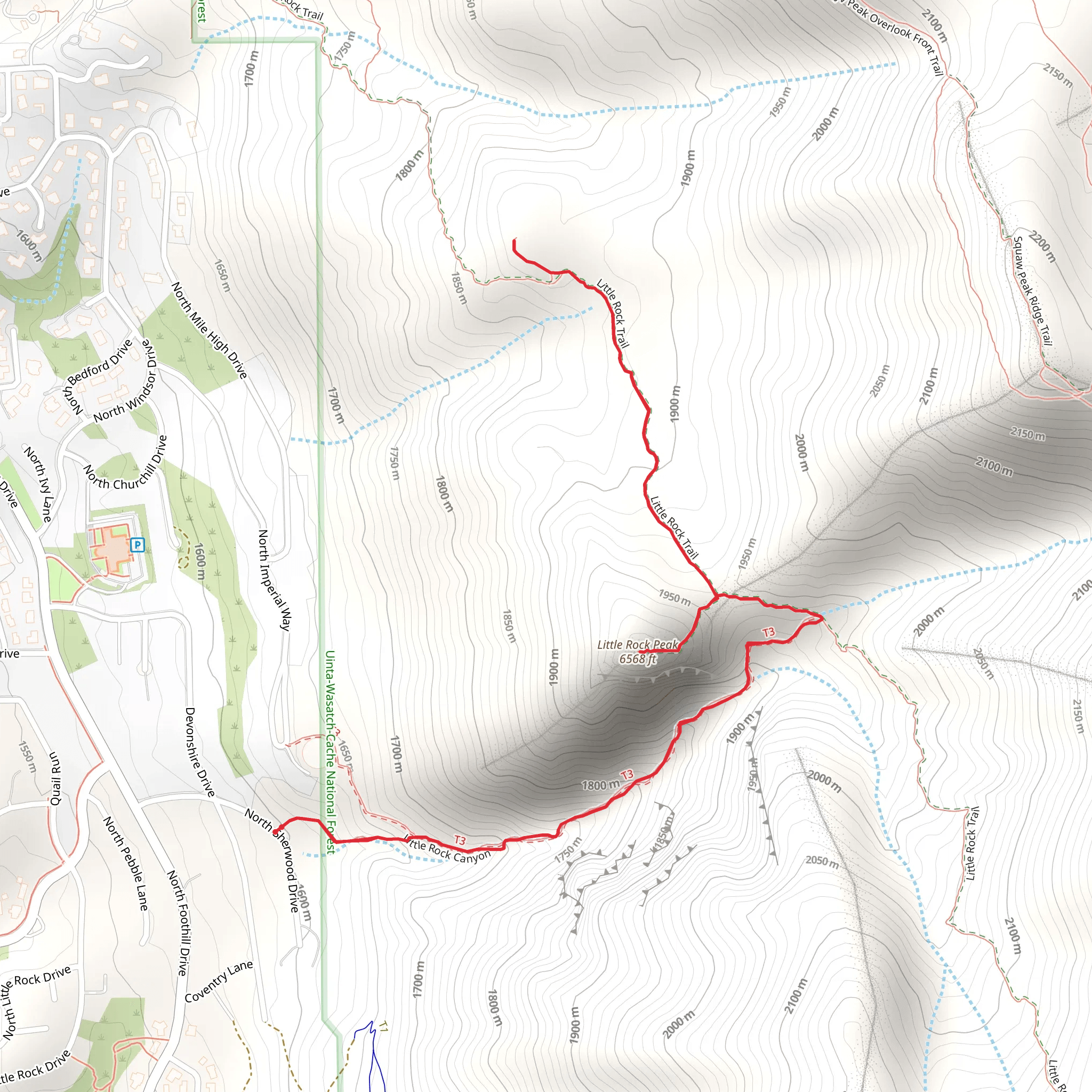
Starting your adventure near Utah County, Utah, the Little Rock Peak Trail offers a rewarding loop hike of approximately 5 km (3.1 miles) with an elevation gain of around 500 meters (1,640 feet). This medium-difficulty trail is perfect for those looking to experience the beauty of the Utah wilderness without committing to a full-day trek.
Getting There
To reach the trailhead, you can drive or use public transportation. If driving, head towards the nearest known address, which is the intersection of Provo Canyon Road and Squaw Peak Road. From there, follow Squaw Peak Road until you reach the designated parking area. For those using public transport, you can take a bus to the Provo Canyon area and then arrange for a taxi or rideshare to the trailhead.
Trail Overview
The trail begins with a gentle ascent through a mixed forest of pine and aspen trees. Early on, you'll notice the well-maintained path, which makes navigation straightforward. However, it's always a good idea to have the HiiKER app handy for real-time navigation and updates.
Significant Landmarks and Nature
At approximately 1 km (0.6 miles) into the hike, you'll encounter a small, picturesque meadow. This is a great spot to take a short break and enjoy the surrounding wildflowers, especially in the spring and early summer. As you continue, the trail becomes steeper, and you'll start to gain elevation more rapidly.
Around the 2 km (1.2 miles) mark, you'll reach a rocky outcrop that offers stunning views of the surrounding valleys and peaks. This is one of the most photogenic spots on the trail, so make sure to have your camera ready.
Wildlife and Flora
The Little Rock Peak Trail is home to a variety of wildlife, including deer, foxes, and a diverse array of bird species. Keep an eye out for the vibrant Western Tanager and the elusive Mountain Bluebird. The flora is equally impressive, with towering pines, quaking aspens, and a variety of wildflowers that change with the seasons.
Historical Significance
The region around Little Rock Peak has a rich history. The trail itself was used by early settlers and Native American tribes as a route through the mountains. You might come across old trail markers and remnants of early 20th-century logging activities. These historical elements add an extra layer of intrigue to your hike.
Final Ascent and Descent
As you approach the 3.5 km (2.2 miles) point, the trail levels out briefly before the final ascent to Little Rock Peak. The last stretch is the most challenging, with a series of switchbacks that lead you to the summit. Once at the top, you'll be rewarded with panoramic views that stretch for miles, encompassing the Utah Valley and the distant Wasatch Range.
The descent follows a different path, completing the loop. This section is less steep but requires careful footing, especially if the trail is wet. You'll pass through another forested area before rejoining the initial path near the trailhead.
Preparation Tips
Given the elevation gain and the medium difficulty rating, it's essential to bring plenty of water, snacks, and appropriate hiking gear. Weather can change rapidly in the mountains, so layers are recommended. Always check the weather forecast before heading out and let someone know your plans.
Using the HiiKER app will ensure you stay on track and can access real-time information about the trail conditions. Enjoy your hike on the Little Rock Peak Trail, and take in all the natural beauty and historical richness it has to offer.
What to expect?
Activity types
Comments and Reviews
User comments, reviews and discussions about the Little Rock Peak Trail, Utah.
4.5
average rating out of 5
20 rating(s)
