Download
Preview
Add to list
More
11.3 km
~3 hrs 16 min
607 m
Loop
“Embark on the Lement and Dry Canyon Trail loop for a 6.8-mile hike through scenic Utah history.”
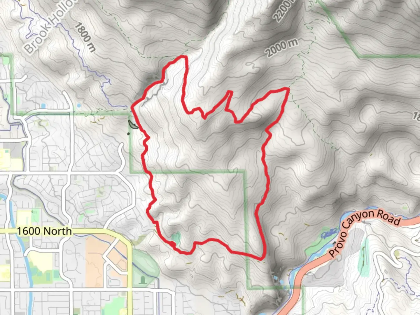
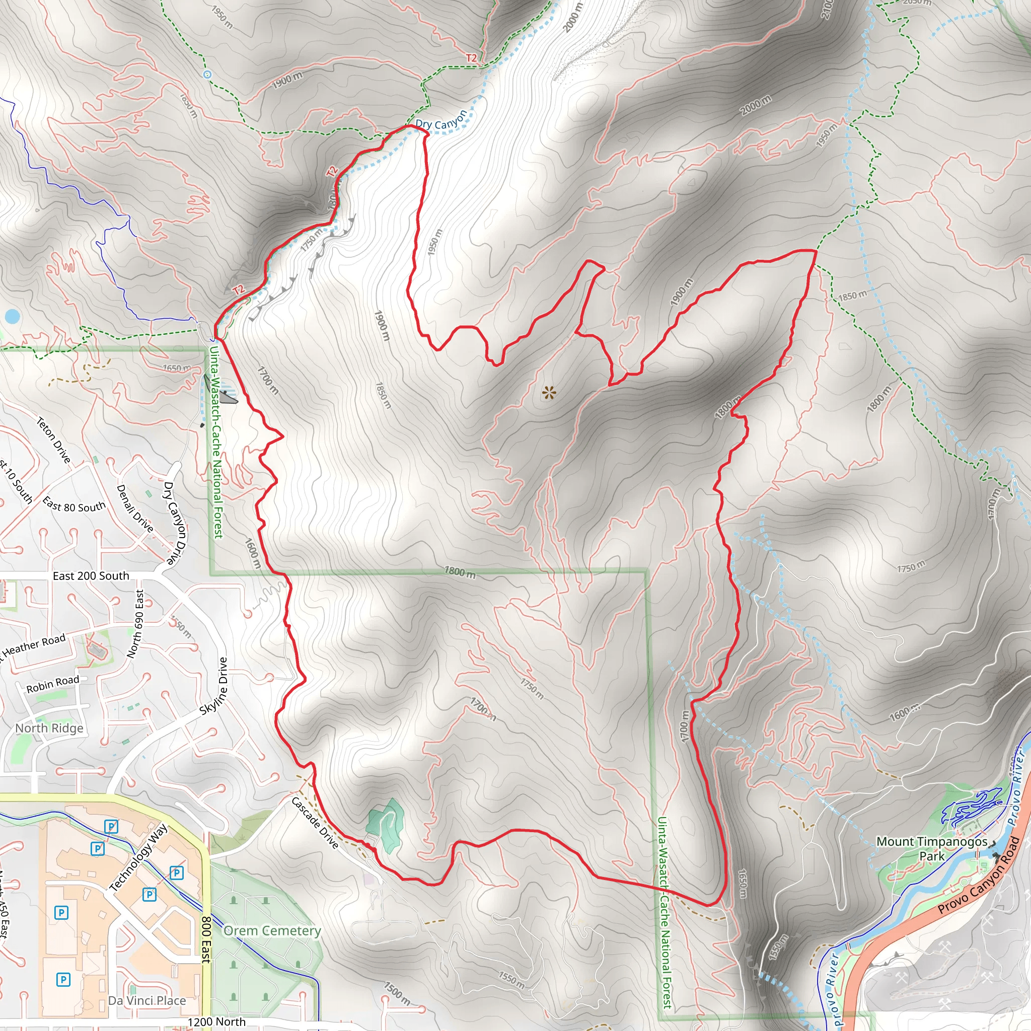
Starting your adventure near Utah County, Utah, the Lement Trail and Dry Canyon Trail loop spans approximately 11 km (around 6.8 miles) with an elevation gain of about 600 meters (approximately 1,970 feet). This medium-difficulty trail offers a diverse hiking experience, blending natural beauty with historical significance.
Getting There To reach the trailhead, you can drive or use public transport. If driving, head towards the Dry Canyon Trailhead near Lindon, Utah. For those using public transport, the nearest major landmark is the Lindon Park and Ride, from where you can take a short taxi or rideshare service to the trailhead.
Trail Overview The loop begins with a gradual ascent through Dry Canyon, where you'll encounter a mix of scrub oak and juniper trees. The initial 2 km (1.2 miles) offer a gentle climb, gaining about 150 meters (492 feet) in elevation. This section is relatively shaded, making it a pleasant start to your hike.
Significant Landmarks and Nature As you continue, the trail opens up to expansive views of the surrounding mountains and valleys. Around the 3 km (1.9 miles) mark, you'll reach a prominent rock formation known locally as "The Pinnacle." This is a great spot for a short break and some photos.
The next section of the trail takes you through a series of switchbacks, climbing another 200 meters (656 feet) over the next 2 km (1.2 miles). This part of the trail is more exposed, so be prepared with sun protection and plenty of water. The flora transitions to more alpine species, including wildflowers in the spring and summer months.
Wildlife and Ecology Keep an eye out for local wildlife, including mule deer, wild turkeys, and various bird species. The area is also known for its diverse insect population, including butterflies and bees, which are particularly active in the warmer months.
Historical Significance The region has a rich history, with evidence of Native American habitation dating back thousands of years. The trail itself was used by early settlers and pioneers as a route through the Wasatch Range. Informational plaques along the trail provide insights into the historical significance of the area, including details about the indigenous peoples and early settlers.
Navigation and Safety The trail is well-marked, but it's always a good idea to have a reliable navigation tool. HiiKER is an excellent app for this purpose, offering detailed maps and real-time tracking to ensure you stay on course.
Final Stretch The final 3 km (1.9 miles) of the loop descend gradually back towards the trailhead, offering panoramic views of Utah Valley. This section is less strenuous, allowing you to enjoy the scenery and reflect on the hike.
Practical Tips - **Water:** Ensure you carry enough water, especially during the hotter months. - **Footwear:** Sturdy hiking boots are recommended due to the rocky and uneven terrain. - **Weather:** Check the weather forecast before heading out, as conditions can change rapidly in the mountains. - **Wildlife:** Be aware of your surroundings and respect local wildlife. Keep a safe distance and do not feed animals.
This trail offers a rewarding experience for those prepared to tackle its moderate challenges, providing a blend of natural beauty, wildlife, and historical context.
What to expect?
Activity types
Comments and Reviews
User comments, reviews and discussions about the Lement Trail and Dry Canyon Trail, Utah.
4.38
average rating out of 5
21 rating(s)
