Download
Preview
Add to list
More
5.6 km
~1 hrs 42 min
348 m
Loop
“Immerse yourself in Utah's natural beauty and history on this moderately challenging 6 km hike with stunning views.”
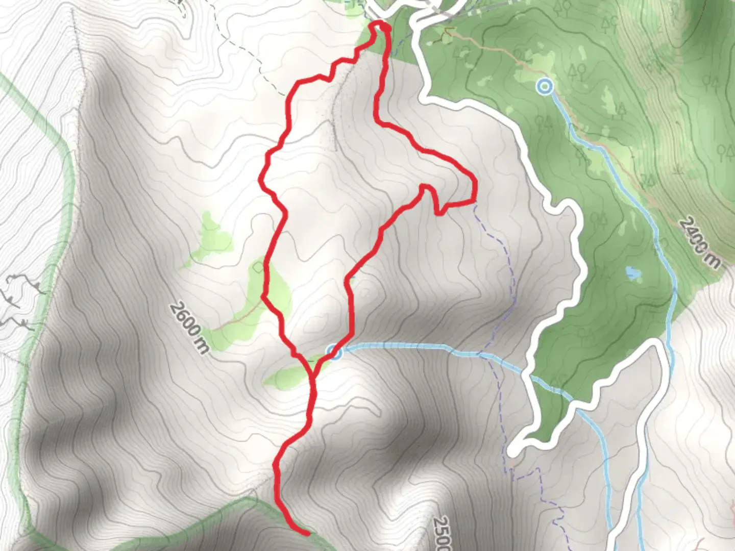
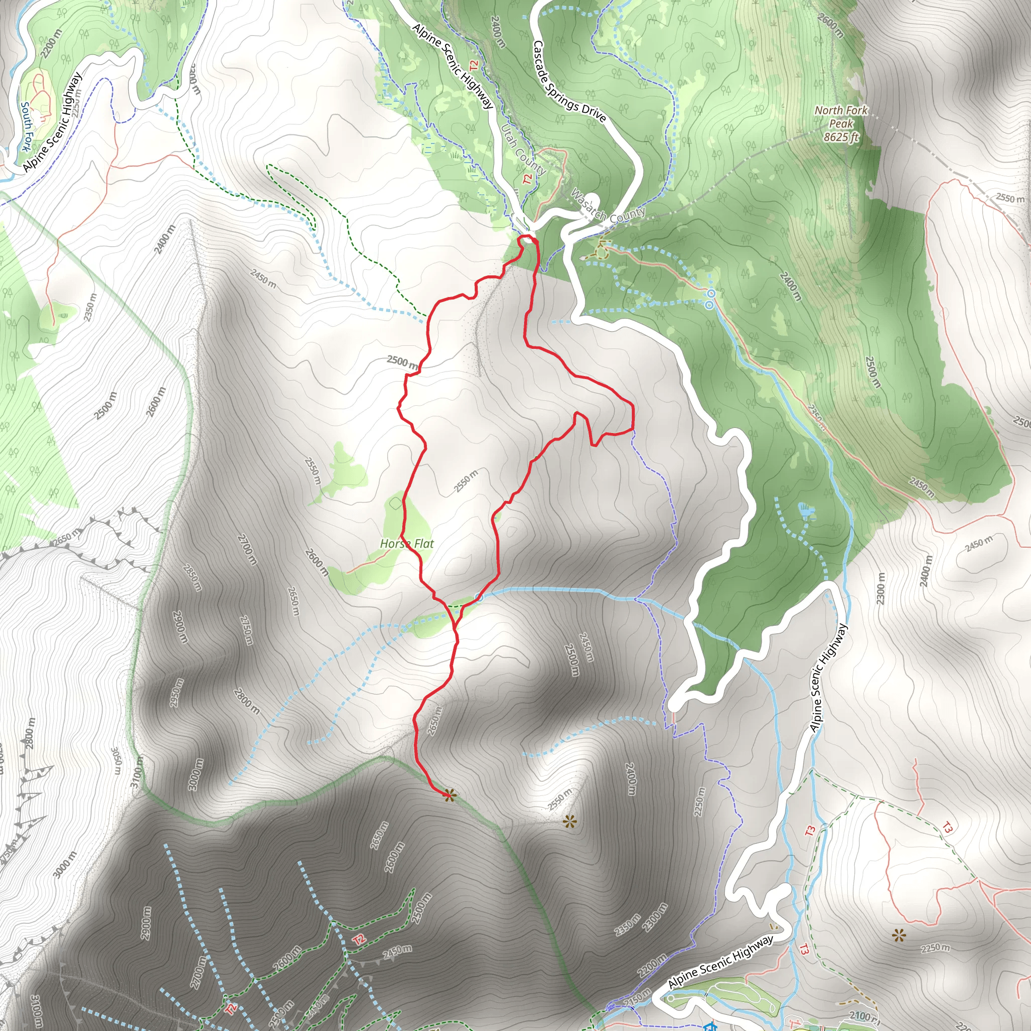
Starting your adventure near Utah County, Utah, the Lame Horse Trail and Horse Flat Trail loop offers a moderately challenging hike of around 6 km (approximately 3.7 miles) with an elevation gain of about 300 meters (roughly 984 feet). This trail is perfect for those looking to immerse themselves in the natural beauty of the region while enjoying a bit of a workout.
Getting There To reach the trailhead, you can drive or use public transportation. If driving, head towards the Alpine Loop Scenic Byway. The nearest significant landmark is the Timpooneke Campground, which is a good reference point for finding the trailhead. For those using public transport, the nearest major city is Provo, Utah. From Provo, you can take a bus to the American Fork Canyon area and then a taxi or rideshare service to the Timpooneke Campground.
Trail Navigation Using HiiKER for navigation is highly recommended to ensure you stay on the correct path and make the most of your hike. The loop trail is well-marked, but having a reliable navigation tool can help you track your progress and find points of interest along the way.
Trail Highlights The trail begins with a gentle ascent through a lush forest of aspen and pine trees. After about 1 km (0.6 miles), you'll start to notice the elevation gain as the trail becomes steeper. This section offers stunning views of the surrounding mountains and valleys, making it a great spot for photography.
Flora and Fauna As you continue, keep an eye out for the diverse wildlife that inhabits the area. Deer, elk, and various bird species are commonly seen along the trail. The flora is equally impressive, with wildflowers blooming in the spring and summer months, adding vibrant colors to the landscape.
Significant Landmarks Around the 3 km (1.8 miles) mark, you'll reach Horse Flat, a beautiful meadow that offers a perfect spot for a rest. This area is historically significant as it was once used by early settlers for grazing horses, hence the name. The meadow provides panoramic views of the surrounding peaks and is an excellent place to take a break and enjoy a snack.
Final Stretch The trail then loops back, descending gradually through more forested areas. The descent offers a different perspective of the landscape, with opportunities to spot more wildlife and enjoy the serene environment. The final 1 km (0.6 miles) brings you back to the trailhead, completing the loop.
Preparation Tips Given the moderate difficulty of the trail, it's advisable to wear sturdy hiking boots and bring plenty of water, especially during the warmer months. Weather can change rapidly in this region, so packing a light rain jacket and some layers is a good idea.
Historical Context The area around the Lame Horse Trail and Horse Flat Trail has a rich history tied to early American settlers and Native American tribes. The trails were originally used for transportation and grazing, and remnants of these historical uses can still be seen today.
This hike offers a blend of natural beauty, wildlife, and historical significance, making it a rewarding experience for any outdoor enthusiast.
What to expect?
Activity types
Comments and Reviews
User comments, reviews and discussions about the Lame Horse Trail and Horse Flat Trail, Utah.
4.5
average rating out of 5
18 rating(s)
