Download
Preview
Add to list
More
2.2 km
~37 min
112 m
Loop
“The Golden Eagle Peak Loop offers moderate hiking with stunning views, rich history, and diverse wildlife.”
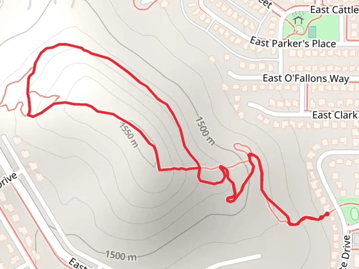
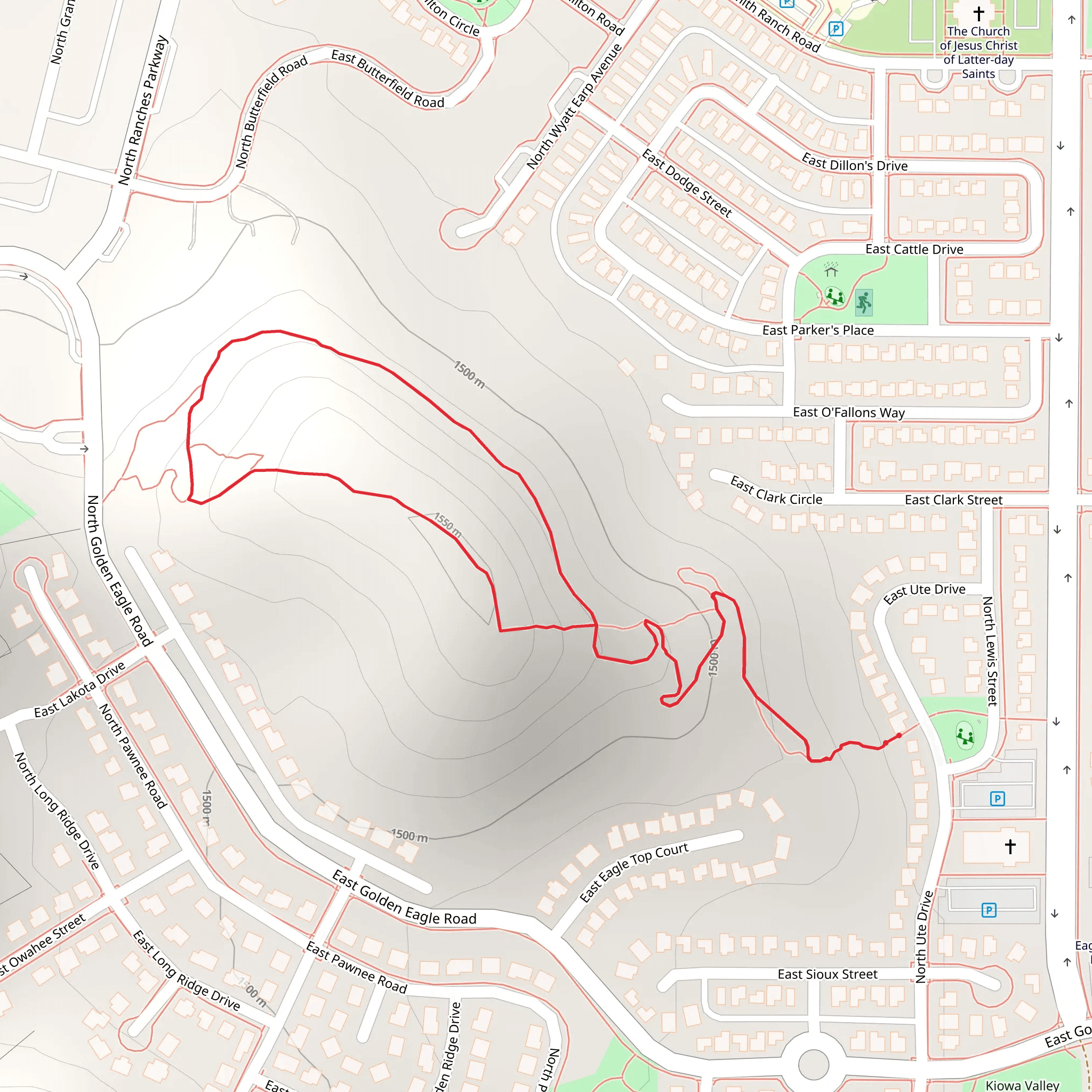
Starting near Utah County, Utah, the Golden Eagle Peak Loop is a delightful 2 km (1.24 miles) trail with an elevation gain of approximately 100 meters (328 feet). This loop trail is rated as medium difficulty, making it accessible for most hikers with a moderate level of fitness.### Getting There To reach the trailhead, you can drive or use public transport. If driving, head towards the nearest significant landmark, which is the Timpanogos Cave National Monument Visitor Center. From there, it's a short drive to the trailhead. For those using public transport, you can take a bus to the American Fork Canyon area and then a short taxi or rideshare to the trailhead.### Trail Overview The trail begins with a gentle ascent through a mixed forest of pine and aspen trees. Early on, you'll notice the rich biodiversity, with various bird species such as the American robin and the mountain bluebird making appearances. The first 0.5 km (0.31 miles) of the trail is relatively easy, with a gradual incline that allows you to warm up your legs.### Significant Landmarks At around the 1 km (0.62 miles) mark, you'll come across a small clearing that offers a stunning panoramic view of the surrounding Utah Valley. This is a great spot to take a break and snap some photos. The elevation gain here is about 50 meters (164 feet), and the trail starts to get a bit steeper as you continue.### Historical Significance The area around the Golden Eagle Peak Loop has a rich history. It was once inhabited by the Ute Native American tribe, and you might come across some ancient petroglyphs if you keep an eye out. These carvings offer a glimpse into the lives of the indigenous people who once roamed these lands.### Flora and Fauna As you continue your hike, you'll pass through areas dense with wildflowers, especially in the spring and early summer. Look out for the vibrant colors of Indian paintbrush and lupine. The trail also offers opportunities to spot wildlife such as mule deer and, if you're lucky, a golden eagle soaring high above.### Navigation The trail is well-marked, but it's always a good idea to have a reliable navigation tool. HiiKER is an excellent app for this purpose, providing detailed maps and real-time tracking to ensure you stay on course.### Final Stretch The last 0.5 km (0.31 miles) of the trail loops back towards the starting point, descending gradually through a shaded forest area. This part of the trail is less steep, allowing you to cool down as you make your way back. The total elevation gain for the entire loop is around 100 meters (328 feet), making it a manageable hike for most people.Whether you're a seasoned hiker or a beginner looking for a moderate challenge, the Golden Eagle Peak Loop offers a rewarding experience with its stunning views, rich history, and diverse flora and fauna.
What to expect?
Activity types
Comments and Reviews
User comments, reviews and discussions about the Golden Eagle Peak Loop, Utah.
4.22
average rating out of 5
23 rating(s)
