Download
Preview
Add to list
More
4.0 km
~1 hrs 3 min
153 m
Out and Back
“Experience a moderately challenging 4 km Utah trail with stunning views, local wildlife, and historical significance.”
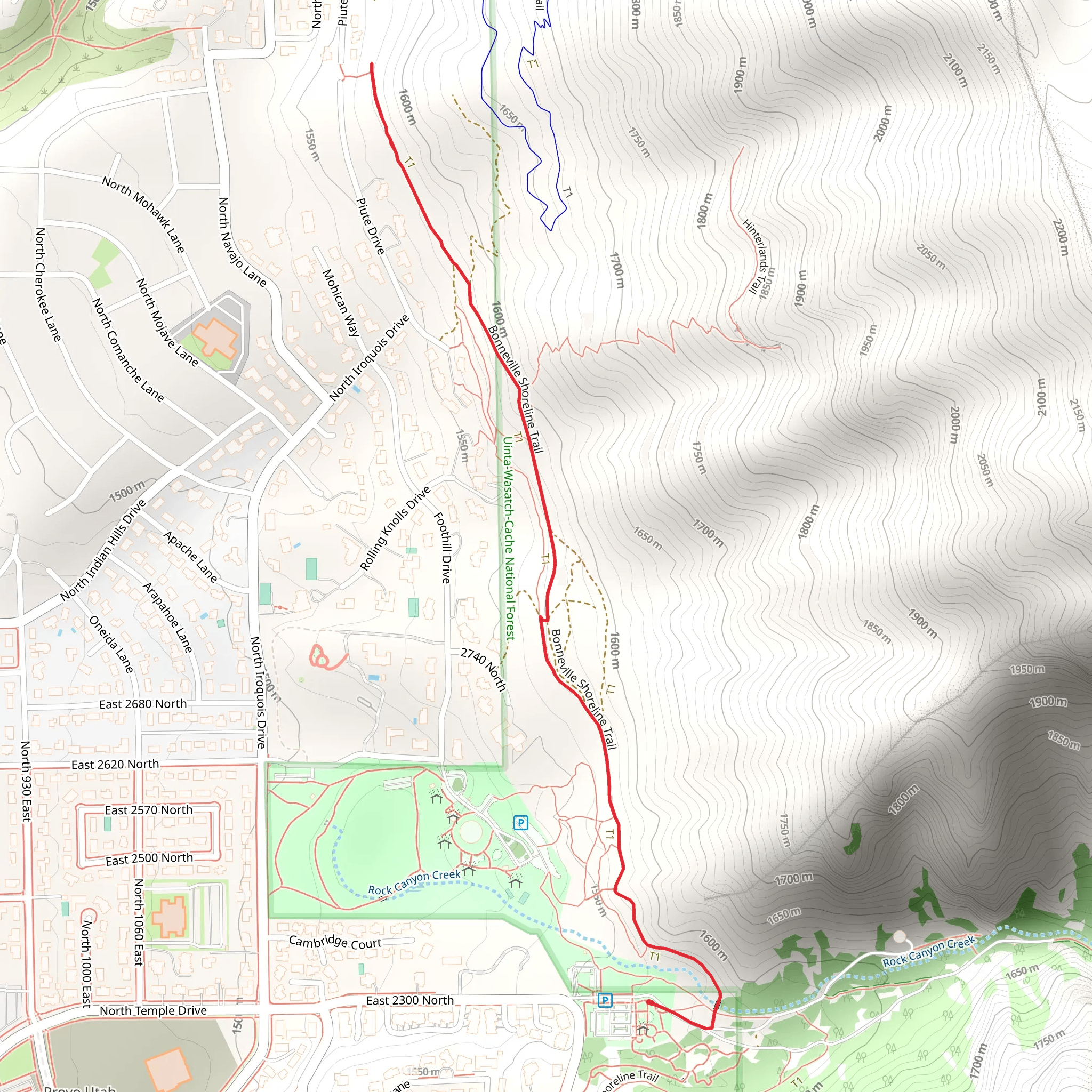
Starting near Utah County, Utah, this 4 km (approximately 2.5 miles) out-and-back trail offers a moderate challenge with an elevation gain of around 100 meters (328 feet). The trailhead is conveniently located near the city of Provo, making it accessible for both locals and visitors.
Getting There To reach the trailhead, you can drive or use public transportation. If driving, head towards Provo and look for parking near the Provo Canyon area. For those using public transport, the Utah Transit Authority (UTA) offers bus services that can drop you off near the trailhead. Check the UTA schedule for the most convenient routes and times.
Trail Overview The trail begins with a gentle ascent, allowing you to ease into the hike. As you progress, the path becomes steeper, offering a good workout without being overly strenuous. The trail is well-marked, but it's always a good idea to have a navigation tool like HiiKER to ensure you stay on track.
Landmarks and Scenic Views About 1 km (0.6 miles) into the hike, you'll come across a small clearing that offers a stunning view of the surrounding mountains. This is a great spot for a quick rest and some photos. Continuing on, you'll encounter a series of switchbacks that lead you higher up the trail. These switchbacks are surrounded by lush vegetation, including native Utah flora like Gambel oak and sagebrush.
Wildlife and Nature Keep an eye out for local wildlife, including mule deer and various bird species such as the American kestrel and red-tailed hawk. The area is also home to smaller creatures like chipmunks and lizards, which you might spot darting across the trail.
Historical Significance The region around Provo Canyon has a rich history, dating back to the early Native American tribes who first inhabited the area. Later, it became a significant route for pioneers and settlers moving westward. As you hike, you might notice remnants of old trails and pathways that were once used by these early travelers.
Final Stretch As you approach the 2 km (1.25 miles) mark, the trail levels out, offering a more relaxed walk to the turnaround point. Here, you'll find another scenic overlook that provides panoramic views of the canyon and the valley below. This is an ideal spot to take a break, enjoy a snack, and soak in the natural beauty before heading back the way you came.
Preparation Tips Given the moderate difficulty of the trail, it's advisable to wear sturdy hiking boots and bring plenty of water, especially during the warmer months. The trail can be rocky in sections, so trekking poles might be useful for added stability. Always check the weather forecast before heading out and dress in layers to accommodate changing conditions.
Using HiiKER for navigation will ensure you stay on the correct path and can help you identify key points of interest along the way. Enjoy your hike and take the time to appreciate the natural and historical richness of this beautiful Utah trail.
What to expect?
Activity types
Comments and Reviews
User comments, reviews and discussions about the BST, Utah.
4.56
average rating out of 5
16 rating(s)
