Download
Preview
Add to list
More
4.7 km
~1 hrs 19 min
233 m
Out and Back
“Experience the natural beauty and historical richness of Whiskey Creek Trail's 5-kilometer moderately challenging hike.”
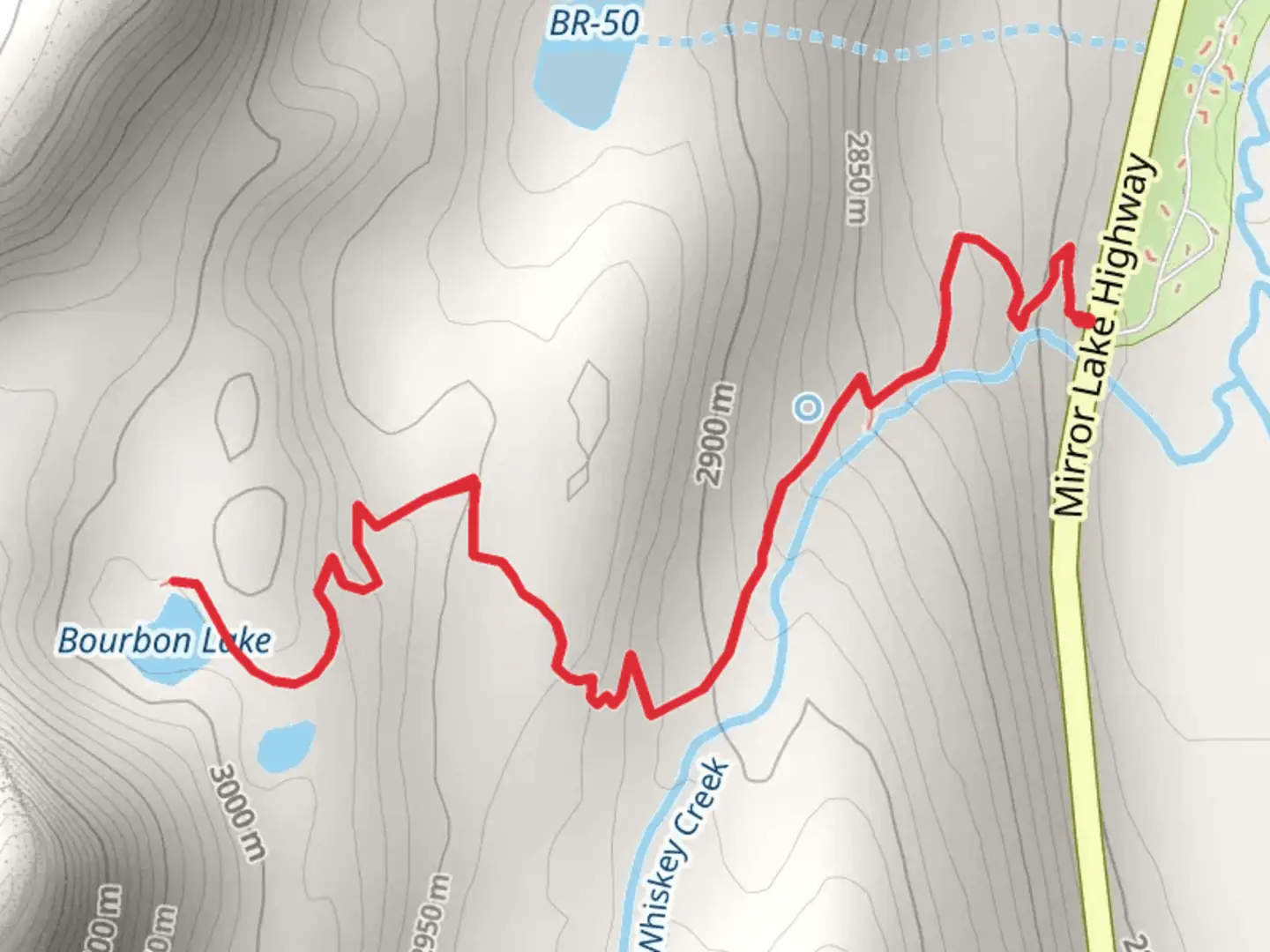
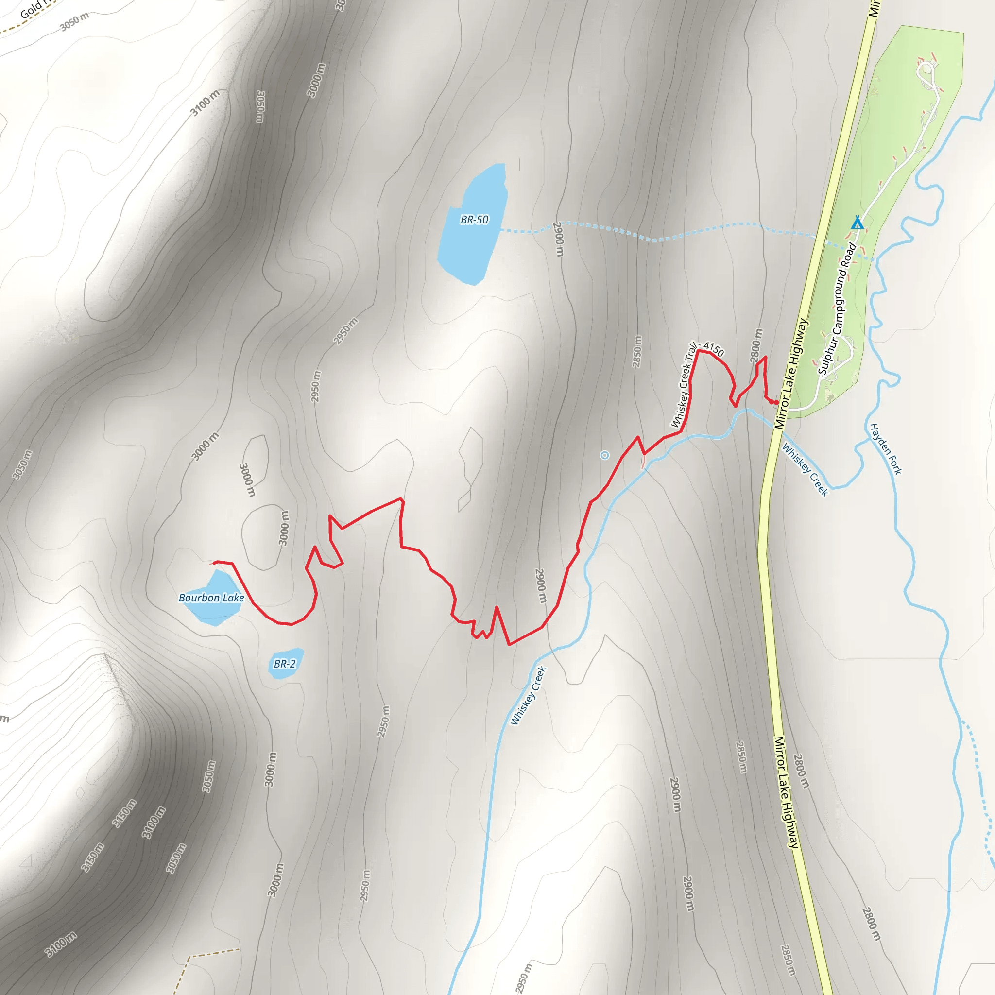
Starting near Summit County, Utah, the Whiskey Creek Trail offers a moderately challenging hike that spans approximately 5 kilometers (about 3.1 miles) with an elevation gain of around 200 meters (656 feet). This out-and-back trail is perfect for those looking to experience the natural beauty and historical richness of the area.
Getting There To reach the trailhead, you can drive or use public transportation. If driving, head towards Summit County and look for parking near the intersection of Mirror Lake Highway and Whiskey Creek Road. For those using public transport, the nearest bus stop is at Kamas, UT, from where you can take a local taxi or rideshare service to the trailhead.
Trail Overview The trail begins with a gentle ascent through a mixed forest of aspen and pine trees. Early in the hike, you'll cross a small wooden bridge over Whiskey Creek, a picturesque spot perfect for a quick photo or a moment of reflection. The first kilometer (0.6 miles) is relatively easy, with an elevation gain of about 50 meters (164 feet).
Significant Landmarks As you continue, the trail becomes steeper, leading you to a series of switchbacks. Around the 2-kilometer (1.2-mile) mark, you'll encounter a large rock outcrop known locally as "Eagle's Perch." This is a great spot to take a break and enjoy panoramic views of the surrounding valleys and mountains.
Flora and Fauna The Whiskey Creek Trail is home to a variety of wildlife, including mule deer, elk, and occasionally black bears. Birdwatchers will also appreciate the diverse avian population, including hawks, eagles, and various songbirds. The flora is equally impressive, with wildflowers such as lupine and Indian paintbrush blooming in the spring and summer months.
Historical Significance The area around Whiskey Creek has a rich history. In the late 1800s, it was a popular route for miners heading to the nearby silver mines. Remnants of old mining equipment and cabins can still be seen along the trail, offering a glimpse into the past. Be sure to tread carefully around these historical artifacts to preserve them for future generations.
Navigation and Safety Given the moderate difficulty of the trail, it's advisable to use a reliable navigation tool like HiiKER to keep track of your progress and ensure you stay on the correct path. The trail is well-marked, but weather conditions can change rapidly, so always be prepared with appropriate gear, including sturdy hiking boots, a map, and plenty of water.
Final Stretch The final kilometer (0.6 miles) of the trail levels out as you approach the turnaround point, a serene meadow with Whiskey Creek flowing gently through it. This is an ideal spot for a picnic or simply to relax and take in the natural beauty before heading back the way you came.
By following these guidelines and being prepared, you'll have a rewarding and enjoyable experience on the Whiskey Creek Trail.
What to expect?
Activity types
Comments and Reviews
User comments, reviews and discussions about the Whiskey Creek Trail, Utah.
4.58
average rating out of 5
19 rating(s)
