Download
Preview
Add to list
More
12.9 km
~3 hrs 17 min
432 m
Out and Back
“Embark on a moderately challenging journey through the Uinta Mountains to serene Ibantik Lake, rich in scenery.”
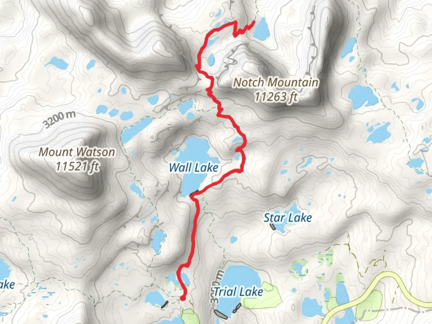
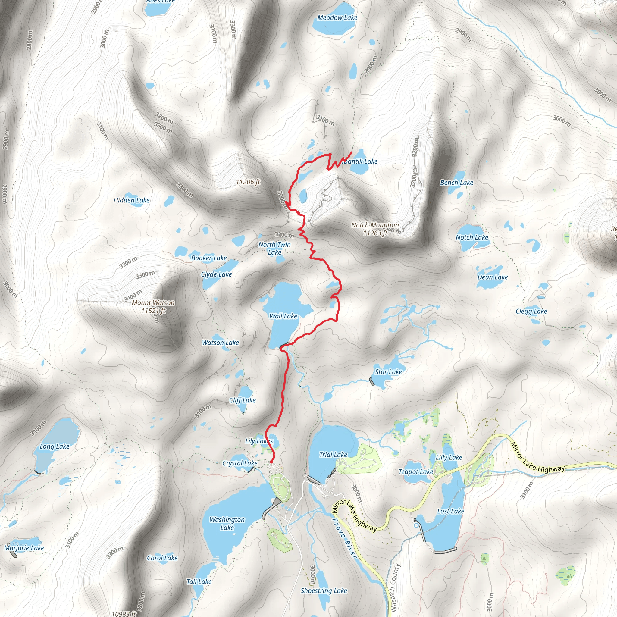
Starting your adventure near Summit County, Utah, the Ibantik Lake via Wall Lake Trail offers a captivating journey through the Uinta Mountains. This out-and-back trail spans approximately 13 kilometers (8 miles) with an elevation gain of around 400 meters (1,312 feet), making it a moderately challenging hike suitable for those with some hiking experience.### Getting There To reach the trailhead, drive to the Crystal Lake Trailhead, located off Mirror Lake Highway (UT-150). If you're using public transport, the nearest major city is Salt Lake City. From there, you can take a bus to Kamas, Utah, and then arrange for a local shuttle or taxi to the trailhead. The trailhead is well-marked and offers parking facilities.### Trail Overview The trail begins at an elevation of approximately 3,048 meters (10,000 feet) and meanders through dense forests of pine and aspen. Early on, you'll encounter Wall Lake, a picturesque alpine lake surrounded by rugged cliffs. This is a great spot to take a break and enjoy the serene environment.### Key Landmarks and Points of Interest - Wall Lake (1.6 km / 1 mile in): This stunning lake is a popular spot for fishing and picnicking. The clear waters reflect the surrounding cliffs, creating a perfect photo opportunity. - Notch Mountain (3.2 km / 2 miles in): As you continue, you'll pass by Notch Mountain, a prominent peak that offers panoramic views of the Uinta range. The trail here becomes steeper, so be prepared for a bit of a climb. - Ibantik Lake (6.5 km / 4 miles in): The trail culminates at Ibantik Lake, a secluded alpine lake nestled in a glacial cirque. The area around the lake is ideal for camping, and you might spot wildlife such as deer, marmots, and various bird species.### Flora and Fauna The trail is rich in biodiversity. In the lower elevations, you'll find dense forests of lodgepole pine and quaking aspen. As you ascend, the vegetation transitions to subalpine meadows filled with wildflowers during the summer months. Keep an eye out for wildlife, including mule deer, elk, and a variety of bird species.### Historical Significance The Uinta Mountains have a rich history, with evidence of Native American habitation dating back thousands of years. The area was also explored by early trappers and settlers in the 19th century. The Mirror Lake Highway, which you use to access the trailhead, was originally a route used by these early explorers.### Navigation and Safety Given the moderate difficulty of the trail, it's advisable to use a reliable navigation tool like HiiKER to keep track of your progress and ensure you stay on the correct path. The trail is well-marked, but weather conditions can change rapidly in the mountains, so always be prepared with appropriate gear, including a map, compass, and extra layers of clothing.### Final Tips - Water: Carry enough water, as natural sources may not always be reliable. - Weather: Check the weather forecast before you go. Afternoon thunderstorms are common in the summer. - Leave No Trace: Follow Leave No Trace principles to keep the trail pristine for future hikers.This trail offers a rewarding experience with its stunning landscapes, diverse wildlife, and historical significance. Whether you're an experienced hiker or looking to challenge yourself, the Ibantik Lake via Wall Lake Trail is a must-visit.
What to expect?
Activity types
Comments and Reviews
User comments, reviews and discussions about the Ibantik Lake via Wall Lake Trail, Utah.
4.5
average rating out of 5
18 rating(s)
