Download
Preview
Add to list
More
8.1 km
~1 hrs 50 min
134 m
Out and Back
“Discover the Haystack Lake Trail's blend of natural beauty, historical intrigue, and moderate challenge near Summit County.”
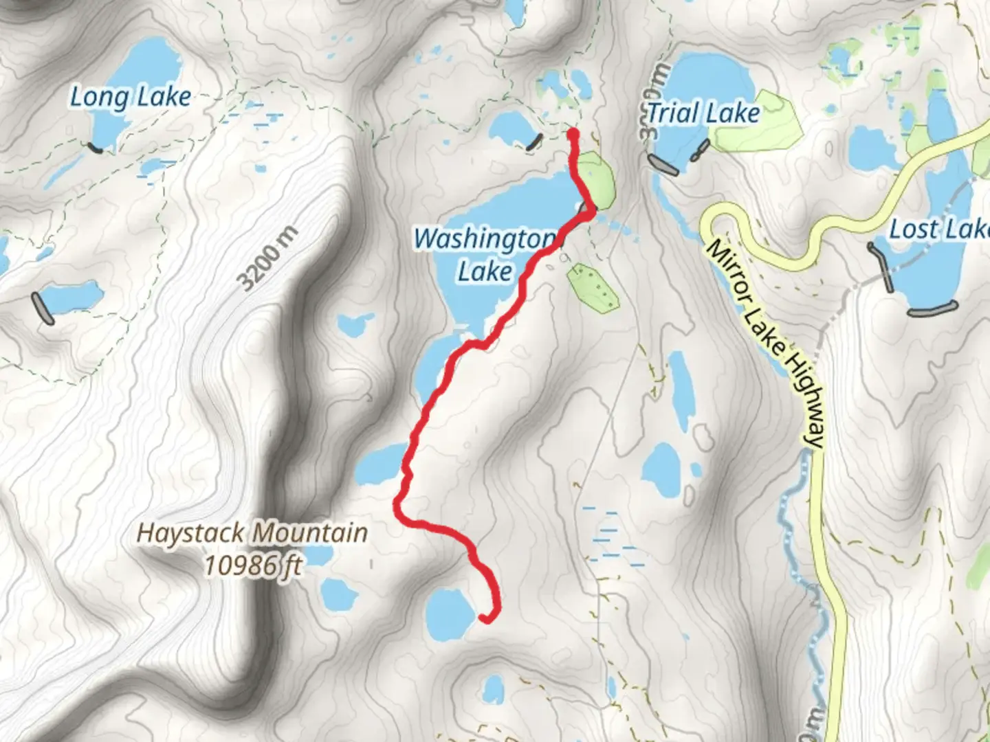
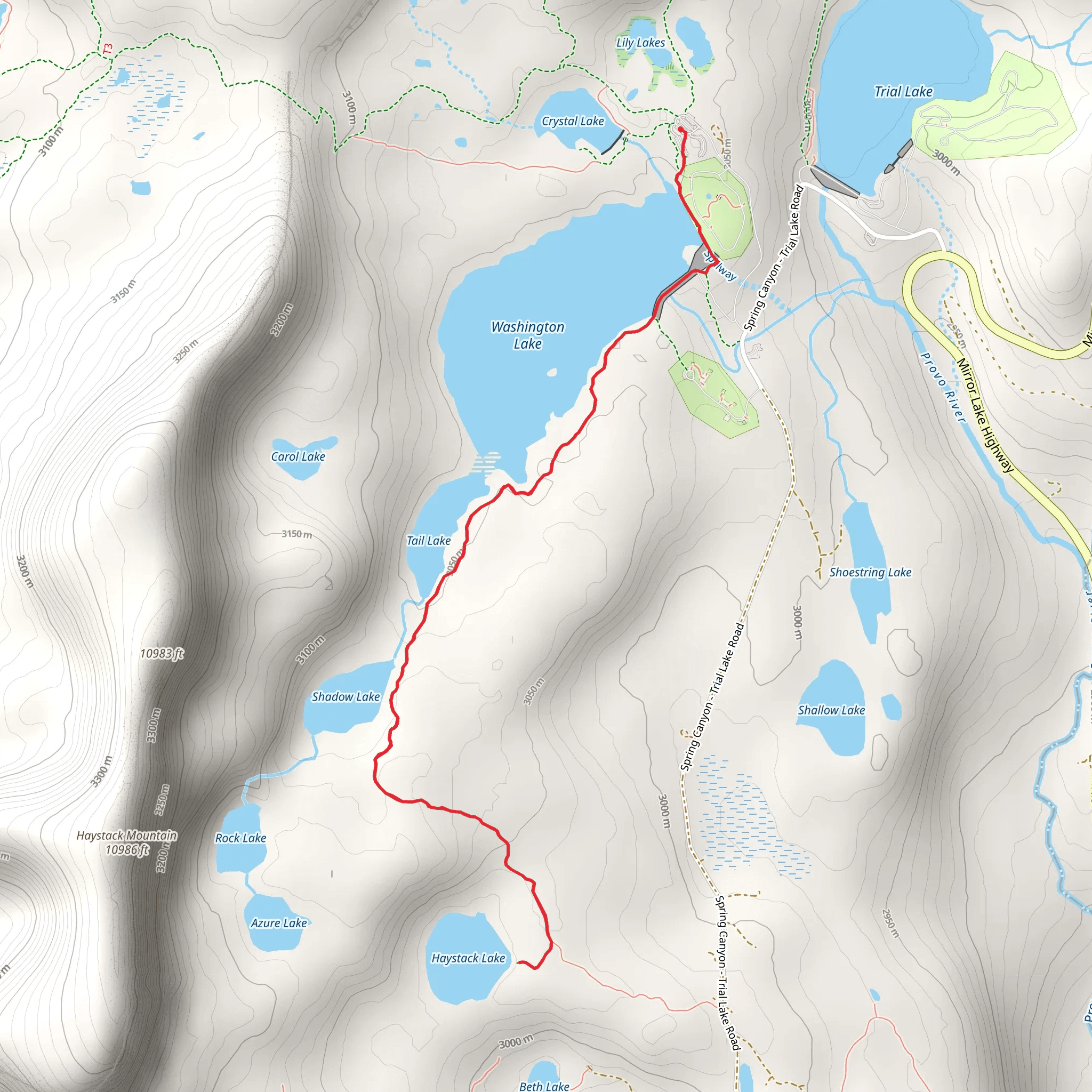
Starting your journey near Summit County, Utah, the Haystack Lake Trail offers an invigorating 8 km (approximately 5 miles) out-and-back hike with an elevation gain of around 100 meters (328 feet). This trail is rated as medium difficulty, making it accessible for moderately experienced hikers.### Getting There To reach the trailhead, you can drive or use public transport. If you're driving, head towards the Mirror Lake Highway (UT-150), which is the closest major road. The trailhead is near the Crystal Lake Trailhead parking area, which is well-signposted. For those relying on public transport, the nearest significant landmark is Kamas, Utah. From Kamas, you can take a local shuttle or taxi service to the trailhead.### Trail Overview The trail begins with a gentle ascent through a dense forest of pine and aspen trees. The initial 1.5 km (0.9 miles) is relatively easy, with a well-marked path that gradually climbs. As you progress, the trail becomes rockier, so sturdy hiking boots are recommended.### Key Landmarks and Nature Around the 2 km (1.2 miles) mark, you'll encounter a small, picturesque meadow. This is a great spot to take a short break and enjoy the wildflowers that bloom in the spring and summer months. Keep an eye out for local wildlife such as mule deer, elk, and various bird species.Continuing on, the trail starts to climb more steeply. At approximately 4 km (2.5 miles), you'll reach a viewpoint offering stunning vistas of the Uinta Mountains. This is one of the most rewarding sections of the hike, providing ample photo opportunities.### Historical Significance The region around Haystack Lake has a rich history. The Uinta Mountains were historically inhabited by the Ute Native American tribe. Artifacts and ancient campsites have been found in the area, adding a layer of historical intrigue to your hike. The Mirror Lake Highway itself was constructed in the 1930s as part of a New Deal project, aimed at providing jobs during the Great Depression.### Final Stretch to Haystack Lake The last 2 km (1.2 miles) of the trail involve a series of switchbacks that lead you to Haystack Lake. The elevation gain here is more noticeable, but the trail remains well-maintained. Upon reaching the lake, you'll be greeted by crystal-clear waters surrounded by rugged mountain peaks. This serene spot is perfect for a picnic or simply to relax and take in the natural beauty.### Navigation and Safety For navigation, it's advisable to use the HiiKER app, which provides detailed maps and real-time updates. The trail is generally well-marked, but having a reliable navigation tool can be invaluable, especially if weather conditions change.### Return Journey The return journey follows the same path back to the trailhead. While descending, take your time to enjoy the different perspectives and perhaps spot some wildlife you might have missed on the way up.This trail offers a balanced mix of natural beauty, moderate physical challenge, and historical context, making it a rewarding experience for any hiker.
What to expect?
Activity types
Comments and Reviews
User comments, reviews and discussions about the Haystack Lake Trail, Utah.
4.41
average rating out of 5
17 rating(s)
