Download
Preview
Add to list
More
14.5 km
~3 hrs 56 min
627 m
Out and Back
“The Gardners Creek trail offers scenic views, historical landmarks, and a moderate 14 km hike with significant elevation gains.”
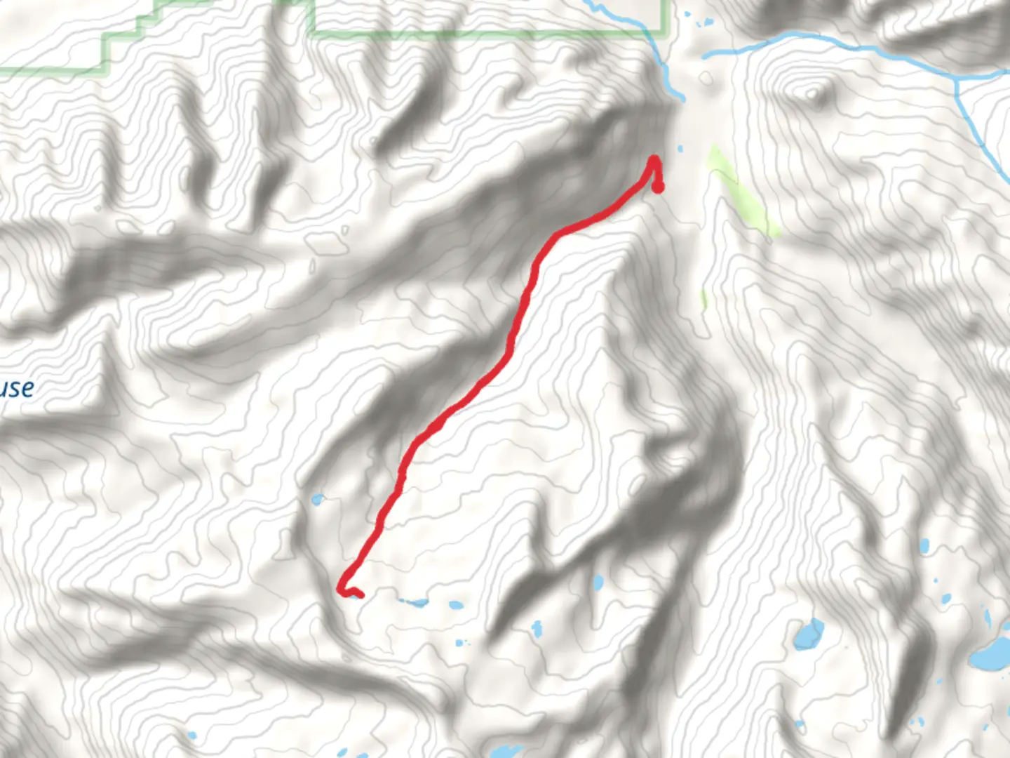
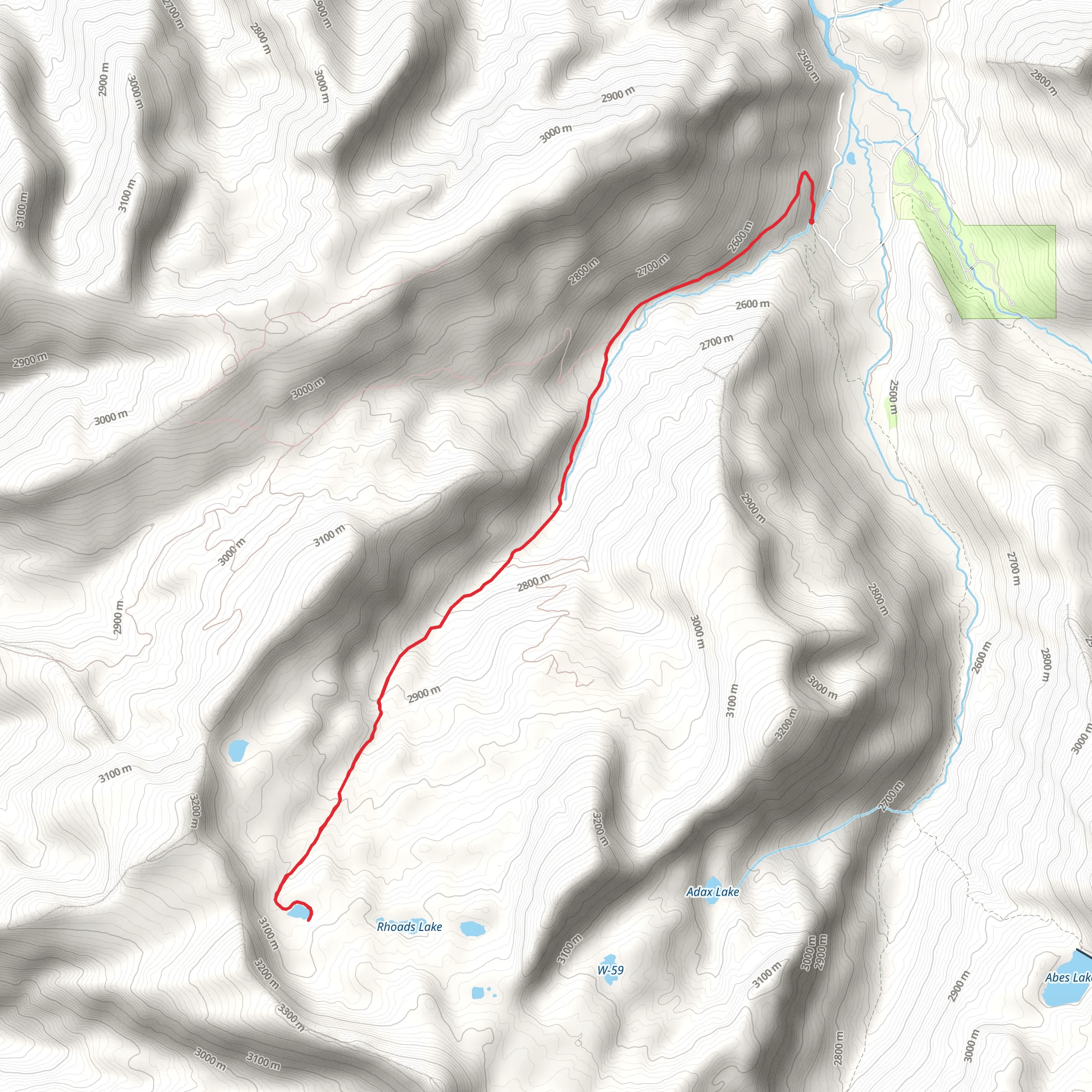
Starting near Summit County, Utah, this 14 km (approximately 8.7 miles) out-and-back trail offers a moderate challenge with an elevation gain of around 600 meters (about 1,968 feet). The trailhead is accessible by car, with parking available nearby. For those using public transport, the nearest significant landmark is the Kimball Junction Transit Center, from where you can take a local taxi or rideshare service to the trailhead.
Trail Overview
The Gardners Creek trail begins with a gentle ascent through a mixed forest of aspen and pine. The initial 2 km (1.2 miles) are relatively easy, making it a good warm-up for the more strenuous sections ahead. As you progress, the trail becomes steeper, and the terrain shifts to rocky outcrops and loose gravel. Hikers should be prepared for this change in footing and consider using trekking poles for added stability.
Key Landmarks and Points of Interest
At around the 3 km (1.9 miles) mark, you'll encounter a small, picturesque waterfall. This is a great spot to take a break and enjoy the natural beauty. The sound of the cascading water and the surrounding lush vegetation make it a serene stop.
Continuing on, the trail opens up to a meadow at approximately 5 km (3.1 miles). This area is often frequented by local wildlife, including deer and various bird species. Keep your eyes peeled and your camera ready, but remember to maintain a respectful distance from any animals you encounter.
Historical Significance
The region around Gardners Creek has a rich history tied to early settlers and Native American tribes. The trail itself follows part of an old route used by trappers and traders in the 19th century. As you hike, you may notice remnants of old cabins and mining equipment, offering a glimpse into the area's past.
Elevation and Terrain
The most challenging part of the hike begins after the meadow, with a steep ascent over the next 2 km (1.2 miles). This section gains about 300 meters (984 feet) in elevation, so take your time and pace yourself. The trail here is narrow and can be slippery, especially after rain, so good hiking boots with strong grip are essential.
Navigation and Safety
Given the varying terrain and potential for sudden weather changes, it's advisable to use a reliable navigation tool like HiiKER to stay on track. The trail is well-marked, but having a digital map can provide extra assurance.
Final Stretch
The last 2 km (1.2 miles) to the turnaround point offer stunning views of the surrounding valleys and peaks. On a clear day, you can see for miles, making the effort well worth it. This section is less steep but still requires careful footing due to loose rocks.
Return Journey
The return journey follows the same path, allowing you to revisit the landmarks and perhaps notice things you missed on the way up. The descent can be tough on the knees, so take it slow and use trekking poles if needed.
Getting There
To reach the trailhead by car, head towards Summit County and follow signs for the Gardners Creek trailhead. Parking is available, but it can fill up quickly on weekends, so an early start is recommended. If using public transport, the Kimball Junction Transit Center is the closest major hub. From there, a short taxi or rideshare ride will get you to the trailhead.
This trail offers a mix of natural beauty, historical intrigue, and a moderate physical challenge, making it a rewarding hike for those prepared to tackle its varied terrain.
What to expect?
Activity types
Comments and Reviews
User comments, reviews and discussions about the Gardners Creek, Utah.
4.25
average rating out of 5
8 rating(s)
