Download
Preview
Add to list
More
31.2 km
~1 day 2 hrs
522 m
Out and Back
“The East Fork Smiths Fork Trail offers 19 miles of scenic hiking with moderate difficulty and historical intrigue.”
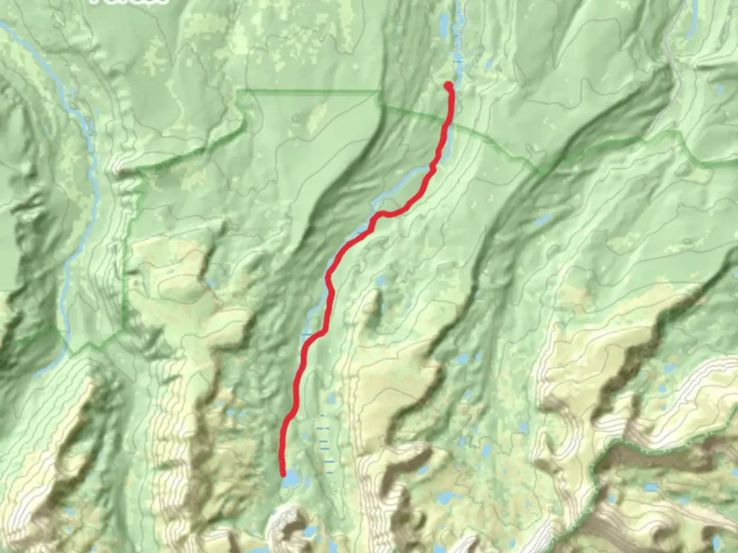
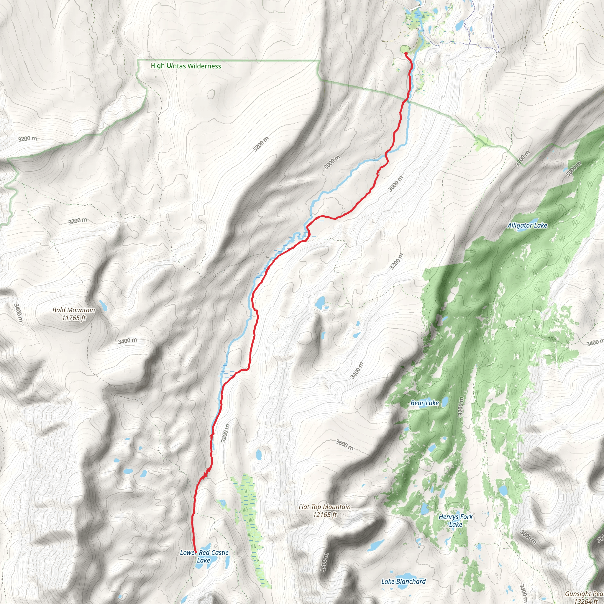
Starting near Summit County, Utah, the East Fork Smiths Fork Trail stretches approximately 31 kilometers (about 19 miles) with an elevation gain of around 500 meters (1,640 feet). This out-and-back trail is rated as medium difficulty, making it suitable for moderately experienced hikers.### Getting There To reach the trailhead, you can drive or use public transportation. If driving, head towards the Mirror Lake Highway (UT-150) from Kamas, Utah. The trailhead is located near the East Fork Blacks Fork Campground, which is a well-known landmark in the area. For those relying on public transport, the nearest major town is Kamas, where you can catch a local bus or arrange for a shuttle service to the trailhead.### Trail Overview The trail begins at an elevation of approximately 2,438 meters (8,000 feet) and gradually ascends to around 2,938 meters (9,640 feet). The initial section of the trail meanders through dense pine forests, offering a cool and shaded environment. As you progress, the trail opens up to expansive meadows filled with wildflowers during the summer months.### Key Landmarks and Points of Interest - East Fork Blacks Fork Campground: This is your starting point, a well-maintained campground with basic amenities. It's a good spot to ensure you have all your gear in order before setting off. - Meadow Sections: Around 5 kilometers (3 miles) into the hike, you'll encounter the first of several meadows. These open spaces are perfect for spotting wildlife such as deer and various bird species. - Smiths Fork River: The trail closely follows the East Fork of the Smiths Fork River. There are several points where you can access the river for a refreshing break or to refill your water supply (always treat water before drinking). - High Alpine Lakes: Approximately 15 kilometers (9 miles) in, you'll reach a series of high alpine lakes. These pristine bodies of water are ideal for a lunch break and offer stunning photo opportunities. - Historical Significance: The region has a rich history tied to early Native American tribes and later, European settlers. The trail itself was used by trappers and explorers in the 19th century, adding a layer of historical intrigue to your hike.### Wildlife and Flora The trail is home to a diverse range of wildlife. Keep an eye out for moose, elk, and black bears, especially in the more remote sections. Birdwatchers will enjoy spotting species like the Mountain Bluebird and Clark's Nutcracker. The flora varies from dense pine forests to alpine meadows filled with lupines, Indian paintbrush, and columbines.### Navigation and Safety Given the trail's moderate difficulty, it's advisable to use a reliable navigation tool like HiiKER to keep track of your progress and ensure you stay on course. The trail is well-marked, but weather conditions can change rapidly, especially at higher elevations. Always carry a map, compass, and GPS device.### Preparation Tips - Gear: Sturdy hiking boots, trekking poles, and layered clothing are recommended. The weather can be unpredictable, so be prepared for both warm and cold conditions. - Water and Food: Carry enough water for the entire hike, and consider bringing a water filter for refills from natural sources. Pack high-energy snacks and a substantial lunch. - Permits and Regulations: Check local regulations regarding permits and camping if you plan to extend your hike into a multi-day adventure. Always follow Leave No Trace principles to preserve the natural beauty of the area.This trail offers a rewarding experience with its mix of natural beauty, wildlife, and historical significance. Whether you're a seasoned hiker or looking to challenge yourself, the East Fork Smiths Fork Trail provides a memorable adventure.
What to expect?
Activity types
Comments and Reviews
User comments, reviews and discussions about the East Fork Smiths Fork Trail, Utah.
4.33
average rating out of 5
12 rating(s)
