Download
Preview
Add to list
More
14.6 km
~4 hrs 37 min
1020 m
Out and Back
“Embark on the moderately challenging Castle Peak via Yellow Pine Trail for stunning views and rich history.”
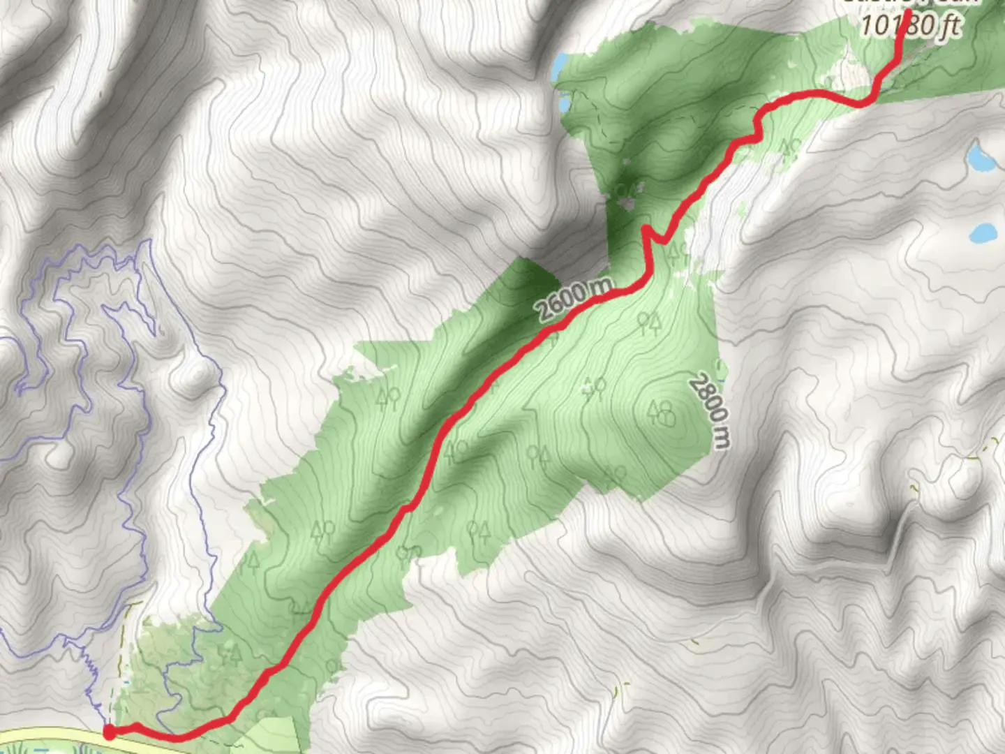
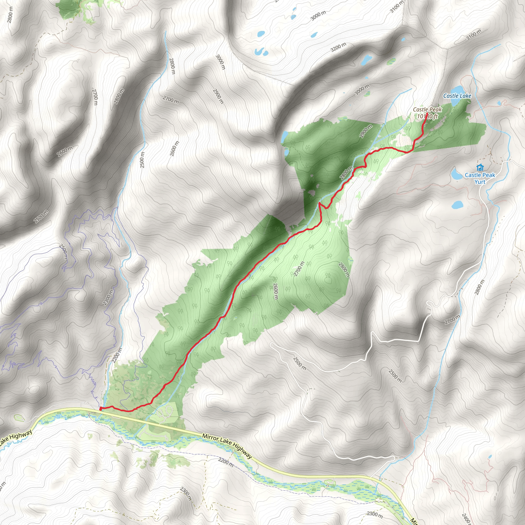
Starting your adventure near Summit County, Utah, the Castle Peak via Yellow Pine Trail offers a captivating journey through diverse landscapes. This out-and-back trail spans approximately 15 km (9.3 miles) with an elevation gain of around 1000 meters (3280 feet), making it a moderately challenging hike suitable for those with a decent level of fitness.
Getting There To reach the trailhead, you can drive or use public transport. If driving, head towards Summit County and look for parking near the Yellow Pine Trailhead. For those relying on public transport, the nearest significant landmark is the town of Kamas, Utah. From Kamas, you can take a local shuttle or taxi service to the trailhead.
Trail Overview The trail begins with a gentle ascent through a dense forest of yellow pines, which gives the trail its name. The first 2 km (1.2 miles) are relatively easy, with an elevation gain of about 150 meters (492 feet). This section is perfect for warming up your legs and getting accustomed to the terrain.
Mid-Trail Landmarks As you progress, the trail becomes steeper, and you'll encounter a series of switchbacks around the 4 km (2.5 miles) mark. Here, the elevation gain becomes more noticeable, adding another 300 meters (984 feet) over the next 3 km (1.9 miles). Keep an eye out for the stunning views of the Uinta Mountains as you ascend.
Around the halfway point, approximately 7.5 km (4.7 miles) in, you'll reach a small clearing with a panoramic view of Castle Peak. This is an excellent spot for a short break and some photos. The trail then continues through alpine meadows, where wildflowers bloom in abundance during the summer months.
Wildlife and Nature The area is rich in wildlife, so be prepared to spot deer, elk, and possibly even a black bear. Birdwatchers will also enjoy the variety of species that inhabit the region, including hawks and eagles. Always remember to maintain a safe distance from wildlife and follow Leave No Trace principles.
Final Ascent The final 2 km (1.2 miles) to Castle Peak are the most challenging, with an elevation gain of about 250 meters (820 feet). The trail becomes rocky and less defined, so using a navigation tool like HiiKER is highly recommended to stay on track. As you approach the summit, the terrain becomes more rugged, but the 360-degree views from the top are well worth the effort.
Historical Significance Castle Peak and the surrounding area have a rich history. The Uinta Mountains were historically inhabited by the Ute tribe, and the region was later explored by European settlers in the 19th century. The trail itself has been used for centuries, initially by Native Americans and later by miners and settlers.
Return Journey After soaking in the views and perhaps enjoying a well-deserved snack, retrace your steps back to the trailhead. The descent offers a different perspective of the landscape, and the downhill sections provide a welcome relief after the strenuous climb.
Preparation Tips Ensure you carry enough water, as there are limited sources along the trail. Weather can change rapidly in the mountains, so pack layers and be prepared for sudden shifts. Good hiking boots are essential due to the rocky sections near the summit.
This trail offers a rewarding experience for those willing to take on its challenges, with stunning views, rich history, and diverse wildlife making it a memorable hike.
What to expect?
Activity types
Comments and Reviews
User comments, reviews and discussions about the Castle Peak via Yellow Pine Trail, Utah.
4.56
average rating out of 5
18 rating(s)
