Download
Preview
Add to list
More
20.2 km
~1 day 0 hrs
800 m
Out and Back
“Embark on the Amethyst Lake Trail for a serene trek through the Uinta's historical tapestry, culminating in a crystalline mountain gem.”
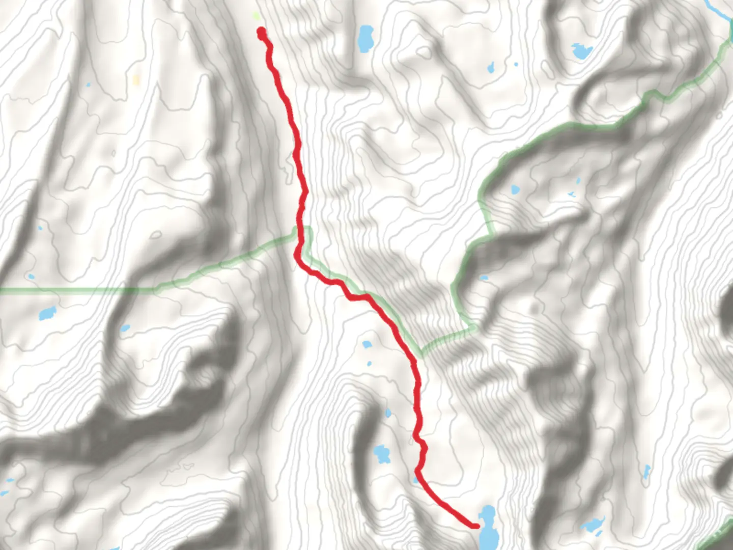
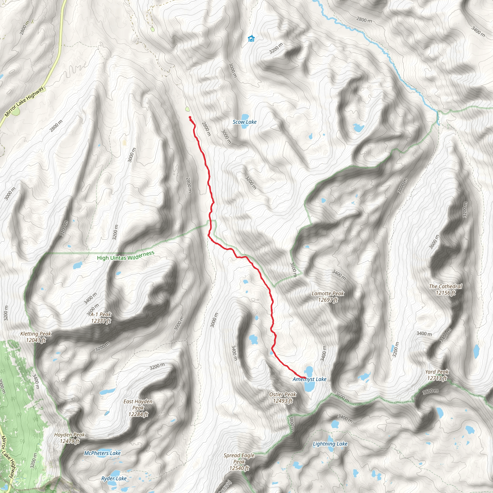
The Amethyst Lake Trail, nestled in the Uinta Mountains near Summit County, Utah, offers hikers a moderately challenging journey through diverse landscapes, culminating at the stunning Amethyst Lake. Spanning approximately 20 kilometers (12.4 miles) round trip with an elevation gain of about 800 meters (2625 feet), this out-and-back trail is a favorite among those seeking both solitude and natural beauty.
Getting to the Trailhead To reach the trailhead, you can drive or take public transportation to the Christmas Meadows Campground, which is the nearest landmark to the starting point. From Salt Lake City, take the I-80 E towards Evanston. Exit onto Mirror Lake Highway (UT-150) and head south for about 48 kilometers (30 miles) until you reach the campground. Parking is available near the trailhead.
The Hike Itself As you embark on the Amethyst Lake Trail, the first few kilometers will take you through a lush forest of conifers, with the sound of Stillwater Fork river accompanying your steps. The trail is well-defined and marked, but carrying a navigation tool like HiiKER is recommended to keep track of your progress and waypoints.
Landmarks and Natural Features At approximately 5 kilometers (3.1 miles) in, you'll encounter the first significant landmark, the Ostler Fork junction. Here, the trail begins to ascend more steeply, offering glimpses of the surrounding peaks through breaks in the forest canopy.
Continuing on, the trail meanders through open meadows dotted with vibrant wildflowers during the summer months. Keep an eye out for wildlife such as moose, elk, and various bird species that inhabit the area. The trail's midpoint is marked by a series of switchbacks, which lead to a more challenging section with rocky terrain and steeper inclines.
Historical Significance The Uinta Mountains are one of the few ranges in North America that run east to west and have a rich geological history. The region was once inhabited by the Ute tribe, and the name "Uinta" is derived from these indigenous people. As you hike, consider the historical significance of the land and the ancient paths trodden by the Ute tribe long before it became a trail.
Approaching Amethyst Lake As you approach the final stretch, the trail flattens out near the treeline, and you'll find yourself at the edge of Amethyst Lake. The lake sits at an elevation of approximately 3,048 meters (10,000 feet), surrounded by towering peaks. The striking blue of the water is a breathtaking reward for your efforts, and the lake's name is inspired by the purported amethyst-colored crystals found in the area.
Preparation and Planning Before setting out, ensure you have adequate supplies, including water, food, and layers of clothing to adapt to the unpredictable mountain weather. It's also wise to check the weather forecast and trail conditions. The best time to hike the trail is from late June to September when the snow has melted, and the paths are clear.
Remember to practice Leave No Trace principles to preserve the beauty of the trail for future hikers. Pack out all your trash, stay on designated paths, and respect the wildlife.
Conclusion The Amethyst Lake Trail is a journey that offers more than just a destination. It's an opportunity to immerse yourself in the natural history and beauty of the Uinta Mountains. Whether you're a seasoned hiker or someone looking to explore the great outdoors, this trail promises an unforgettable experience.
What to expect?
Activity types
Comments and Reviews
User comments, reviews and discussions about the Amethyst Lake Trail, Utah.
4.64
average rating out of 5
14 rating(s)
