Download
Preview
Add to list
More
11.0 km
~2 hrs 40 min
282 m
Out and Back
“Embark on a scenic 11 km adventure through Utah's Uinta Mountains to the serene Alligator Lake.”
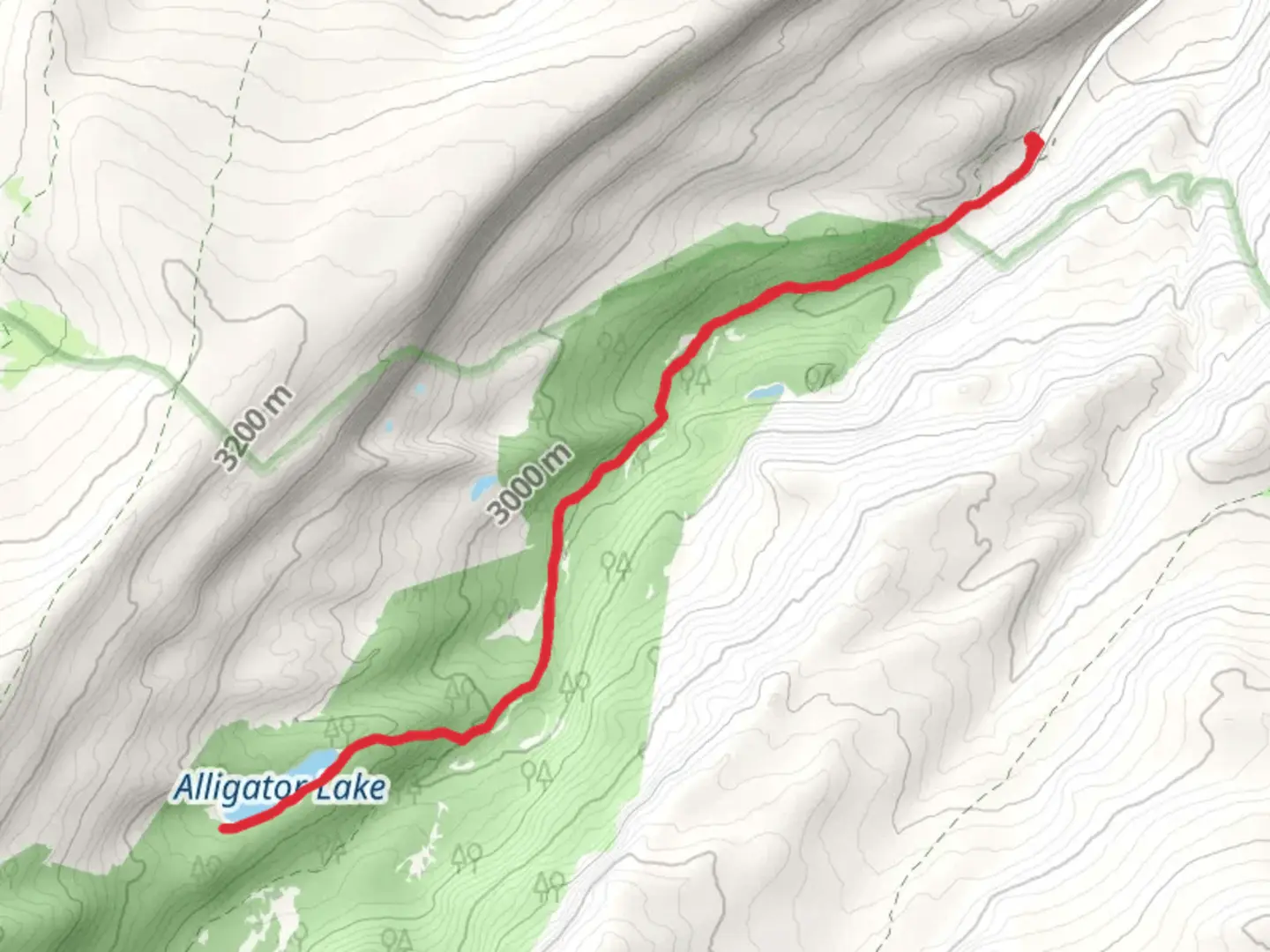
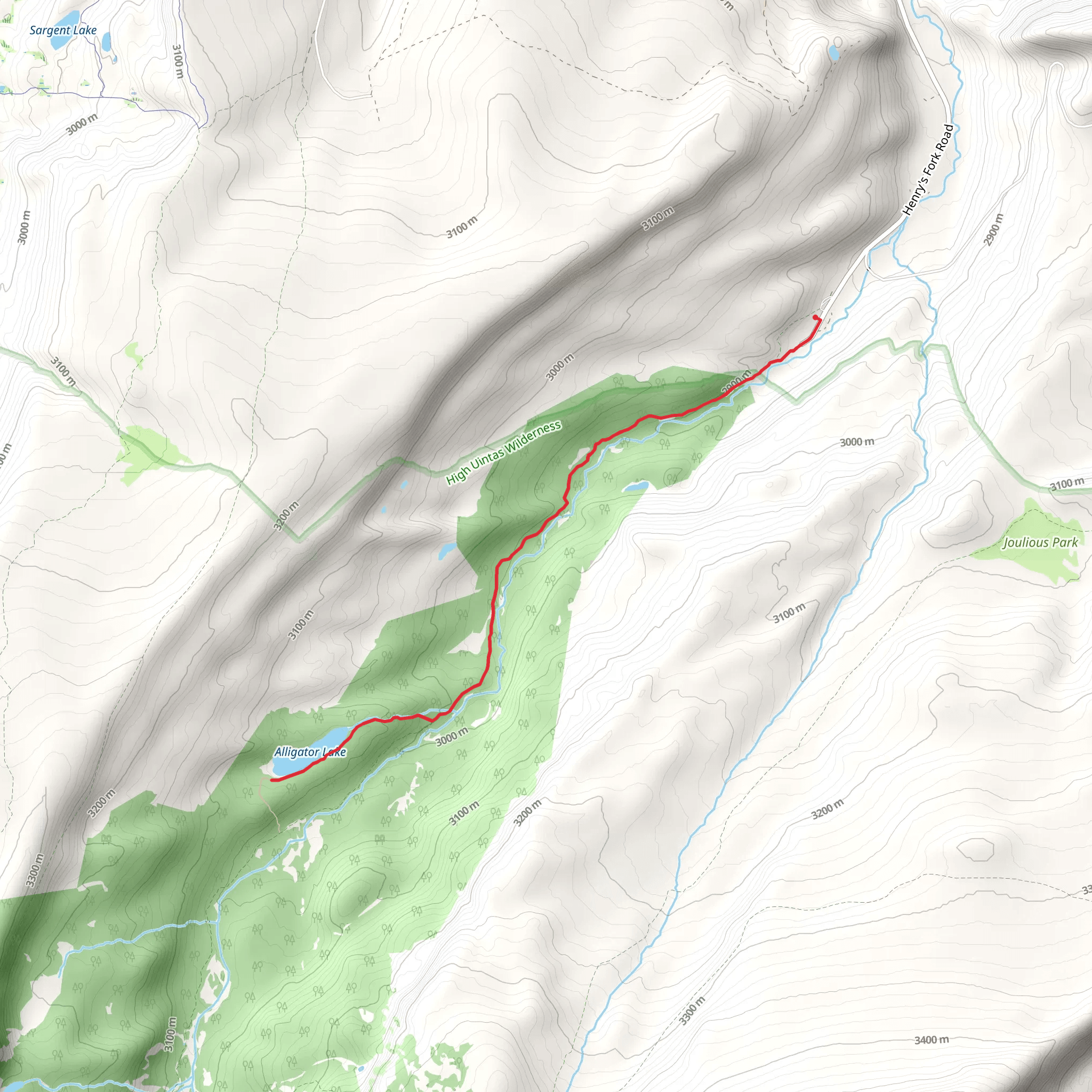
Starting your journey near Summit County, Utah, the Alligator Lake via Henry's Fork Trail offers a captivating 11 km (approximately 6.8 miles) out-and-back adventure. With an elevation gain of around 200 meters (656 feet), this medium-difficulty trail is perfect for those looking to immerse themselves in the natural beauty of the Uinta Mountains.
Getting There To reach the trailhead, you can drive or use public transport. If driving, head towards the Henry's Fork Campground, which is the nearest significant landmark. For those using public transport, the closest major city is Salt Lake City. From there, you can take a bus or shuttle service to Evanston, Wyoming, and then a local taxi or rideshare to the Henry's Fork Campground.
Trail Overview The trail begins at the Henry's Fork Campground, situated at an elevation of approximately 2,438 meters (8,000 feet). As you start your hike, you'll be greeted by a dense forest of lodgepole pines and Engelmann spruce. The first 2 km (1.2 miles) are relatively flat, making for a gentle introduction to the trail.
Significant Landmarks and Nature Around the 3 km (1.9 miles) mark, you'll encounter the first significant landmark: a picturesque meadow that offers stunning views of the surrounding peaks. This is a great spot to take a break and soak in the scenery. As you continue, the trail begins to ascend more steeply, gaining about 100 meters (328 feet) in elevation over the next 2 km (1.2 miles).
At approximately 5 km (3.1 miles), you'll reach a small, serene lake known as Dollar Lake. This is another excellent spot for a rest, and you might even catch a glimpse of local wildlife such as mule deer or moose. The trail then continues through a mix of forest and open meadows, with occasional rocky sections that require careful footing.
Historical Significance The Uinta Mountains, where this trail is located, have a rich history. The area was originally inhabited by the Ute and Shoshone tribes, who used the mountains for hunting and gathering. In the late 19th century, the region saw an influx of settlers and miners, drawn by the promise of gold and other minerals. Today, the Uinta Mountains are a protected area, offering a glimpse into both natural beauty and historical significance.
Final Stretch to Alligator Lake The final 1 km (0.6 miles) to Alligator Lake involves a moderate climb, with an elevation gain of about 50 meters (164 feet). As you approach the lake, the trail becomes more rugged, with rocky outcrops and alpine vegetation. Alligator Lake itself is a pristine alpine lake, surrounded by towering peaks and lush greenery. It's a perfect spot for a picnic or simply to enjoy the tranquility of the wilderness.
Navigation and Safety For navigation, it's highly recommended to use HiiKER, which provides detailed maps and real-time updates. The trail is well-marked, but having a reliable navigation tool can help you stay on track, especially in the more rugged sections.
Wildlife and Flora Keep an eye out for various wildlife species, including black bears, elk, and a variety of bird species. The flora is equally diverse, with wildflowers blooming in the meadows during the summer months. Always practice Leave No Trace principles to preserve the natural beauty of the area.
Return Journey The return journey follows the same path, offering a different perspective on the landscapes you passed earlier. The descent is generally easier, but still requires careful footing, especially in rocky sections.
This trail offers a balanced mix of natural beauty, moderate physical challenge, and historical context, making it a rewarding experience for any hiker.
What to expect?
Activity types
Comments and Reviews
User comments, reviews and discussions about the Alligator Lake via Henry's Fork Trail, Utah.
4.36
average rating out of 5
22 rating(s)
