Download
Preview
Add to list
More
13.1 km
~4 hrs 2 min
845 m
Out and Back
“Discover scenic beauty, wildlife, and history on the rewarding 13 km Abes Lake via Middle Fork Weber River Trail.”
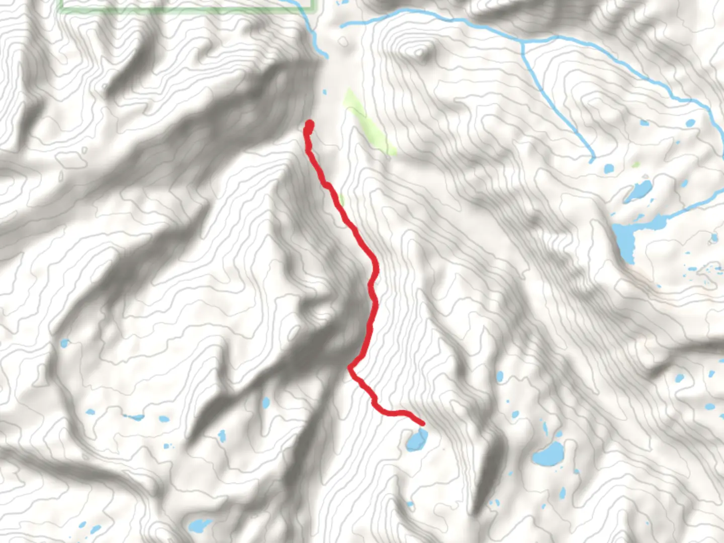
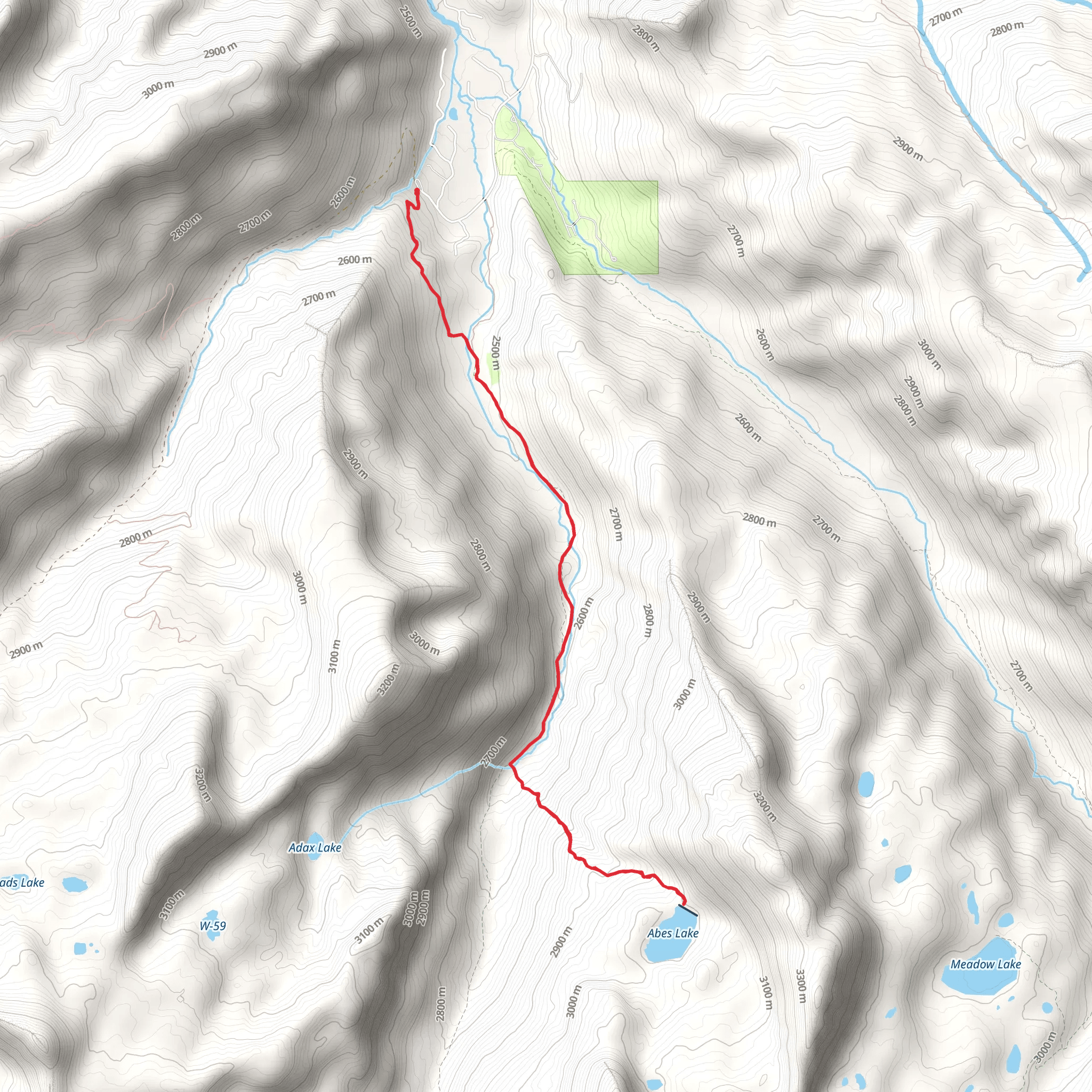
Starting near Summit County, Utah, the Abes Lake via Middle Fork Weber River Trail is an out-and-back trail that spans approximately 13 kilometers (8 miles) with an elevation gain of around 800 meters (2,625 feet). This medium-difficulty trail offers a mix of scenic beauty, historical significance, and diverse wildlife, making it a rewarding experience for hikers.### Getting There To reach the trailhead, you can drive or use public transport. If driving, head towards the nearest known address, which is the Smith and Morehouse Reservoir. From there, follow the signs to the Middle Fork Weber River Trailhead. For those using public transport, the nearest major city is Salt Lake City. From Salt Lake City, you can take a bus or shuttle service to Kamas, Utah, and then arrange for a local taxi or rideshare to the trailhead.### Trail Overview The trail begins at the Middle Fork Weber River Trailhead, located near the Smith and Morehouse Reservoir. The initial section of the trail is relatively flat and follows the Middle Fork of the Weber River. This part of the trail is shaded by a canopy of aspen and pine trees, providing a cool and serene start to your hike.### Significant Landmarks and Elevation At approximately 3 kilometers (1.9 miles) into the hike, you will encounter a small wooden bridge that crosses the river. This is a great spot to take a short break and enjoy the sound of the flowing water. As you continue, the trail starts to ascend more steeply, gaining elevation as you approach the 5-kilometer (3.1 miles) mark. Here, you will notice the vegetation changing, with more open meadows and fewer trees.### Wildlife and Nature The trail is home to a variety of wildlife, including deer, elk, and occasionally black bears. Birdwatchers will also find plenty to enjoy, with species such as the mountain bluebird and the American dipper frequently spotted along the river. Keep an eye out for wildflowers in the meadows, especially during the late spring and early summer months.### Historical Significance The area around the Middle Fork Weber River has a rich history. It was originally inhabited by the Ute Native American tribe, and later became a significant route for early settlers and trappers in the 19th century. Remnants of old cabins and mining equipment can sometimes be seen off the main trail, offering a glimpse into the past.### Final Ascent to Abes Lake The final push to Abes Lake is the most challenging part of the hike. At around 8 kilometers (5 miles) in, the trail becomes steeper and rockier. The elevation gain is more pronounced here, and you will need to navigate some switchbacks. However, the effort is well worth it. As you reach the 10-kilometer (6.2 miles) mark, you will be rewarded with stunning views of Abes Lake, nestled in a high alpine basin surrounded by rugged peaks.### Navigation and Safety Given the trail's moderate difficulty and varying terrain, it's advisable to use a reliable navigation tool like HiiKER to stay on track. Make sure to carry enough water, snacks, and a first aid kit. Weather can change rapidly in this region, so pack layers and be prepared for sudden temperature drops, especially at higher elevations.### Return Journey After enjoying the serene beauty of Abes Lake, retrace your steps back to the trailhead. The descent will be easier on the legs, but take care on the steeper sections to avoid slipping. The entire hike typically takes around 6-8 hours, depending on your pace and the time spent at Abes Lake.This trail offers a perfect blend of natural beauty, wildlife, and historical intrigue, making it a must-visit for any hiking enthusiast.
What to expect?
Activity types
Comments and Reviews
User comments, reviews and discussions about the Abes Lake via Middle Fork Weber River Trail, Utah.
4.5
average rating out of 5
20 rating(s)
