Download
Preview
Add to list
More
11.9 km
~3 hrs 19 min
568 m
Out and Back
“Embark on the Nevills Arch Trail for a 12-kilometer adventure through diverse landscapes and historical wonders.”
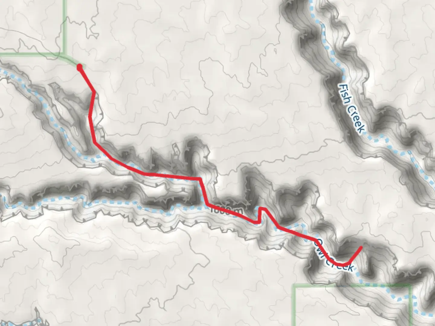
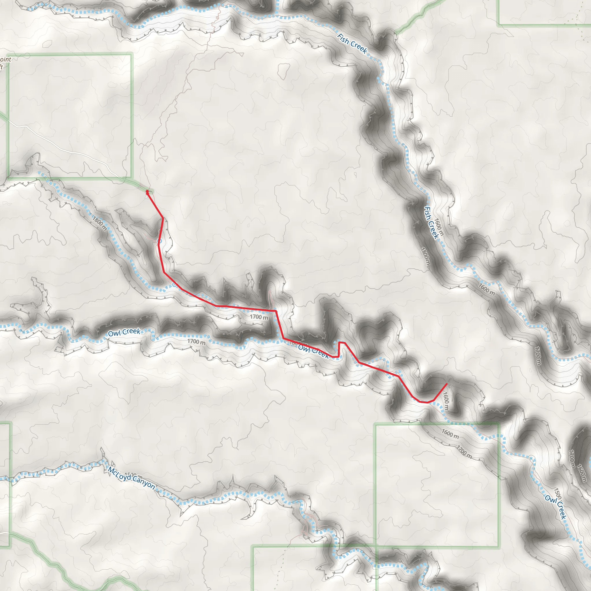
Starting near San Juan County, Utah, the Nevills Arch Trail is an out-and-back trail that spans approximately 12 kilometers (around 7.5 miles) with an elevation gain of about 500 meters (1,640 feet). This trail is rated as medium difficulty, making it suitable for hikers with some experience.
Getting There To reach the trailhead, you can drive or use public transportation. If driving, head towards the nearest significant landmark, which is the town of Bluff, Utah. From Bluff, take US-191 North for about 20 miles until you reach the turnoff for County Road 262. Follow this road for approximately 10 miles to reach the trailhead. Public transport options are limited, so renting a car is advisable for convenience.
Trail Overview The Nevills Arch Trail offers a unique blend of natural beauty and historical significance. The trailhead starts in a relatively flat area, gradually ascending through a series of switchbacks. The initial 2 kilometers (1.2 miles) are relatively easy, with a gentle incline and well-marked paths.
Significant Landmarks and Nature As you progress, you'll encounter a variety of landscapes, from arid desert terrain to lush, green valleys. Around the 3-kilometer (1.9-mile) mark, you'll come across a small creek, which is a good spot to refill your water bottles if you have a filtration system. The trail then begins to climb more steeply, gaining about 200 meters (656 feet) in elevation over the next 2 kilometers (1.2 miles).
Wildlife and Flora The area is home to a variety of wildlife, including mule deer, coyotes, and a range of bird species such as hawks and eagles. Keep an eye out for the unique flora as well, including sagebrush, juniper, and various types of cacti.
Historical Significance The region around Nevills Arch has a rich history. Named after Norman Nevills, a pioneering river runner who explored the San Juan River in the 1930s, the arch itself is a natural sandstone formation that stands as a testament to the geological history of the area. The trail offers several viewpoints where you can see ancient petroglyphs and ruins from Native American tribes who once inhabited the region.
Final Stretch The final 2 kilometers (1.2 miles) to Nevills Arch are the most challenging, with a steep ascent that requires careful footing. The elevation gain in this section is around 150 meters (492 feet). Once you reach the arch, you'll be rewarded with breathtaking views of the surrounding canyons and valleys. This is a great spot to take a break, have a snack, and enjoy the scenery before heading back the way you came.
Navigation and Safety Given the trail's moderate difficulty and varying terrain, it's advisable to use a reliable navigation tool like HiiKER to keep track of your progress and ensure you stay on the correct path. Always carry plenty of water, wear sturdy hiking boots, and be prepared for sudden weather changes, as the region can experience rapid shifts in temperature and conditions.
By following these guidelines and being well-prepared, you'll have a rewarding and memorable experience on the Nevills Arch Trail.
What to expect?
Activity types
Comments and Reviews
User comments, reviews and discussions about the Nevills Arch Trail, Utah.
4.53
average rating out of 5
17 rating(s)
