Download
Preview
Add to list
More
10.8 km
~3 hrs 46 min
973 m
Loop
“Embark on the Peruvian Gulch Loop for breathtaking views, rich history, and diverse landscapes near Salt Lake City.”
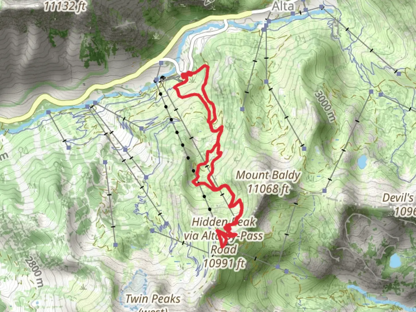
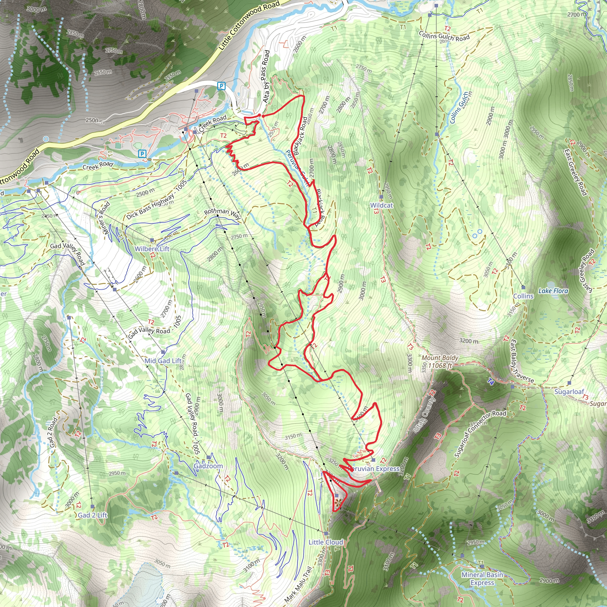
Starting your adventure near Salt Lake County, Utah, the Peruvian Gulch Loop Trail offers a captivating journey through diverse landscapes and significant elevation changes. This 11 km (approximately 6.8 miles) loop trail begins at the Snowbird Center, a well-known landmark that serves as the trailhead. ### Getting There To reach the Snowbird Center, you can drive or use public transportation. If driving, take I-215 to Exit 6 for 6200 S/Cottonwood Heights. Follow UT-190 E/Big Cottonwood Canyon Road and UT-210 S/Little Cottonwood Canyon Road to Snowbird Center Drive. For public transport, the Utah Transit Authority (UTA) offers bus services that can get you close to the trailhead. Check the UTA website for the latest schedules and routes.### Trail Overview The Peruvian Gulch Loop Trail is rated as medium difficulty, making it suitable for moderately experienced hikers. The trail covers an elevation gain of around 900 meters (approximately 2,950 feet), so be prepared for some steep sections. ### Key Sections and Landmarks - Initial Ascent: The first part of the trail involves a steady climb through dense forest. You'll gain about 300 meters (984 feet) in the first 2 km (1.2 miles). This section is shaded and offers a cool respite during hot summer days. - Midway Point: Around the 5 km (3.1 miles) mark, you'll reach the Peruvian Gulch, a stunning open area with panoramic views of the surrounding peaks. This is a great spot to take a break and enjoy the scenery. - Summit Ridge: Continuing on, the trail ascends another 400 meters (1,312 feet) over the next 3 km (1.9 miles). This section is more exposed, so bring sun protection. The ridge offers breathtaking views of the Wasatch Range and the Salt Lake Valley. - Descent: The final 3 km (1.9 miles) involve a gradual descent back to the Snowbird Center. This part of the trail winds through alpine meadows and offers opportunities to spot local wildlife, including deer and various bird species.### Historical Significance The area around the Peruvian Gulch Loop Trail has a rich mining history. In the late 19th and early 20th centuries, the region was bustling with mining activity, particularly for silver. Remnants of old mining equipment and structures can still be seen along the trail, adding a historical dimension to your hike.### Navigation and Safety Given the elevation changes and varying terrain, it's advisable to use a reliable navigation tool like HiiKER to stay on track. The trail is well-marked, but weather conditions can change rapidly, especially at higher elevations. Always check the weather forecast before heading out and carry sufficient water, snacks, and layers of clothing.### Flora and Fauna The trail offers a diverse range of flora, from dense pine forests in the lower sections to alpine meadows filled with wildflowers at higher elevations. Wildlife is abundant, so keep an eye out for deer, marmots, and a variety of bird species. ### Final Tips - Best Time to Hike: Late spring to early fall is the best time to hike this trail. Snow can linger on higher sections well into June. - Gear: Sturdy hiking boots, trekking poles, and a good quality daypack are recommended. - Permits: No permits are required for this trail, but always check for any local advisories or restrictions.Embark on this trail prepared, and you'll be rewarded with stunning views, historical insights, and a memorable hiking experience.
What to expect?
Activity types
Comments and Reviews
User comments, reviews and discussions about the Peruvian Gulch Loop Trail, Utah.
4.55
average rating out of 5
22 rating(s)
