Download
Preview
Add to list
More
11.0 km
~4 hrs 24 min
1327 m
Out and Back
“The Mount Olympus Trail offers breathtaking views, diverse wildlife, and a challenging climb for seasoned hikers.”
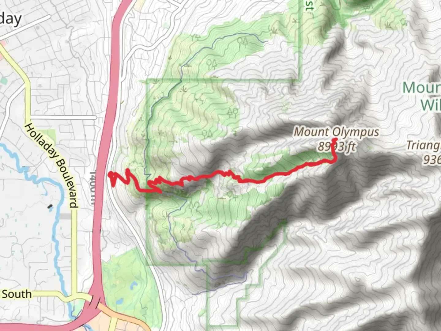
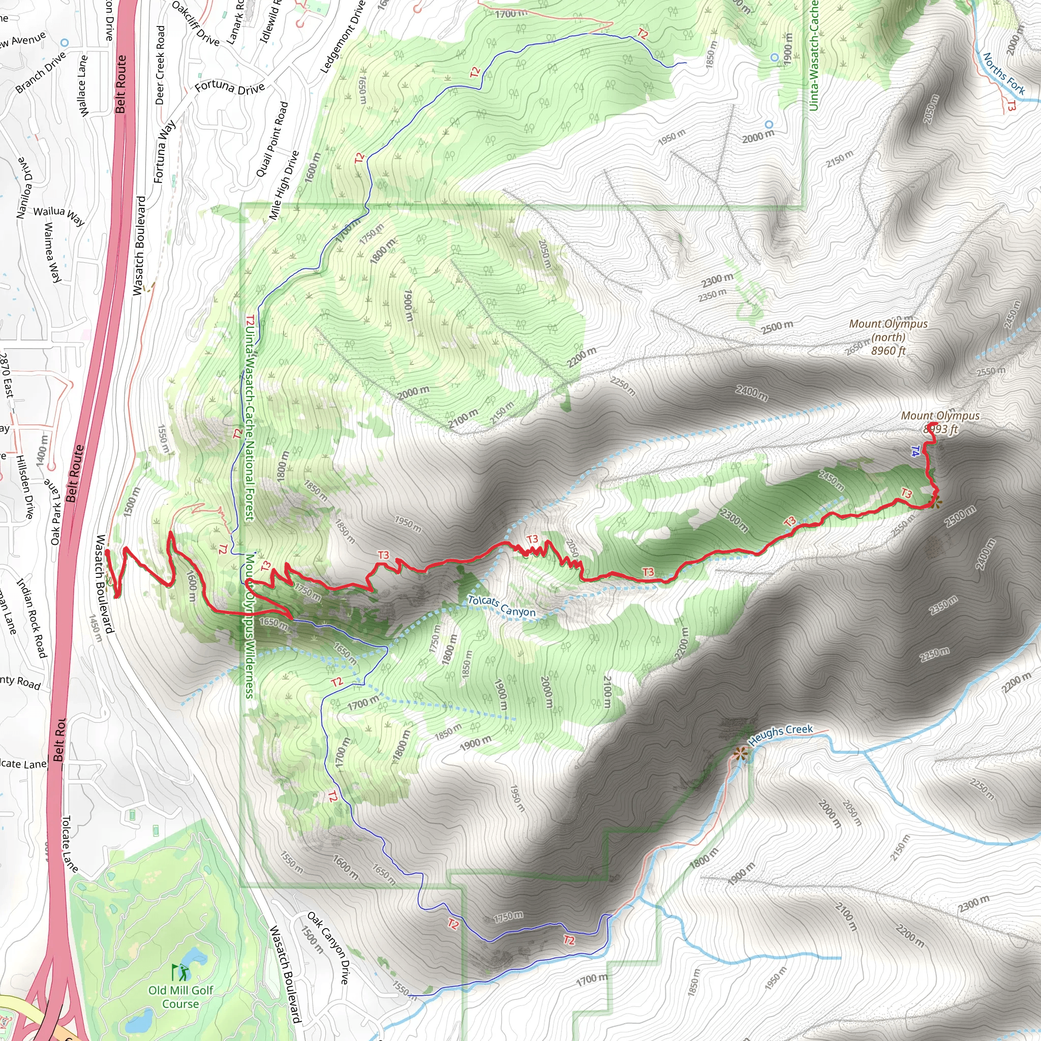
Starting your adventure near Salt Lake County, Utah, the Mount Olympus Trail is an 11 km (approximately 6.8 miles) out-and-back hike with an elevation gain of around 1300 meters (4265 feet). This trail is rated as medium difficulty, making it suitable for hikers with some experience and a good level of fitness.
Getting There To reach the trailhead, you can drive or use public transportation. If driving, head towards the Mount Olympus Trailhead located near 5789 Wasatch Blvd, Holladay, UT 84121. There is a parking area available, but it can fill up quickly, especially on weekends. For those using public transport, the Utah Transit Authority (UTA) offers bus services that can get you close to the trailhead. Check the UTA website for the latest schedules and routes.
Trail Overview The trail begins with a steady incline through a series of switchbacks, offering a good warm-up for the more strenuous sections ahead. Early on, you'll be surrounded by scrub oak and other native vegetation. As you ascend, the trail becomes rockier and steeper, requiring careful footing.
Significant Landmarks At around 2 km (1.2 miles) into the hike, you'll encounter a large rock outcropping known as "Blister Hill." This section is particularly steep and can be challenging, but it offers stunning views of the Salt Lake Valley below. Continuing on, you'll pass through a series of meadows and groves of aspen trees, which are especially beautiful in the fall.
Wildlife and Nature The Mount Olympus Trail is home to a variety of wildlife, including mule deer, mountain goats, and various bird species. Keep an eye out for golden eagles soaring above and listen for the distinctive calls of the canyon wren. The flora changes with elevation, transitioning from scrub oak and sagebrush at lower elevations to pine and fir trees as you climb higher.
Historical Significance Mount Olympus holds cultural and historical significance for the local Indigenous tribes, including the Ute and Shoshone peoples. The mountain has been a landmark for centuries, guiding travelers and serving as a spiritual site. The name "Mount Olympus" was given by early Mormon settlers, inspired by the mountain's grandeur and its resemblance to the mythical home of the Greek gods.
Final Ascent The final push to the summit is the most challenging part of the hike. The trail becomes a scramble over large boulders and loose rocks. This section requires both hands and feet, so be prepared for a bit of climbing. The summit, at an elevation of 2,963 meters (9,751 feet), offers panoramic views of the Wasatch Range and the Salt Lake Valley. On a clear day, you can see as far as the Great Salt Lake.
Navigation Given the trail's complexity, it's advisable to use a reliable navigation tool like HiiKER to keep track of your progress and ensure you stay on the correct path. The app provides detailed maps and real-time updates, which can be invaluable, especially in the more challenging sections.
Descent The descent follows the same path back to the trailhead. While it may be quicker, it can be just as demanding on your knees and legs, so take your time and use trekking poles if you have them.
Prepare well, bring plenty of water, and enjoy the breathtaking beauty and rich history of the Mount Olympus Trail.
What to expect?
Activity types
Comments and Reviews
User comments, reviews and discussions about the Mount Olympus Trail, Utah.
4.67
average rating out of 5
18 rating(s)
