Download
Preview
Add to list
More
3.0 km
~1 hrs 11 min
347 m
Out and Back
“Experience the rewarding vistas and rich history of Lone Rock Trail, a moderately challenging 3 km hike.”
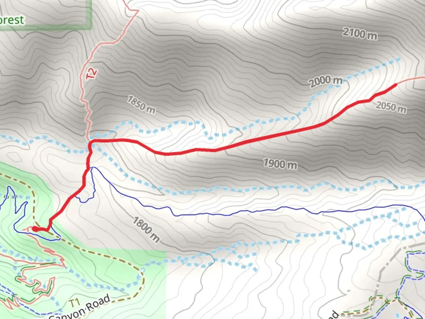
Starting near Salt Lake County, Utah, the Lone Rock Trail Out and Back is a moderately challenging hike that spans approximately 3 kilometers (1.86 miles) with an elevation gain of around 300 meters (984 feet). This trail offers a rewarding experience for those looking to immerse themselves in the natural beauty of the region.
Getting There
To reach the trailhead, you can drive or use public transportation. If driving, head towards the nearest significant landmark, which is the Lone Rock Campground. From Salt Lake City, take I-15 South and exit at 295 for UT-73 West. Continue on UT-73 West until you reach the campground. For those using public transport, take the UTA bus service to the nearest stop at Eagle Mountain, then arrange for a taxi or rideshare to the campground.
Trail Overview
The trail begins at the Lone Rock Campground, a well-known starting point for many local hikes. As you set off, you'll notice the terrain is initially quite gentle, making it accessible for hikers of varying skill levels. The path is well-marked, but it's always a good idea to have the HiiKER app for navigation.
Key Landmarks and Nature
About 0.5 kilometers (0.31 miles) into the hike, you'll encounter a small creek, which is a great spot for a quick rest or photo opportunity. The trail then starts to ascend more steeply, and you'll gain approximately 150 meters (492 feet) in elevation over the next kilometer (0.62 miles). This section can be a bit strenuous, so take your time and enjoy the surrounding flora, which includes juniper and pinyon pine trees.
Wildlife and Scenic Views
As you climb higher, keep an eye out for local wildlife such as mule deer and various bird species, including hawks and eagles. The trail offers several vantage points where you can take in panoramic views of the surrounding valleys and distant mountain ranges.
Historical Significance
The region around Lone Rock has a rich history, with evidence of Native American habitation dating back thousands of years. The rock formations you see along the trail were once used as natural shelters and lookout points. Informational plaques along the route provide insights into the historical and cultural significance of the area.
Final Stretch
The final stretch of the trail involves a steep climb to the summit of Lone Rock. This section is about 0.5 kilometers (0.31 miles) long and gains the remaining 150 meters (492 feet) in elevation. Once at the top, you'll be rewarded with breathtaking views that make the effort worthwhile. This is a perfect spot to take a break, have a snack, and soak in the scenery before heading back the way you came.
Tips for Hikers
Given the moderate difficulty of the trail, it's advisable to wear sturdy hiking boots and bring plenty of water, especially during the warmer months. The trail can be rocky and uneven in places, so trekking poles might be helpful for added stability. Always check the weather forecast before heading out and be prepared for sudden changes in conditions.
By following these guidelines and being well-prepared, you'll have a safe and enjoyable hike on the Lone Rock Trail Out and Back.

What to expect?
Activity types
Comments and Reviews
User comments, reviews and discussions about the Lone Rock Trail Out and Back, Utah.
4.25
average rating out of 5
20 rating(s)