Download
Preview
Add to list
More
7.4 km
~2 hrs 42 min
732 m
Loop
“Embark on the Jacks Peak Loop Trail for a scenic, challenging hike with rich history and breathtaking views.”
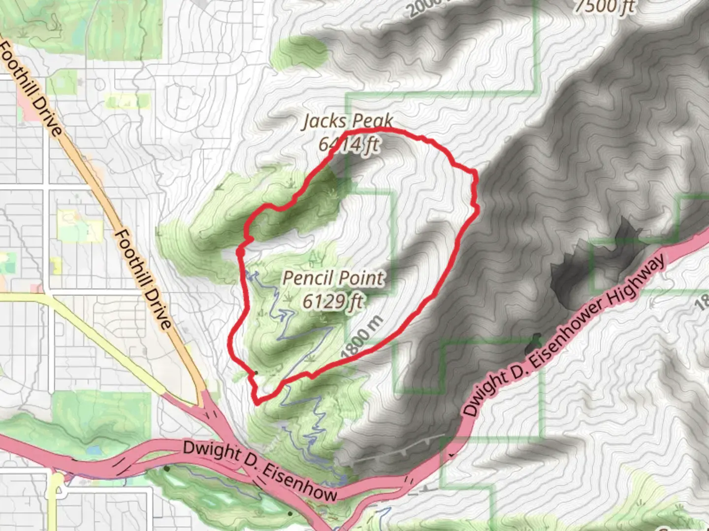
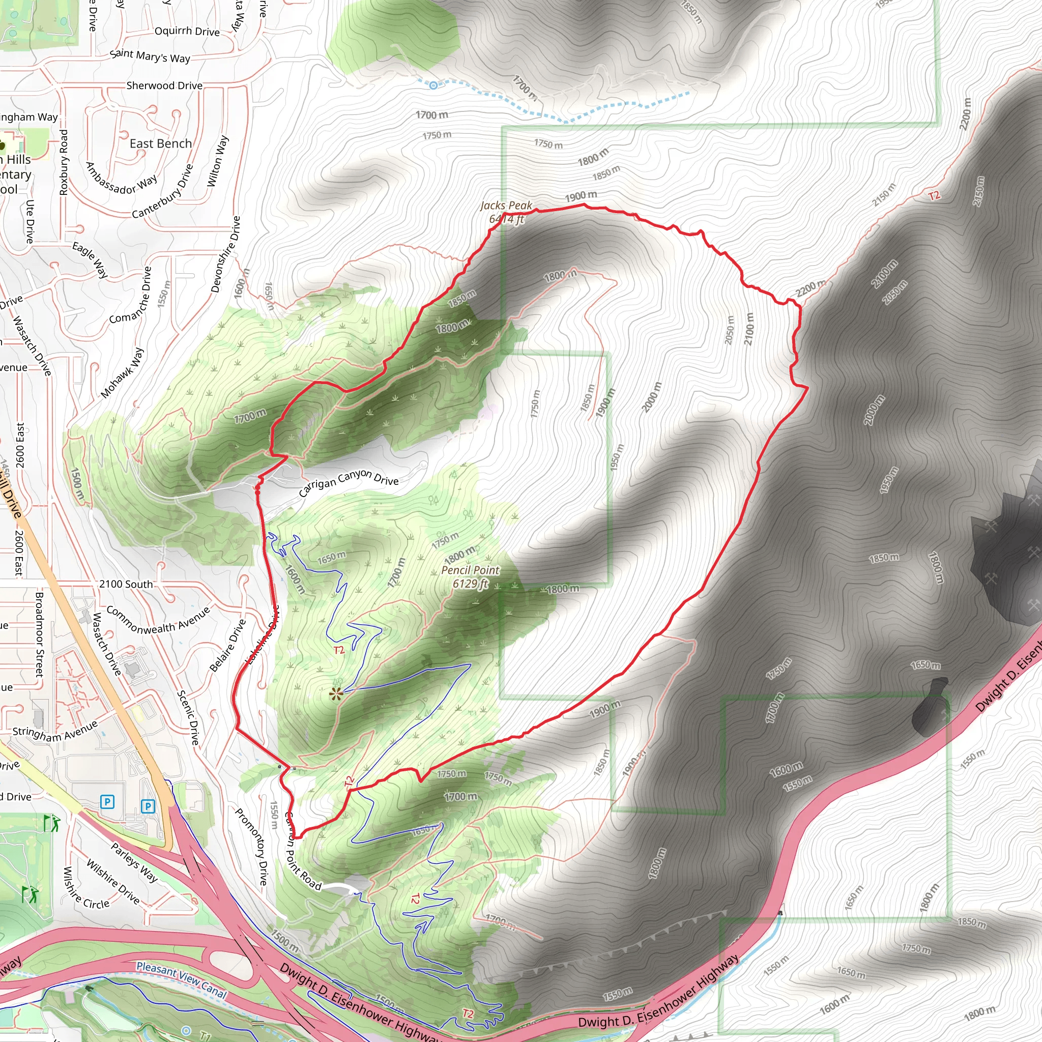
Starting your adventure near Salt Lake County, Utah, the Jacks Peak Loop Trail offers a moderately challenging 7 km (4.3 miles) hike with an elevation gain of approximately 700 meters (2,300 feet). The trailhead is conveniently located near the popular Millcreek Canyon, making it accessible for both locals and visitors.### Getting There To reach the trailhead, you can drive or use public transportation. If driving, head towards Millcreek Canyon Road, which is easily accessible from Salt Lake City. The nearest significant landmark is the Millcreek Inn, located at 5802 Millcreek Canyon Rd, Salt Lake City, UT 84109. From there, continue up the canyon until you reach the designated parking area for the Jacks Peak Loop Trail. For those using public transport, take the UTA bus route that services the Millcreek area and get off at the Millcreek Canyon stop. From there, you may need to arrange a short taxi or rideshare to the trailhead.### Trail Overview The Jacks Peak Loop Trail is a well-marked path that takes you through diverse landscapes, including dense forests, open meadows, and rocky outcrops. The trail is a loop, so you'll start and end at the same point, making logistics simpler.### Key Landmarks and Sections - Initial Ascent (0-2 km / 0-1.2 miles): The first part of the trail involves a steady climb through a forested area. You'll gain about 200 meters (650 feet) in elevation during this section. Keep an eye out for mule deer and various bird species that inhabit this area.
- Midway Point (2-4 km / 1.2-2.5 miles): As you continue, the trail opens up to a series of meadows. This is a great spot to take a break and enjoy the panoramic views of the Wasatch Range. The elevation gain here is more gradual, adding another 150 meters (500 feet) to your climb.- Summit Push (4-5 km / 2.5-3.1 miles): The final ascent to Jacks Peak is the most challenging part of the hike, with a steep climb that adds the remaining 350 meters (1,150 feet) of elevation. The summit offers breathtaking 360-degree views, including a clear sightline to Salt Lake City and the Great Salt Lake.- Descent and Return (5-7 km / 3.1-4.3 miles): The descent follows a different path, looping back through a rocky terrain that eventually transitions back into forest. This section can be slippery, especially after rain, so watch your footing.### Historical Significance The area around Jacks Peak has a rich history, dating back to the early settlers of Utah. Millcreek Canyon itself was a vital resource for timber and water for the pioneers. The trail also passes near several old mining sites, remnants of the 19th-century mining boom that brought many settlers to the region.### Navigation and Safety For navigation, it's highly recommended to use the HiiKER app, which provides detailed maps and real-time GPS tracking to ensure you stay on the correct path. The trail is generally well-marked, but having a reliable navigation tool is always a good idea.### Flora and Fauna The trail is home to a variety of plant and animal life. In the spring and summer, wildflowers such as lupine and Indian paintbrush are abundant. Wildlife sightings may include mule deer, elk, and a variety of bird species, including hawks and eagles.### Preparation Tips Given the elevation gain and the varying terrain, it's important to wear sturdy hiking boots and bring plenty of water. Weather can change rapidly in the mountains, so pack layers and be prepared for sudden temperature drops, especially near the summit.Embarking on the Jacks Peak Loop Trail offers a rewarding experience filled with natural beauty, historical intrigue, and a good physical challenge.
What to expect?
Activity types
Comments and Reviews
User comments, reviews and discussions about the Jacks Peak Loop Trail, Utah.
4.59
average rating out of 5
17 rating(s)
