Download
Preview
Add to list
More
5.2 km
~1 hrs 57 min
555 m
Loop
“Cardiff Pass and Mount Superior Trail offer a challenging hike with stunning views and historical intrigue.”
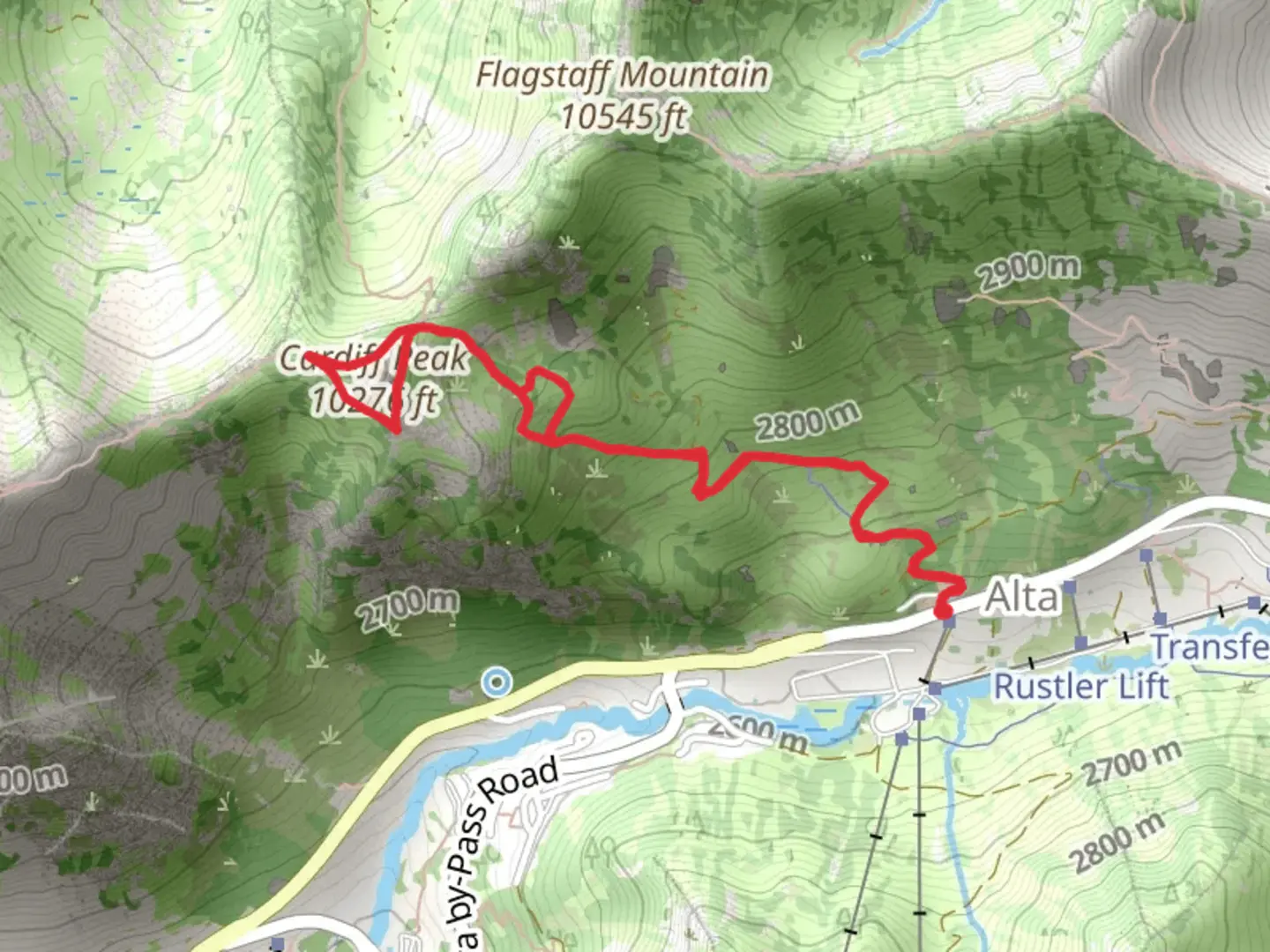
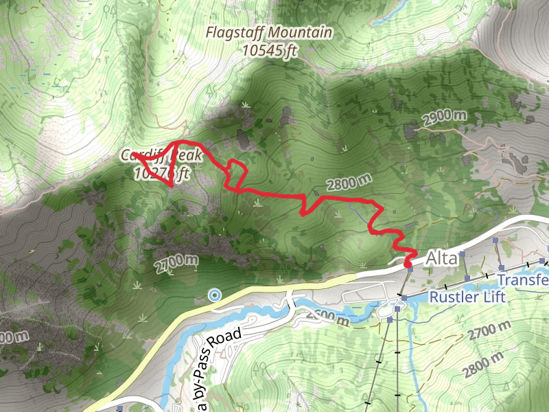
Starting near Salt Lake County, Utah, the Cardiff Pass Trail and Mount Superior Trail offer a challenging yet rewarding hiking experience. The trailhead is conveniently located near the Alta Ski Area, making it accessible by car or public transport. If you're driving, you can park at the Alta Ski Area parking lot. For those using public transport, the Utah Transit Authority (UTA) offers bus services that can drop you off near the trailhead.
Trail Overview
The trail spans approximately 5 kilometers (3.1 miles) with an elevation gain of around 500 meters (1,640 feet). This loop trail is rated as medium difficulty, making it suitable for hikers with some experience. The trail is well-marked, but it's always a good idea to have a reliable navigation tool like HiiKER to ensure you stay on course.
Initial Ascent
The hike begins with a steady ascent through a forested area, offering shade and a cool environment, especially in the summer months. The first kilometer (0.6 miles) involves an elevation gain of about 150 meters (492 feet), so be prepared for a bit of a workout right from the start. As you climb, you'll notice the flora transitioning from dense forest to more alpine vegetation.
Cardiff Pass
At approximately 2 kilometers (1.2 miles) into the hike, you'll reach Cardiff Pass. This is a great spot to take a break and enjoy panoramic views of the surrounding mountains and valleys. The pass itself has historical significance, as it was once a route used by miners during the silver mining boom in the late 19th century. You might even spot remnants of old mining equipment along the way.
Mount Superior Ascent
From Cardiff Pass, the trail becomes steeper as you make your way towards Mount Superior. The next 1.5 kilometers (0.9 miles) involve an elevation gain of about 250 meters (820 feet). This section is more exposed, so make sure to wear sunscreen and stay hydrated. The rocky terrain can be challenging, so good hiking boots are essential.
Summit Views
Reaching the summit of Mount Superior is the highlight of this trail. At an elevation of approximately 3,353 meters (11,000 feet), you'll be rewarded with breathtaking 360-degree views of the Wasatch Range and the Salt Lake Valley. On clear days, you can see as far as the Great Salt Lake. This is a perfect spot for photos and a well-deserved rest.
Descent and Loop Completion
The descent begins as you loop back towards the trailhead. This section is less steep but still requires careful footing due to loose rocks. The final 1.5 kilometers (0.9 miles) will take you through alpine meadows, where you might spot local wildlife such as mule deer, marmots, and various bird species. The wildflowers in this area are particularly stunning during late spring and early summer.
Practical Information
- Water: There are no water sources along the trail, so bring at least 2 liters (0.5 gallons) per person. - Weather: The weather can change rapidly in the mountains, so pack layers and be prepared for sudden temperature drops. - Wildlife: Be aware of local wildlife and practice Leave No Trace principles to keep the area pristine. - Navigation: Use HiiKER for real-time navigation and trail updates.
This trail offers a mix of natural beauty, historical significance, and physical challenge, making it a must-do for any hiking enthusiast visiting the Salt Lake County area.
What to expect?
Activity types
Comments and Reviews
User comments, reviews and discussions about the Cardiff Pass Trail and Mount Superior Trail, Utah.
4.43
average rating out of 5
14 rating(s)
