Download
Preview
Add to list
More
11.9 km
~4 hrs 7 min
1056 m
Out and Back
“The Notch Peak Trail near Millard County, Utah, offers stunning vistas and a moderately challenging adventure.”
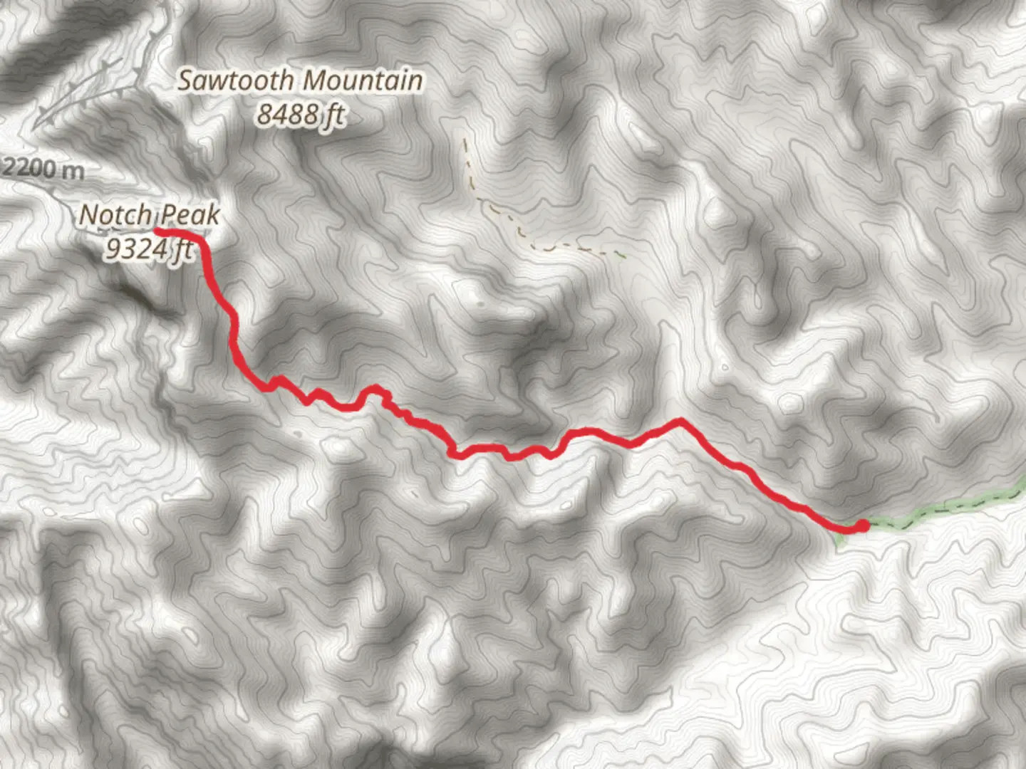
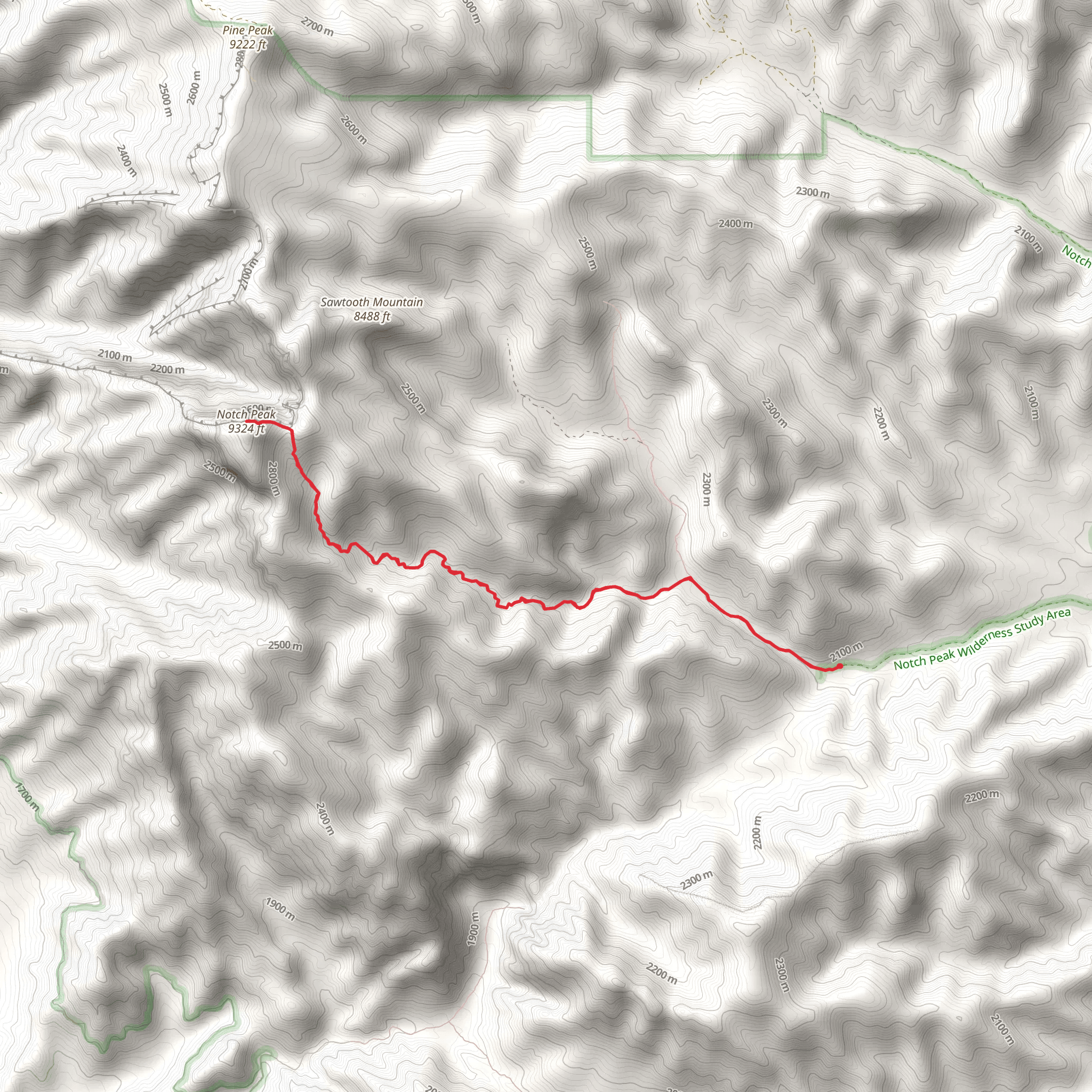
The Notch Peak Trail is a captivating adventure located near Millard County, Utah. This out-and-back trail spans approximately 12 km (7.5 miles) with an elevation gain of around 1000 meters (3280 feet), making it a moderately challenging hike suitable for those with a decent level of fitness.
Getting There To reach the trailhead, you can drive to the nearest significant landmark, which is the town of Delta, Utah. From Delta, head west on US-50 for about 64 km (40 miles) until you reach the turnoff for Notch Peak. Public transport options are limited in this remote area, so driving is the most practical way to get there. Ensure your vehicle is well-prepared for the journey, as the final stretch involves navigating some unpaved roads.
Trail Overview The trailhead is located at the end of a dirt road near the House Range. The hike begins with a gradual ascent through a desert landscape, characterized by sagebrush and juniper trees. As you progress, the trail becomes steeper and more rugged, requiring careful footing.
Significant Landmarks and Nature At around 3 km (1.9 miles) into the hike, you'll encounter a small creek, which is a good spot to take a short break and refill your water bottles if necessary. The trail then continues to climb, offering increasingly spectacular views of the surrounding valleys and peaks.
One of the most striking features of this hike is the dramatic limestone cliffs that come into view as you approach the summit. These cliffs are part of the House Range and are known for their sheer drop-offs and unique geological formations. Keep an eye out for the diverse array of plant life that thrives in this high desert environment, including various wildflowers in the spring and summer months.
Wildlife The area is home to a variety of wildlife, including mule deer, mountain goats, and a range of bird species such as golden eagles and peregrine falcons. It's not uncommon to spot these majestic birds soaring above the cliffs, especially near the summit.
Historical Significance Notch Peak itself holds historical significance as it was a notable landmark for early settlers and explorers in the region. The peak's distinctive notch, which gives it its name, was used as a navigational aid by pioneers traveling through the area.
Summit and Views The final push to the summit is the most challenging part of the hike, with a steep and rocky ascent. However, the effort is well worth it. At the top, you'll be rewarded with breathtaking panoramic views of the Great Basin Desert and the surrounding mountain ranges. On a clear day, you can see for miles in every direction, making it a perfect spot for photography and quiet reflection.
Navigation Given the remote nature of the trail, it's advisable to use a reliable navigation tool like HiiKER to ensure you stay on the correct path. The trail is well-marked, but having a digital map can provide additional peace of mind.
Preparation Due to the elevation gain and the remote location, it's essential to come well-prepared. Bring plenty of water, high-energy snacks, and wear sturdy hiking boots. Weather conditions can change rapidly, so pack layers and be prepared for both hot sun and cooler temperatures at higher elevations.
The Notch Peak Trail offers a rewarding and memorable hiking experience, combining challenging terrain with stunning natural beauty and historical intrigue.
What to expect?
Activity types
Comments and Reviews
User comments, reviews and discussions about the Notch Peak Trail, Utah.
4.26
average rating out of 5
19 rating(s)
