Download
Preview
Add to list
More
20.7 km
~1 day 0 hrs
701 m
Loop
“Explore Coyote Gulch's iconic arches and rich history on this 21-km moderately challenging loop trail.”
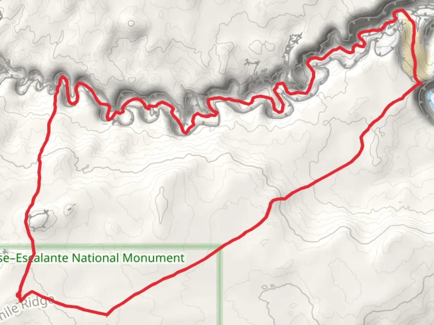
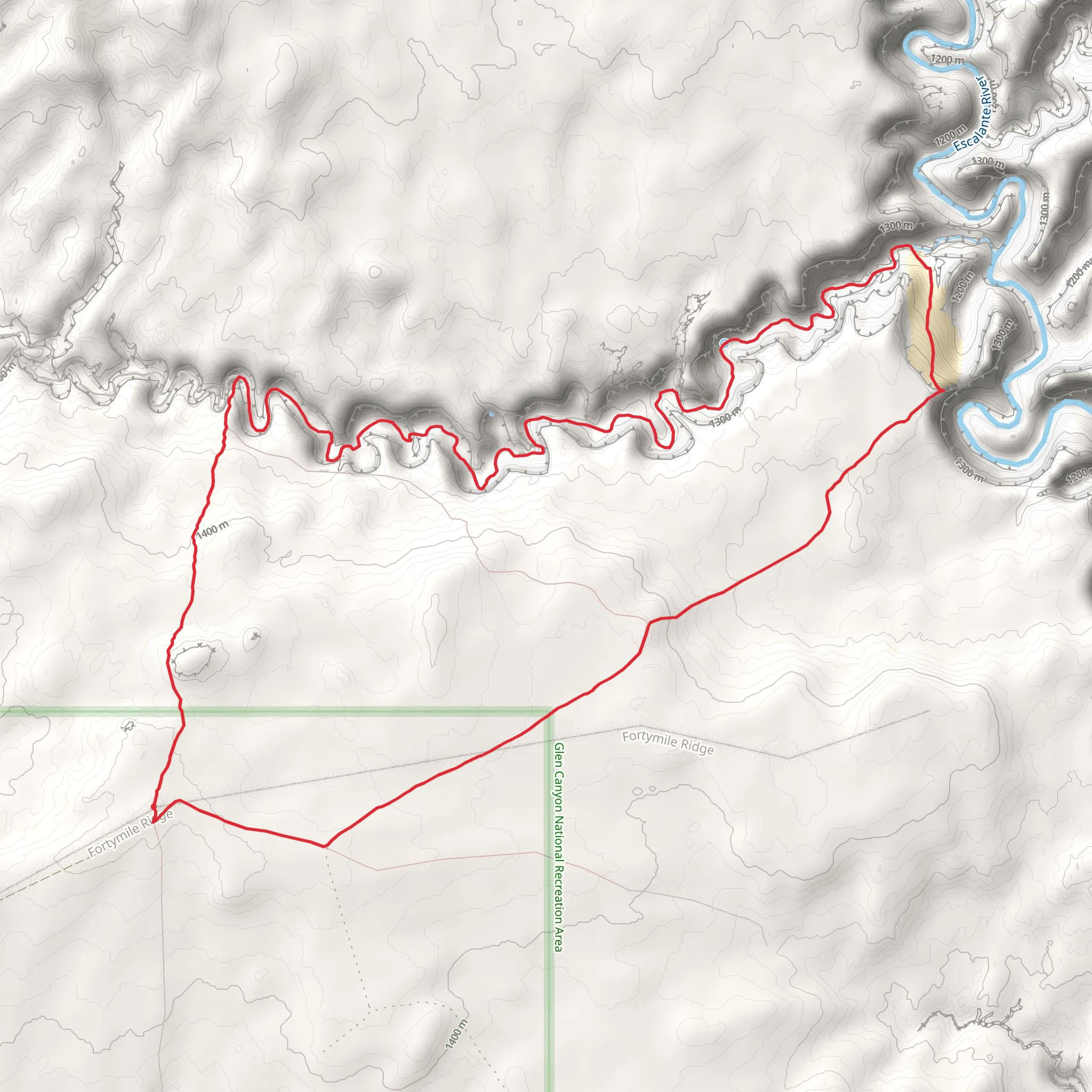
Starting near Kane County, Utah, the Coyote Gulch and Coyote Gulch - Crack in the Wall Trail is a captivating loop trail that spans approximately 21 kilometers (13 miles) with an elevation gain of around 700 meters (2,300 feet). This trail is rated as medium difficulty, making it accessible for moderately experienced hikers.
Getting There To reach the trailhead, you can drive to the vicinity of Escalante, Utah. From Escalante, head southeast on UT-12 E for about 5 miles (8 km) until you reach Hole-in-the-Rock Road. Continue on this dirt road for approximately 36 miles (58 km) until you reach the trailhead parking area. Note that Hole-in-the-Rock Road can be rough and is best navigated with a high-clearance vehicle. Public transport options are limited, so driving is the most reliable way to get there.
Trail Navigation For navigation, it is highly recommended to use HiiKER, which provides detailed maps and real-time GPS tracking to ensure you stay on course. The trail is well-marked but can be challenging to follow in certain sections, especially near the Crack in the Wall.
Key Landmarks and Sections
#### Crack in the Wall One of the most iconic features of this trail is the Crack in the Wall, a narrow passage that requires some scrambling to navigate. This section is located approximately 5 kilometers (3 miles) from the trailhead. Be prepared for a tight squeeze and ensure your backpack can fit through the narrow gap.
#### Coyote Natural Bridge Around 8 kilometers (5 miles) into the hike, you'll encounter the Coyote Natural Bridge, a stunning natural arch formed by years of erosion. This is a great spot for a break and some photography. The bridge stands as a testament to the geological forces that have shaped this region over millennia.
#### Jacob Hamblin Arch At roughly the 10-kilometer (6-mile) mark, you'll come across the Jacob Hamblin Arch, another impressive natural formation. Named after the Mormon pioneer Jacob Hamblin, this arch is one of the most photographed landmarks in the area. The arch is massive and offers a shaded area to rest and enjoy the views.
Flora and Fauna The trail traverses a variety of landscapes, from sandy washes to lush riparian zones. Keep an eye out for native plants like cottonwoods, willows, and various desert shrubs. Wildlife is abundant, with chances to see mule deer, coyotes, and a variety of bird species, including peregrine falcons and canyon wrens.
Water Sources Water is available from the Escalante River and several springs along the trail, but it must be filtered or treated before drinking. Carry enough water for the entire hike, especially during the hotter months when temperatures can soar.
Historical Significance The area around Coyote Gulch is rich in history. It was once inhabited by the Ancestral Puebloans, and you may come across ancient petroglyphs and ruins. The trail also follows parts of the route taken by early Mormon settlers, adding a layer of historical intrigue to your hike.
Final Stretch The loop brings you back to the trailhead after approximately 21 kilometers (13 miles). The final section involves a gradual ascent, offering panoramic views of the surrounding canyons and mesas. Make sure to pace yourself and enjoy the breathtaking scenery as you complete your hike.
This trail offers a mix of natural beauty, historical significance, and moderate physical challenge, making it a must-visit for any avid hiker.
What to expect?
Activity types
Comments and Reviews
User comments, reviews and discussions about the Coyote Gulch and Coyote Gulch - Crack in the Wall Trail, Utah.
4.42
average rating out of 5
12 rating(s)
