Download
Preview
Add to list
More
16.9 km
~4 hrs 14 min
520 m
Out and Back
“Embark on Utah's Lowder Creek Walk for a scenic, history-rich, moderately challenging 17 km adventure.”
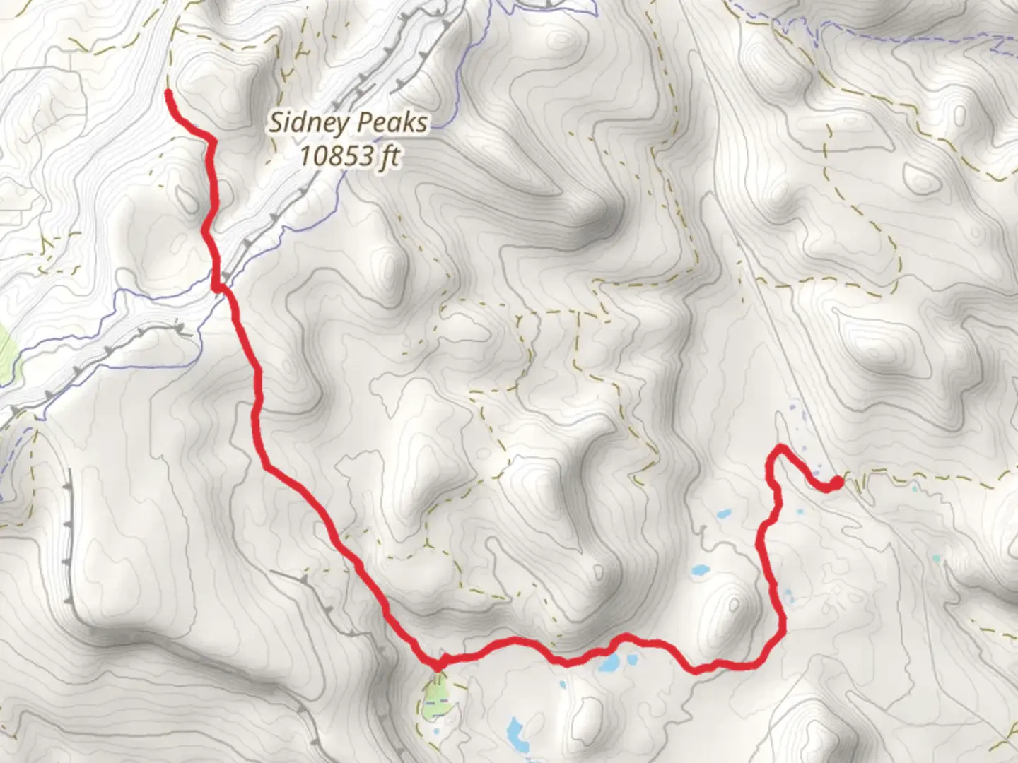
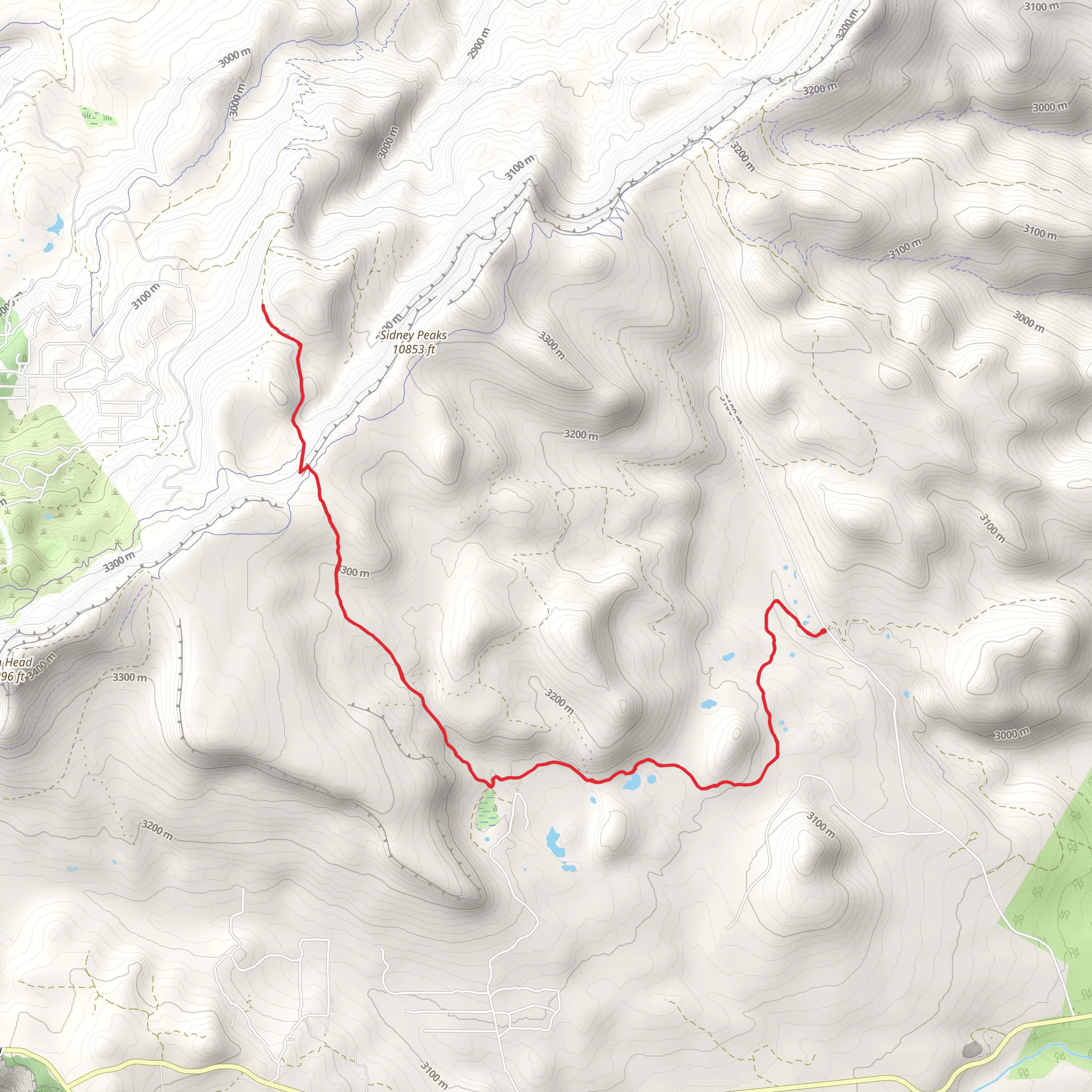
Starting near Iron County, Utah, the Lowder Creek Walk is an invigorating out-and-back trail stretching approximately 17 km (10.5 miles) with an elevation gain of around 500 meters (1,640 feet). This medium-difficulty trail offers a blend of natural beauty, historical significance, and a moderate challenge suitable for most hikers.### Getting There To reach the trailhead, you can drive or use public transportation. If driving, head towards the nearest significant landmark, Cedar City, Utah. From Cedar City, take UT-14 E for about 30 miles until you reach the vicinity of the trailhead. For those using public transport, Cedar City is accessible via bus services from larger cities like Salt Lake City. From Cedar City, you may need to arrange a taxi or rideshare to the trailhead.### Trail Overview The trail begins with a gentle ascent through a mixed forest of pines and aspens, providing ample shade and a cool environment, especially in the summer months. Early on, you'll cross Lowder Creek, a serene waterway that adds a soothing soundtrack to your hike. The first 3 km (1.9 miles) are relatively easy, with an elevation gain of about 100 meters (328 feet), making it a good warm-up for the more challenging sections ahead.### Significant Landmarks and Nature As you progress, the trail becomes steeper, climbing another 200 meters (656 feet) over the next 5 km (3.1 miles). Here, you'll encounter a series of switchbacks that offer stunning views of the surrounding valleys and distant mountain ranges. Keep an eye out for local wildlife, including mule deer, elk, and a variety of bird species such as the Steller's Jay and Mountain Bluebird.### Historical Significance The region around Lowder Creek has a rich history. The trail itself was used by Native American tribes for centuries before European settlers arrived. Evidence of their presence can still be found in the form of petroglyphs and ancient campsites. In the late 19th century, the area saw an influx of settlers and miners, drawn by the promise of precious metals. Remnants of old mining equipment and abandoned cabins can still be spotted along the trail, offering a glimpse into the past.### Final Stretch and Return The final 4 km (2.5 miles) to the turnaround point involve a more gradual ascent, with an additional 200 meters (656 feet) of elevation gain. This section is less forested, providing panoramic views of the surrounding landscape. Upon reaching the highest point of the trail, take a moment to enjoy the breathtaking vistas before beginning your descent.### Navigation and Safety For navigation, it's highly recommended to use the HiiKER app, which provides detailed maps and real-time updates. The trail is well-marked, but having a reliable navigation tool can enhance your hiking experience and ensure you stay on track.### Flora and Fauna Throughout the hike, you'll encounter a diverse range of flora, including wildflowers like Indian Paintbrush and Lupine, especially vibrant in the spring and early summer. The fauna is equally diverse, with opportunities to see smaller mammals like squirrels and chipmunks, as well as larger animals like black bears, so always stay alert and follow safety guidelines.### Preparation Tips Given the moderate difficulty of the trail, it's advisable to bring plenty of water, snacks, and a first-aid kit. Weather can change rapidly in this region, so pack layers and be prepared for sudden shifts in temperature. Good hiking boots are essential due to the varied terrain and elevation changes.Embarking on the Lowder Creek Walk offers a rewarding experience filled with natural beauty, historical intrigue, and a satisfying physical challenge.
What to expect?
Activity types
Comments and Reviews
User comments, reviews and discussions about the Lowder Creek Walk, Utah.
4.5
average rating out of 5
10 rating(s)
