Download
3D Flyover
Add to list
More
1345.3 km
~50 days
18855 m
Multi-Day
“Embark on the Hayduke Trail, a challenging odyssey through the American Southwest's rugged splendor and historical tapestry.”
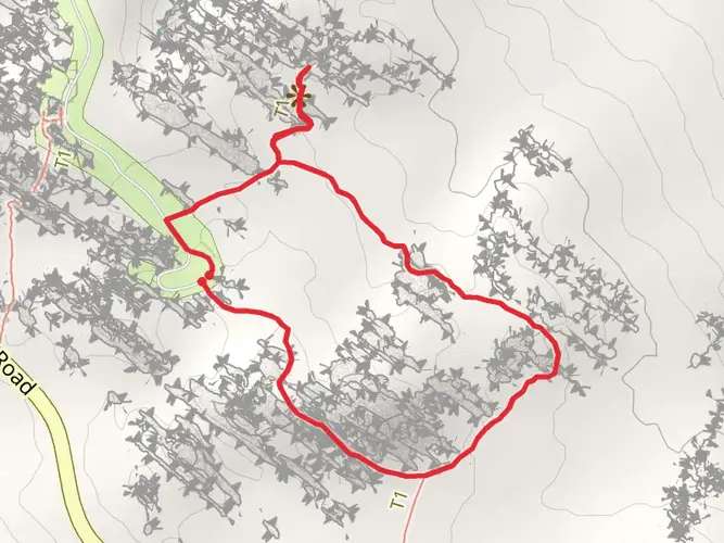
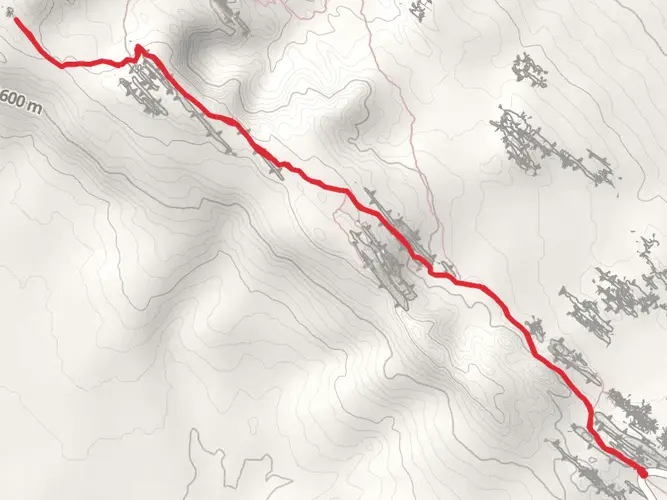
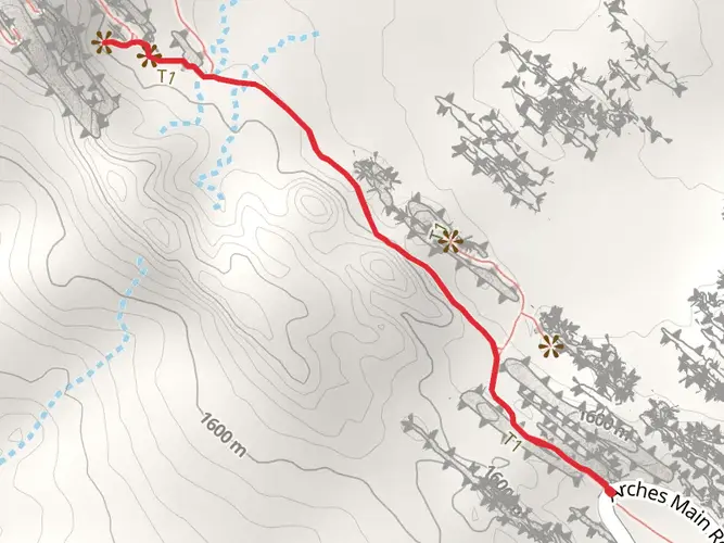
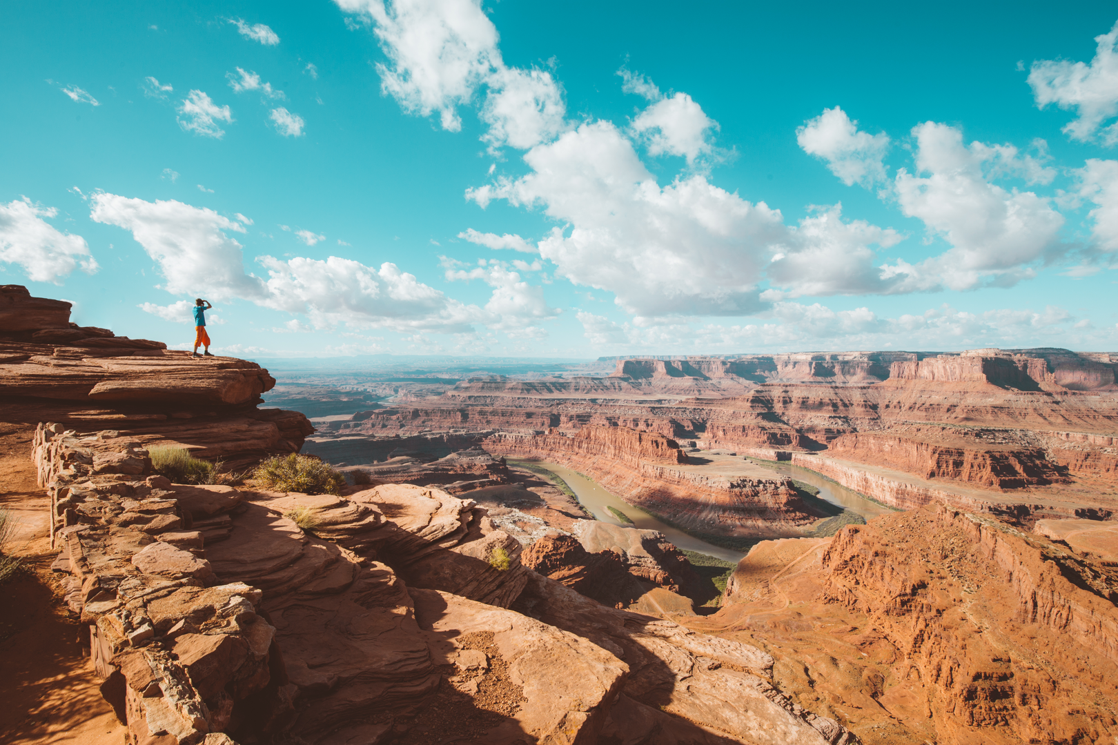
Spanning approximately 1345 kilometers (836 miles) and with an elevation gain of around 18,800 meters (61,680 feet), the Hayduke Trail is an extensive and challenging backcountry route through some of the American Southwest's most spectacular and rugged landscapes. This point-to-point trail begins near Moab in Grand County, Utah, and traverses a series of national parks, including Arches, Canyonlands, Capitol Reef, Bryce Canyon, Grand Canyon, and Zion.
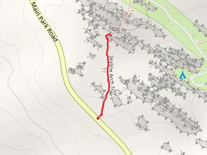
Getting to the Trailhead
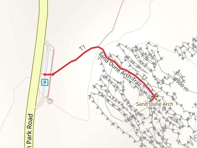
The starting point of the Hayduke Trail is accessible from Moab, which can be reached by car or shuttle services from nearby cities such as Salt Lake City or Las Vegas. Public transport options are limited in this region, so most hikers opt to drive or arrange a shuttle to the trailhead. For those using HiiKER to navigate, the trailhead is located near the main entrance of Arches National Park, just a short drive from Moab.
Navigating the Trail
The Hayduke Trail is not a formally marked or maintained path, so hikers should be well-versed in navigation skills and carry detailed maps or a reliable GPS device. HiiKER can be an invaluable tool for planning and staying on course throughout this remote and often challenging terrain.
Landmarks and Natural Features
As hikers embark on this journey, they will encounter a diverse array of landscapes, from the iconic red rock arches and canyons of southern Utah to the deep gorges and towering cliffs of the Grand Canyon in Arizona. The trail offers a close-up view of geological wonders and the unique flora and fauna adapted to this desert environment.
Wildlife and Flora
The region is home to a variety of wildlife, including mule deer, bighorn sheep, coyotes, and a wide range of bird species. Vegetation is sparse but includes hardy desert plants such as sagebrush, juniper, and cacti. Hikers should be aware of the potential for encounters with rattlesnakes and scorpions and take precautions accordingly.
Historical Significance
The trail passes through lands rich in Native American history, with ancient petroglyphs and ruins dotting the landscape. The area also has a storied past of pioneers and settlers who navigated these challenging terrains in search of new opportunities.
Climate and Best Times to Hike
The best times to hike the Hayduke Trail are during the spring and fall when temperatures are milder. Summers can be extremely hot with temperatures often exceeding 100°F (38°C), while winters can bring cold temperatures and snow, especially at higher elevations.
Preparation and Logistics
Due to its length and difficulty, the Hayduke Trail requires thorough preparation. Hikers should be self-sufficient, carrying all necessary supplies, including water filtration systems, as water sources are scarce and often unreliable. Resupply points are few and far between, so careful planning is essential. It is also recommended to arrange food drops or caches in advance.
Permits and Regulations
Hikers will need to obtain permits for the national parks and some wilderness areas along the route. It's important to check the latest regulations and permit requirements for each area before setting out on the trail.
Safety Considerations
Given the trail's remote nature, hikers should be prepared for self-rescue in case of emergency. It is advisable to hike with a partner, leave a detailed itinerary with someone at home, and carry a satellite communication device for emergencies. Being prepared for rapid weather changes and having the skills to navigate through remote and rugged terrain are crucial for a safe journey on the Hayduke Trail.

What to expect?
Activity types
Comments and Reviews
User comments, reviews and discussions about the Hayduke Trail, Utah.
4.5
average rating out of 5
10 rating(s)