Download
Preview
Add to list
More
13.3 km
~3 hrs 3 min
237 m
Loop
“Experience the stunning landscapes and rich history of Moab on this moderately challenging 13 km hiking loop.”
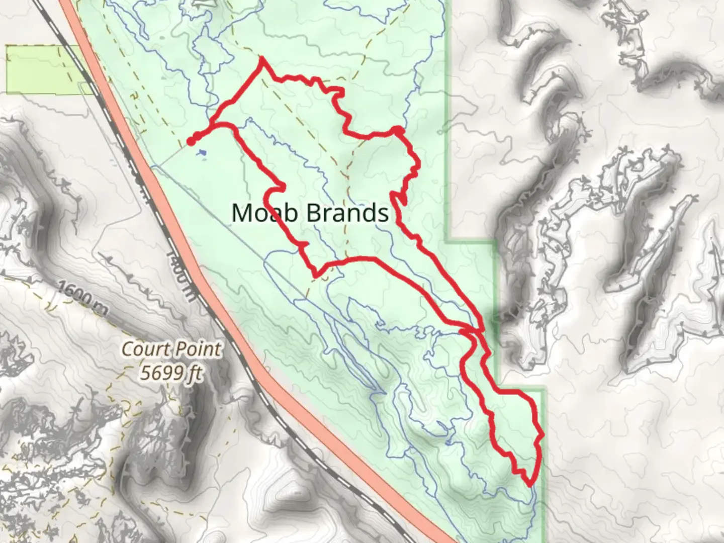
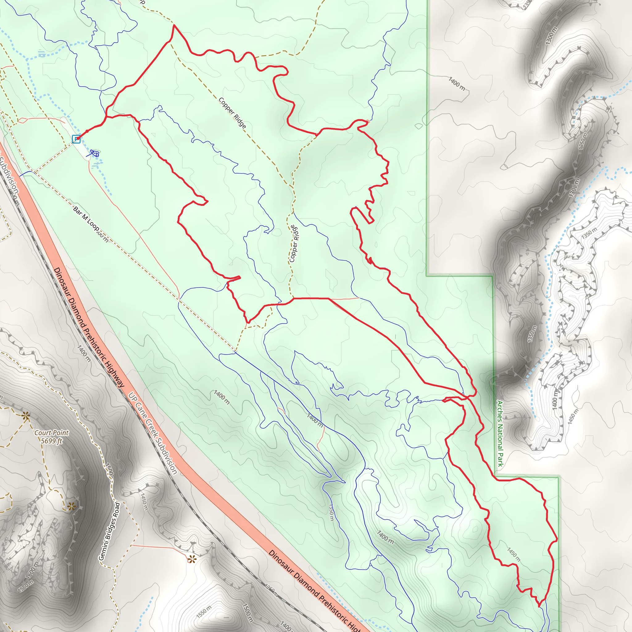
Starting near Grand County, Utah, the EZ, Bar M, and Rockin A Loop is a 13 km (8 miles) trail with an elevation gain of approximately 200 meters (656 feet). This loop trail is rated as medium difficulty, making it suitable for hikers with some experience.### Getting There To reach the trailhead, you can drive or use public transportation. If driving, head towards the Moab area, specifically near the Bar M Chuckwagon, which is a well-known landmark. For those using public transport, the nearest major hub is Moab, where you can catch a local shuttle or taxi to the trailhead.### Trail Overview The trail begins with a relatively gentle ascent, making it accessible for those who are moderately fit. The initial section, known as the EZ trail, is well-marked and offers a smooth introduction to the loop. As you progress, you'll transition onto the Bar M trail, which introduces more varied terrain, including some rocky sections and minor elevation changes.### Key Landmarks and Sections#### EZ Trail The EZ trail is the first segment you'll encounter. It is approximately 3 km (1.9 miles) long and features a gradual elevation gain of about 50 meters (164 feet). This section is characterized by its wide, well-maintained path and offers stunning views of the surrounding red rock formations. Keep an eye out for native flora like sagebrush and juniper trees.#### Bar M Trail After completing the EZ trail, you'll merge onto the Bar M trail. This section is around 5 km (3.1 miles) long and includes a mix of flat and slightly hilly terrain. The elevation gain here is more noticeable, adding another 100 meters (328 feet) to your climb. The Bar M trail is known for its scenic vistas of the La Sal Mountains and Arches National Park in the distance. Wildlife such as mule deer and various bird species are often spotted here.#### Rockin A Trail The final segment, the Rockin A trail, is approximately 5 km (3.1 miles) and brings you back to the starting point. This section is the most challenging, with a steeper elevation gain of about 50 meters (164 feet). The trail is rockier and requires careful navigation, so it's advisable to use a reliable navigation tool like HiiKER. The Rockin A trail offers panoramic views of the Moab Valley and the Colorado River, making it a rewarding end to your hike.### Historical Significance The region around Grand County has a rich history, with evidence of Native American habitation dating back thousands of years. Petroglyphs and ancient artifacts have been found in the area, adding a layer of historical intrigue to your hike. The landscape itself has been shaped by millions of years of geological activity, creating the unique rock formations that make this trail so visually stunning.### Preparation Tips Given the medium difficulty rating, it's essential to come prepared. Wear sturdy hiking boots and bring plenty of water, especially during the hotter months. The trail is well-marked, but having a map or using HiiKER for navigation is highly recommended. Weather can change rapidly, so check forecasts and be prepared for varying conditions.This loop offers a balanced mix of natural beauty, moderate physical challenge, and historical context, making it a must-visit for hikers in the Moab area.
What to expect?
Activity types
Comments and Reviews
User comments, reviews and discussions about the EZ, Bar M and Rockin A Loop, Utah.
4.39
average rating out of 5
18 rating(s)
