Download
Preview
Add to list
More
7.8 km
~1 hrs 55 min
216 m
Loop
“Explore the majestic Dark Angel Trail, a scenic hike through Utah's rugged desert tapestry and ancient history.”
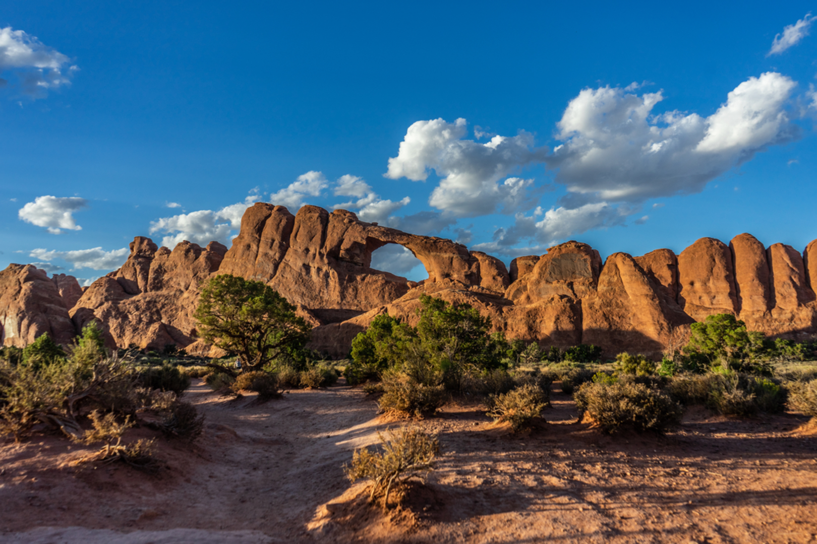
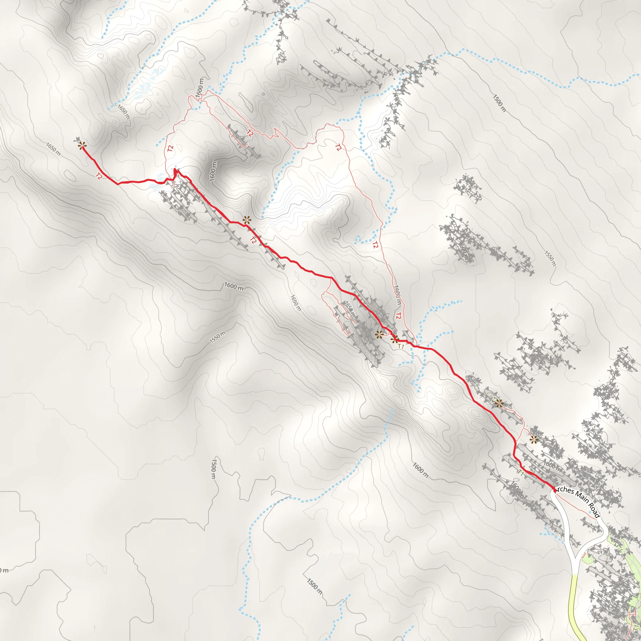
The Dark Angel Trail, nestled near Grand County, Utah, offers an immersive experience into the rugged beauty of the American Southwest. Spanning approximately 8 kilometers (about 5 miles) with an elevation gain of around 200 meters (656 feet), this loop trail is rated medium in difficulty, making it accessible to hikers with a moderate level of fitness.
Getting There To reach the trailhead, you can drive or take public transportation to the vicinity of Arches National Park, near Moab, Utah. The closest significant landmark is the Devils Garden area, which is well-marked and accessible via Arches Scenic Drive. Parking is available at the trailhead, and from Moab, several shuttle services operate to the park, offering a convenient option for those without a vehicle.
Trail Experience As you embark on the Dark Angel Trail, you'll traverse a diverse landscape that includes slickrock, sand, and narrow ledges. The initial section of the trail is shared with the popular Devils Garden Primitive Loop, leading you past towering sandstone fins and a variety of unique rock formations.
Landmarks and Scenery Approximately 2.5 kilometers (1.5 miles) into the hike, you'll encounter the iconic Landscape Arch, one of the longest natural arches in the world. From here, the trail becomes less crowded as you continue towards the Dark Angel spire, a solitary column of rock standing sentinel at the trail's furthest point.
The trail offers panoramic views of the surrounding desert and the La Sal Mountains in the distance. Keep an eye out for desert flora, such as yucca and cacti, as well as wildlife like lizards and the occasional soaring hawk.
Historical Significance The region is rich in history, with the Arches area being home to ancient petroglyphs and dwellings of the Ancestral Puebloans. While the Dark Angel Trail itself may not pass directly by these historical artifacts, the broader area of Arches National Park is a testament to the millennia of human history that has unfolded in this dramatic landscape.
Navigation For navigation purposes, HiiKER is an excellent tool to use while exploring the Dark Angel Trail. It provides detailed maps and GPS coordinates to ensure you stay on the correct path, especially in areas where the trail may be less defined.
Preparation and Safety Due to the exposed nature of the trail, it's essential to prepare for full sun exposure and bring plenty of water, especially during the hotter months. Sturdy hiking boots are recommended to navigate the rocky terrain safely. Always check the weather forecast before setting out, as flash floods can occur in the region.
Remember to practice Leave No Trace principles to preserve the natural beauty of the trail for future generations. This includes packing out all trash, staying on designated paths, and respecting wildlife.
By following these guidelines and being prepared for the conditions, hikers can fully enjoy the splendor of the Dark Angel Trail and the surrounding desert landscape.
Comments and Reviews
User comments, reviews and discussions about the Dark Angel Trail, Utah.
4.71
average rating out of 5
7 rating(s)

