Download
Preview
Add to list
More
37.2 km
~3 days
1151 m
Multi-Day
“Explore the Little Death Hollow Trail’s stunning canyons, historical petroglyphs, and diverse wildlife over 37 kilometers.”
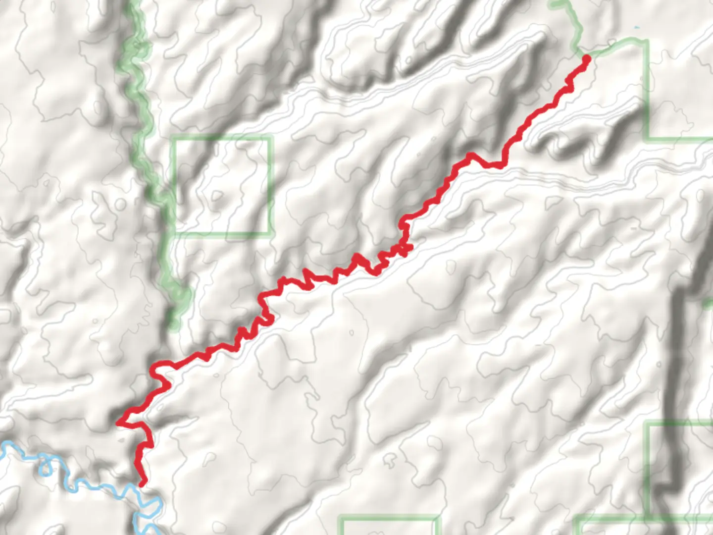
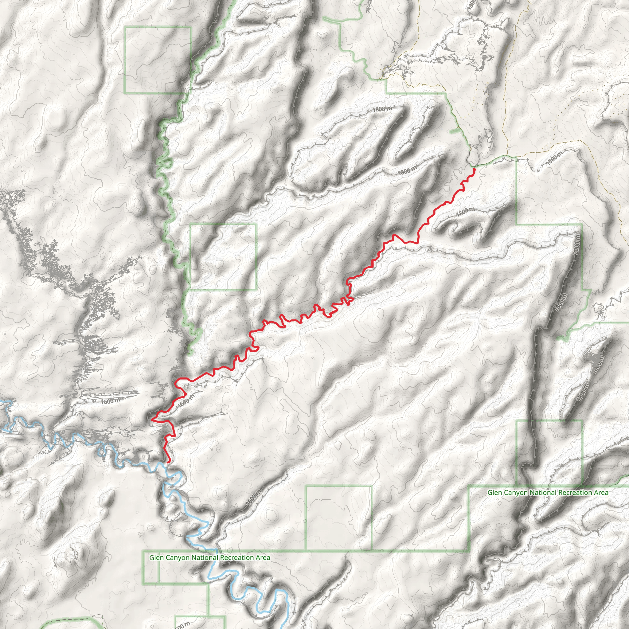
Starting near Garfield County, Utah, the Little Death Hollow Trail Out and Back spans approximately 37 kilometers (23 miles) with an elevation gain of around 1100 meters (3600 feet). This trail is classified as medium difficulty and offers a unique blend of geological formations, historical significance, and diverse wildlife.### Getting There To reach the trailhead, you can drive or use public transport. If driving, head towards Escalante, Utah, and follow the Hole-in-the-Rock Road for about 40 miles (64 kilometers) until you reach the trailhead. Public transport options are limited, so renting a car from a nearby city like Escalante or Boulder is advisable.### Trail Overview The trail begins with a relatively gentle ascent, allowing hikers to acclimate to the terrain. As you progress, the path becomes more rugged, featuring narrow canyons and slickrock sections. The first significant landmark is the confluence with Horse Canyon, approximately 5 kilometers (3 miles) in. Here, the elevation gain is about 150 meters (500 feet).### Geological Features One of the most striking aspects of this trail is the narrow slot canyons. Little Death Hollow itself is a narrow, winding canyon with walls that rise dramatically on either side. The canyon narrows to just a few feet in some sections, creating a surreal, almost otherworldly atmosphere. Be prepared for some scrambling and possibly wading through water, especially after recent rains.### Historical Significance The area is rich in history, with evidence of Native American habitation. Petroglyphs and ancient artifacts can be found along the trail, particularly near the confluence with Horse Canyon. These markings offer a glimpse into the lives of the indigenous people who once roamed this rugged landscape.### Wildlife and Flora The trail is home to a variety of wildlife, including mule deer, coyotes, and a range of bird species. Keep an eye out for golden eagles soaring above the canyon walls. The flora is equally diverse, with juniper, pinyon pine, and various desert shrubs dotting the landscape. Springtime brings a burst of wildflowers, adding a splash of color to the otherwise arid environment.### Navigation and Safety Given the complexity of the terrain, it's crucial to have reliable navigation tools. The HiiKER app is highly recommended for its detailed maps and real-time updates. Ensure you have downloaded the trail map before setting out, as cell service is limited in this remote area.### Water Sources and Camping Water sources are scarce, so carry enough water for the entire hike. There are a few natural springs along the way, but they are not reliable year-round. If you plan to camp, there are several suitable spots near the confluence with Horse Canyon and further along the trail. Always practice Leave No Trace principles to preserve the natural beauty of the area.### Final Stretch The final stretch of the trail involves a steep ascent, gaining approximately 300 meters (1000 feet) in elevation over the last 5 kilometers (3 miles). This section can be challenging, especially in hot weather, so pace yourself and take breaks as needed.This trail offers a rewarding experience for those prepared to tackle its challenges, providing a unique blend of natural beauty, historical intrigue, and a sense of adventure.
What to expect?
Activity types
Comments and Reviews
User comments, reviews and discussions about the Little Death Hollow Trail Out and Back, Utah.
4.54
average rating out of 5
13 rating(s)
