Download
Preview
Add to list
More
3.6 km
~56 min
140 m
Out and Back
“Embark on the mesmerizing Leprechaun Canyon Trail, a moderately challenging 4-kilometer hike through Utah's stunning slot canyons.”
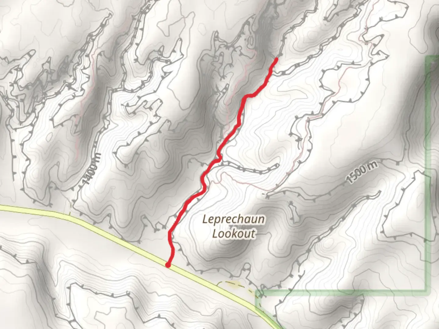
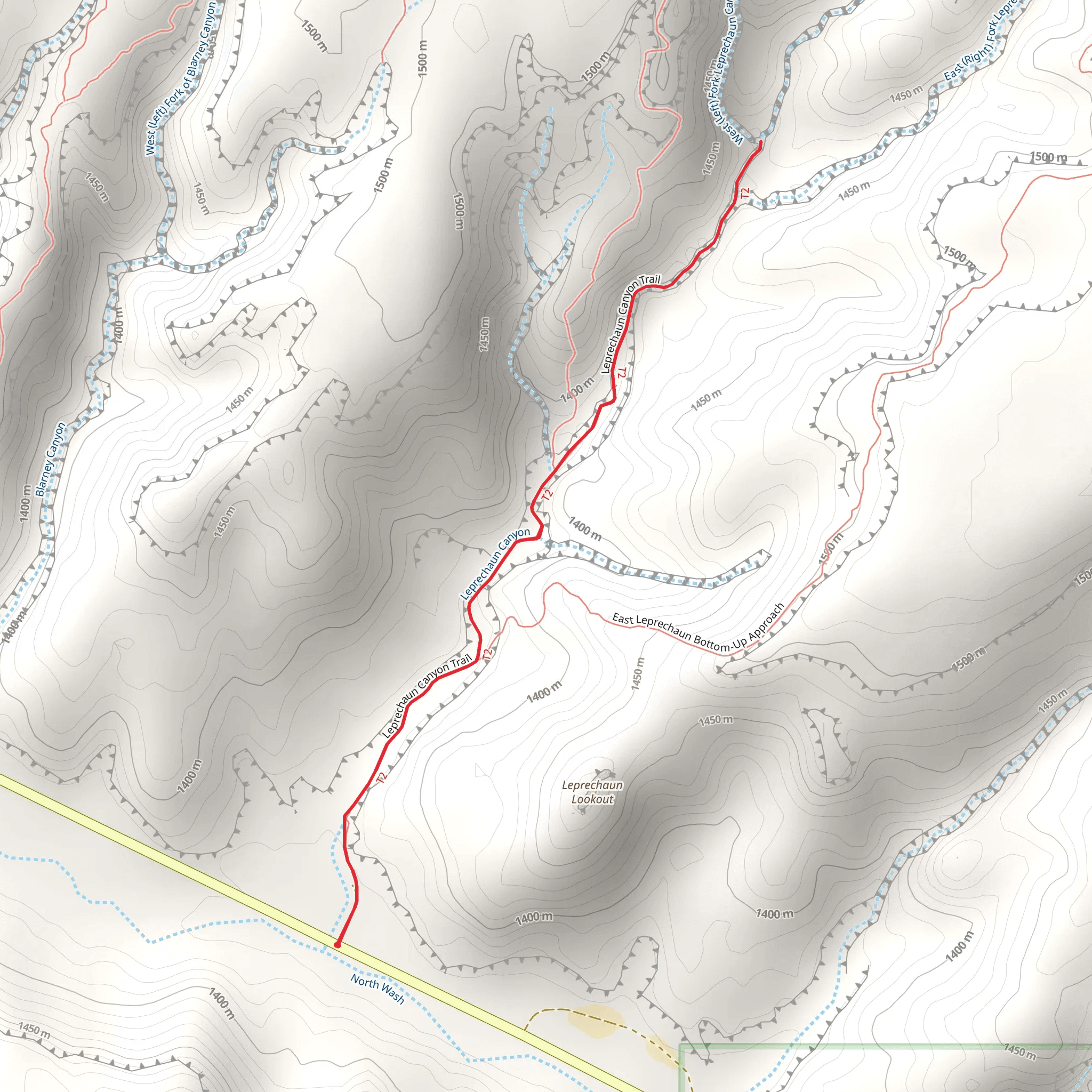
Starting your adventure near Garfield County, Utah, the Leprechaun Canyon Trail offers a captivating journey through one of the region's most intriguing slot canyons. This out-and-back trail spans approximately 4 kilometers (2.5 miles) with an elevation gain of around 100 meters (328 feet), making it a moderately challenging hike suitable for those with some experience.
Getting There
To reach the trailhead, you can drive or use public transport. If driving, head towards the town of Hanksville, Utah. From Hanksville, take UT-95 south for about 30 miles until you reach the turnoff for Leprechaun Canyon. The nearest significant landmark is the Hog Springs Rest Area, which is a convenient spot to park your vehicle. Public transport options are limited in this remote area, so renting a car is highly recommended.
Trail Navigation
For navigation, it's advisable to use HiiKER, which provides detailed maps and real-time GPS tracking to ensure you stay on course. The trailhead is well-marked, and the path is relatively straightforward, but having a reliable navigation tool can be invaluable, especially in the winding sections of the canyon.
What to Expect
As you begin your hike, you'll be greeted by the stunning red rock formations characteristic of the Utah desert. The initial part of the trail is relatively flat, allowing you to ease into the hike. After about 1 kilometer (0.6 miles), the terrain starts to ascend gradually, leading you into the heart of Leprechaun Canyon.
Significant Landmarks
One of the first significant landmarks you'll encounter is a narrow slot canyon section, approximately 1.5 kilometers (0.9 miles) from the trailhead. This part of the trail is particularly photogenic, with towering sandstone walls that create a dramatic play of light and shadow. Be prepared to navigate some tight squeezes and minor scrambling.
Nature and Wildlife
The canyon is home to a variety of desert flora and fauna. Keep an eye out for desert wildflowers, especially in the spring, and listen for the calls of canyon wrens echoing off the walls. You might also spot lizards basking on the rocks and, if you're lucky, a desert bighorn sheep in the distance.
Historical Significance
The region around Leprechaun Canyon holds historical significance, with evidence of ancient Native American habitation. Petroglyphs and pictographs can be found in nearby canyons, offering a glimpse into the lives of the Fremont and Ancestral Puebloan peoples who once roamed these lands. While there are no known petroglyphs directly on the Leprechaun Canyon Trail, the surrounding area is rich in archaeological history.
Final Stretch
As you approach the 2-kilometer (1.25-mile) mark, the canyon narrows further, and the walls rise higher, creating a sense of awe and wonder. This section can be a bit challenging due to the uneven terrain and occasional need for minor rock climbing. The trail eventually reaches a natural stopping point where the canyon becomes too narrow to proceed comfortably.
Return Journey
The return journey follows the same path, allowing you to experience the canyon from a different perspective. The descent is generally easier, but take care on the rocky sections to avoid slips and falls.
Preparation Tips
Ensure you bring plenty of water, as the desert environment can be extremely dry and hot, especially in the summer months. Wearing sturdy hiking boots with good grip is essential due to the rocky and uneven terrain. A hat, sunscreen, and sunglasses are also recommended to protect against the intense sun.
By following these guidelines and using HiiKER for navigation, you'll be well-prepared to enjoy the unique beauty and challenges of the Leprechaun Canyon Trail.
What to expect?
Activity types
Comments and Reviews
User comments, reviews and discussions about the Leprechaun Canyon Trail, Utah.
4.42
average rating out of 5
19 rating(s)
