Download
Preview
Add to list
More
2.8 km
~52 min
184 m
Out and Back
“Experience Utah's rugged beauty and rich history on the moderately challenging, scenic Buckhorn Trail.”
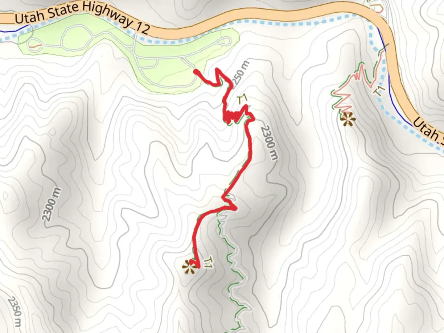
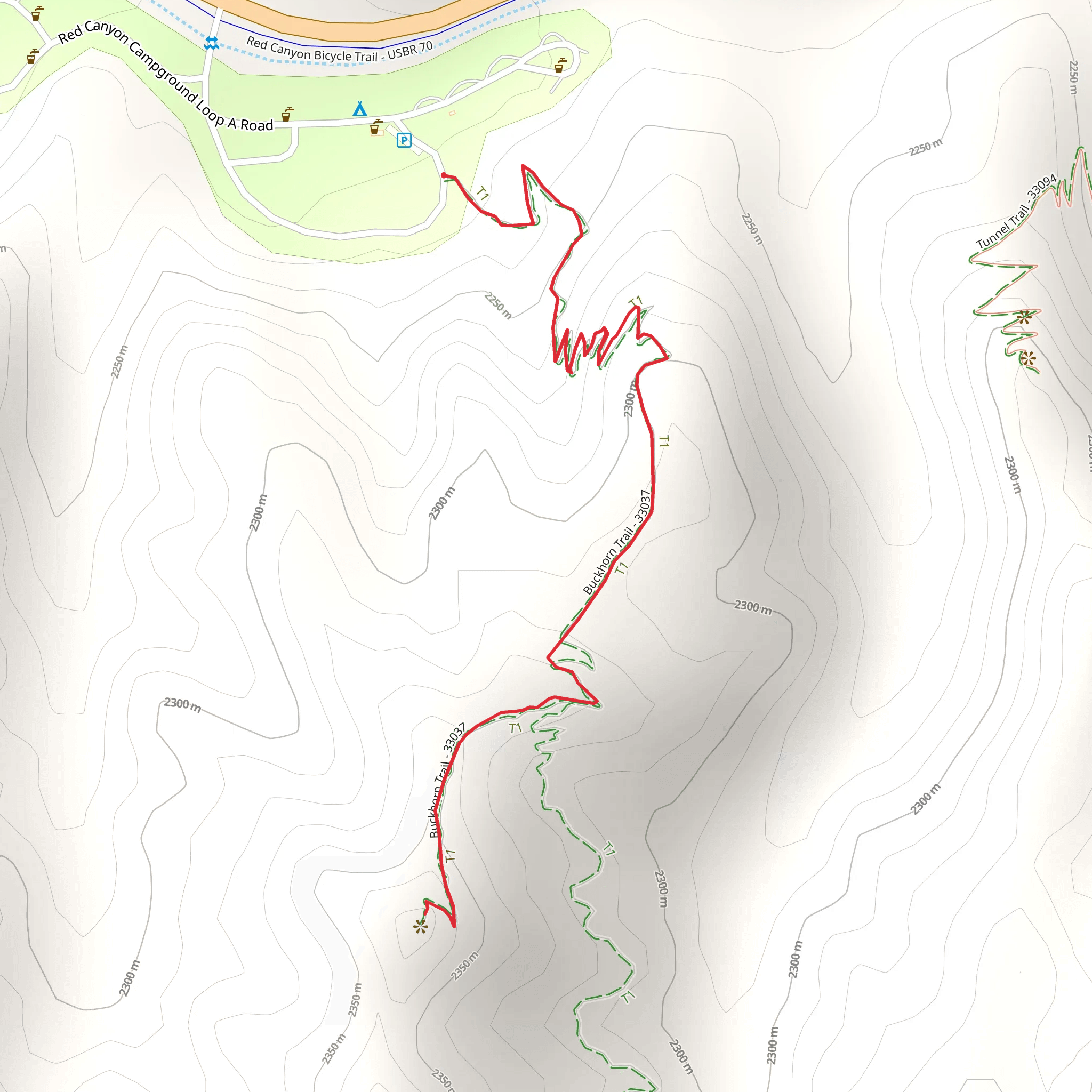
Starting near Garfield County, Utah, the Buckhorn Trail offers a moderately challenging hike that spans approximately 3 kilometers (1.86 miles) with an elevation gain of around 100 meters (328 feet). This out-and-back trail is perfect for those looking to experience the rugged beauty of Utah's landscape without committing to a full-day trek.
Getting There To reach the trailhead, you can drive or use public transportation. If you're driving, head towards the town of Escalante, Utah. From Escalante, take UT-12 W for about 5 miles (8 km) until you reach the turnoff for Hole-in-the-Rock Road. Follow this road for approximately 20 miles (32 km) until you reach the trailhead, which is well-marked and has a small parking area. For those using public transport, the nearest major bus stop is in Escalante, from where you can arrange a taxi or shuttle service to the trailhead.
Trail Overview The Buckhorn Trail begins with a gentle ascent through a landscape dotted with juniper and pinyon pine trees. The initial section is relatively easy, making it a good warm-up for the more strenuous parts ahead. As you progress, the trail becomes steeper and rockier, requiring careful footing.
Significant Landmarks About 1 kilometer (0.62 miles) into the hike, you'll encounter a striking rock formation known locally as "The Sentinel." This towering sandstone spire is a popular spot for photos and offers a good place to take a short break. Continuing on, the trail winds through a narrow canyon, where the walls rise dramatically on either side, creating a sense of seclusion and tranquility.
Flora and Fauna The Buckhorn Trail is home to a variety of plant and animal species. Keep an eye out for mule deer, which are commonly seen in the early morning or late afternoon. Birdwatchers will also enjoy spotting species like the Western Scrub-Jay and the Black-throated Sparrow. The flora is equally diverse, with blooming wildflowers in the spring and vibrant foliage in the fall.
Historical Significance This region has a rich history, with evidence of Native American habitation dating back thousands of years. Petroglyphs and ancient artifacts have been found in the area, adding a layer of historical intrigue to your hike. The trail itself was used by early settlers and cattle ranchers, and remnants of old homesteads can still be seen along the route.
Navigation and Safety Given the trail's moderate difficulty, it's advisable to use a reliable navigation tool like HiiKER to keep track of your progress and ensure you stay on course. The trail is well-marked, but having a digital map can provide extra peace of mind. Make sure to bring plenty of water, especially during the hotter months, as there are no water sources along the trail.
Final Stretch As you near the end of the trail, you'll be rewarded with panoramic views of the surrounding landscape. The endpoint offers a perfect spot for a picnic or simply to sit and take in the natural beauty before retracing your steps back to the trailhead.
This hike is a fantastic way to experience the unique geological and ecological features of Garfield County, Utah, while also delving into the area's rich historical background.
What to expect?
Activity types
Comments and Reviews
User comments, reviews and discussions about the Buckhorn Trail, Utah.
4.63
average rating out of 5
19 rating(s)
