Download
Preview
Add to list
More
26.1 km
~1 day 1 hrs
557 m
Point-to-Point
“Explore the Temple Mountain Road and Eagle Canyon Trail for stunning views, historical sites, and moderate challenges.”
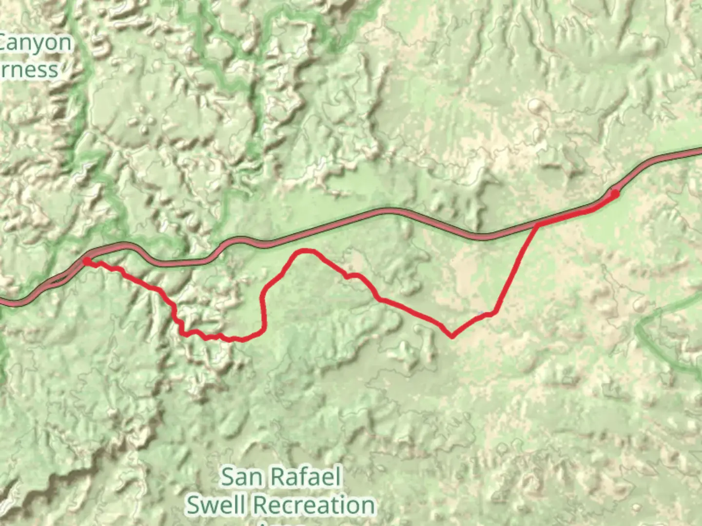
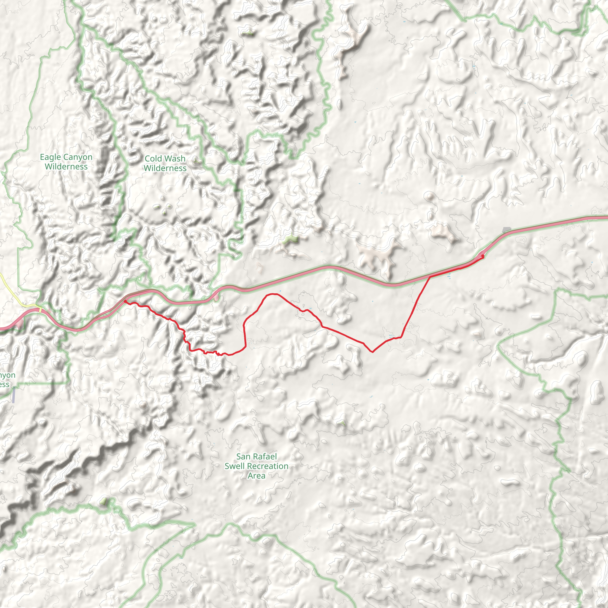
Starting near Emery County, Utah, the Temple Mountain Road and Eagle Canyon Trail spans approximately 26 kilometers (16 miles) with an elevation gain of around 500 meters (1,640 feet). This point-to-point trail offers a medium difficulty rating, making it suitable for moderately experienced hikers.### Getting There To reach the trailhead, you can drive or use public transport. If driving, head towards the town of Green River, Utah, which is the nearest significant landmark. From Green River, take I-70 westbound and exit at Temple Mountain Road. Follow Temple Mountain Road south for about 15 miles until you reach the trailhead. Public transport options are limited, so driving is the most reliable way to get there.### Trail Overview The trail begins with a gradual ascent, offering panoramic views of the surrounding desert landscape. The first few kilometers are relatively easy, allowing you to acclimate to the terrain. As you progress, the trail becomes more challenging, with steeper inclines and rocky sections.### Landmarks and Points of Interest - Temple Mountain: Around 5 kilometers (3 miles) into the hike, you'll encounter Temple Mountain, a prominent feature that offers stunning views and a great spot for a short break. - Eagle Canyon: Approximately halfway through the trail, you'll descend into Eagle Canyon. This section is particularly scenic, with towering canyon walls and unique rock formations. Keep an eye out for petroglyphs etched into the canyon walls, remnants of the area's ancient Native American inhabitants. - Old Mining Sites: The region has a rich mining history, and you'll come across several old mining sites along the trail. These sites offer a glimpse into the past and are fascinating to explore.### Flora and Fauna The trail traverses a diverse range of ecosystems. In the higher elevations, you'll find pinyon pines and junipers, while the lower sections are dominated by desert scrub and sagebrush. Wildlife is abundant, with chances to see mule deer, jackrabbits, and various bird species. Be cautious of rattlesnakes, especially in the warmer months.### Navigation and Safety Given the trail's remote location, it's crucial to be well-prepared. Download the trail map from HiiKER for offline use, as cell service is unreliable in this area. Carry plenty of water, as there are no reliable water sources along the trail. Weather can be unpredictable, so check the forecast and be prepared for sudden changes.### Historical Significance The area around Temple Mountain and Eagle Canyon has a rich history. The region was once inhabited by the Fremont people, and their petroglyphs can still be seen today. In the early 20th century, the area was a hub for uranium mining, which played a significant role in the local economy. The remnants of these mining operations add a historical layer to your hiking experience.### Final Stretch The last few kilometers of the trail involve a gradual descent, offering a gentle end to your hike. The trail concludes near the San Rafael Swell, a geological wonder that is worth exploring if you have extra time.This trail offers a mix of natural beauty, historical intrigue, and moderate physical challenge, making it a rewarding experience for those who undertake it.
What to expect?
Activity types
Comments and Reviews
User comments, reviews and discussions about the Temple Mountain Road and Eagle Canyon Trail, Utah.
4.44
average rating out of 5
9 rating(s)
