Download
Preview
Add to list
More
31.6 km
~1 day 2 hrs
763 m
Out and Back
“This 32 km Utah trail blends moderate challenges with stunning sandstone formations, diverse wildlife, and historical significance.”
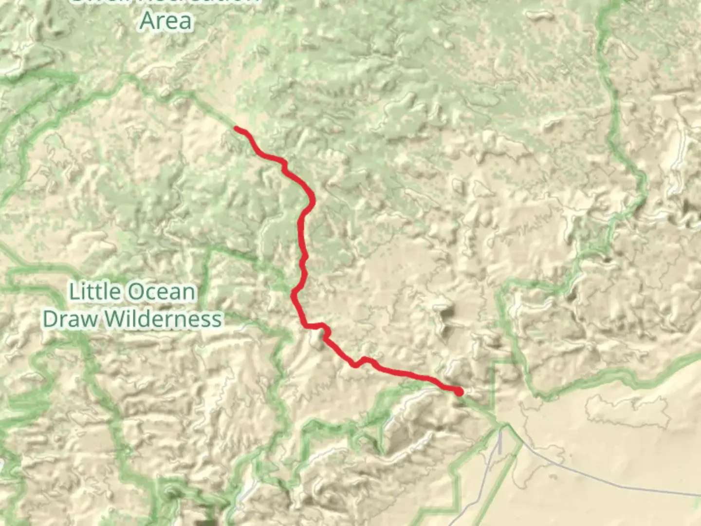
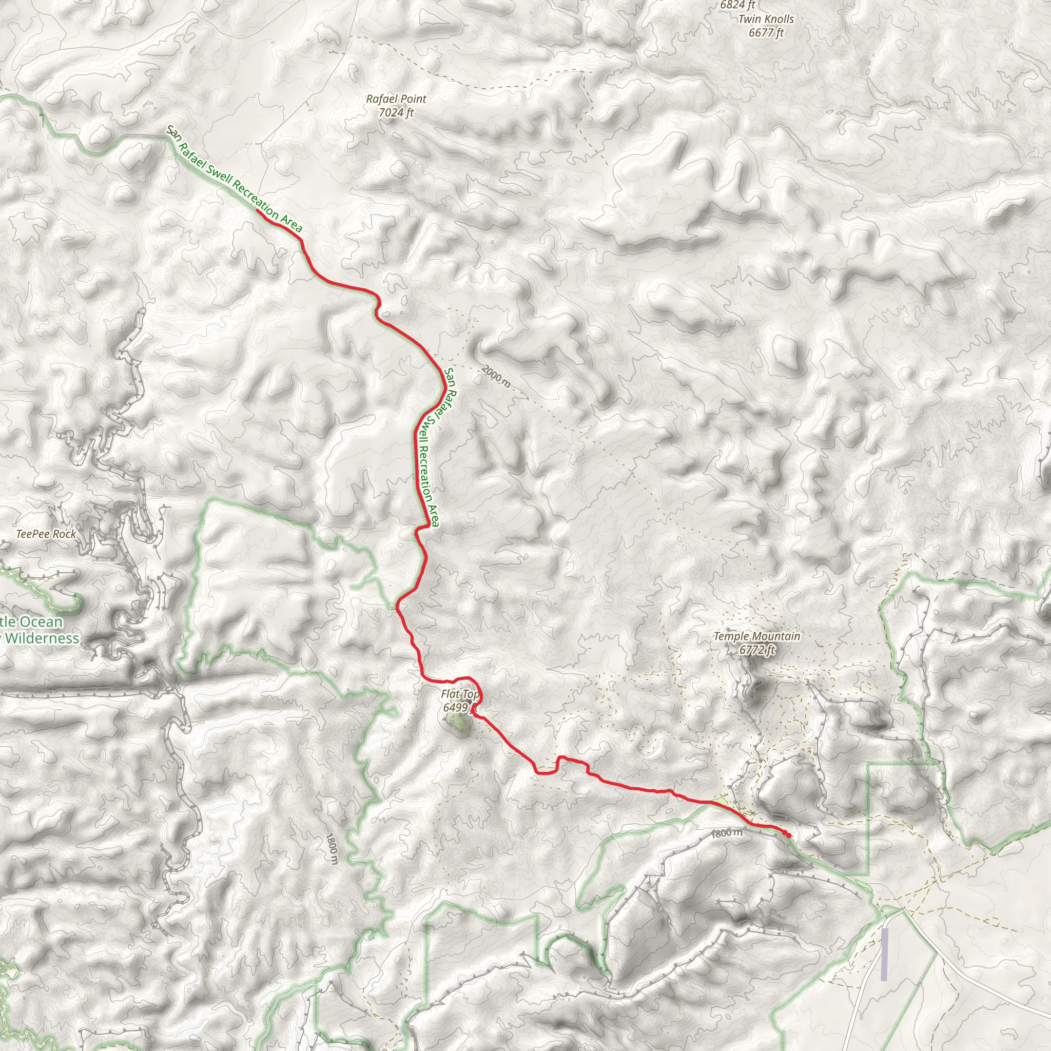
Starting near Emery County, Utah, this 32 km (approximately 20 miles) out-and-back trail offers a moderate challenge with an elevation gain of around 700 meters (2,300 feet). The trailhead is accessible by car, and the nearest significant landmark is the town of Emery, Utah. Public transport options are limited, so driving is the most practical way to reach the starting point.
Trail Overview
The trail begins with a gentle ascent, allowing hikers to ease into the journey. As you progress, the terrain becomes more varied, featuring a mix of dirt paths and rocky sections. The initial 5 km (3 miles) are relatively straightforward, with an elevation gain of about 150 meters (500 feet). This section is ideal for warming up and getting accustomed to the trail's rhythm.
Key Landmarks and Natural Features
Around the 8 km (5-mile) mark, you'll encounter a series of sandstone formations that are characteristic of the region. These natural sculptures are not only visually stunning but also provide a glimpse into the geological history of the area. Keep an eye out for the unique flora that thrives in this arid environment, including various species of cacti and desert wildflowers.
Wildlife and Nature
The trail is home to a diverse range of wildlife. You might spot mule deer, jackrabbits, and even the occasional coyote. Birdwatchers will be delighted by the presence of hawks, eagles, and various songbirds. It's advisable to carry binoculars if you're interested in observing these creatures up close.
Historical Significance
This region has a rich history, with evidence of Native American habitation dating back thousands of years. Petroglyphs and ancient artifacts have been discovered in the vicinity, offering a fascinating glimpse into the lives of the area's original inhabitants. As you hike, take a moment to appreciate the historical significance of the land you're traversing.
Navigation and Safety
Given the trail's moderate difficulty, it's essential to be well-prepared. Use HiiKER for accurate navigation and to stay updated on trail conditions. The app will help you track your progress and ensure you stay on the correct path. Always carry sufficient water, especially during the hotter months, as the desert environment can be unforgiving.
Final Stretch
The final 8 km (5 miles) of the trail involve a more strenuous climb, with an elevation gain of about 300 meters (1,000 feet). This section offers panoramic views of the surrounding landscape, making the effort well worth it. Upon reaching the turnaround point, take some time to rest and enjoy the scenery before heading back.
Getting There
To reach the trailhead, drive to Emery, Utah, and follow local signage to the starting point. The trailhead is well-marked and offers limited parking. If you're using a GPS, set your destination to Emery, Utah, and follow the directions from there.
This trail offers a rewarding experience for those willing to take on its challenges, providing a blend of natural beauty, wildlife, and historical intrigue.
What to expect?
Activity types
Comments and Reviews
User comments, reviews and discussions about the Temple Mountain Road, Utah.
4.38
average rating out of 5
13 rating(s)
