Download
Preview
Add to list
More
34.2 km
~1 day 3 hrs
978 m
Loop
“Embark on Goodwater Rim Trail's breathtaking loop for panoramic vistas and rich historical tapestries.”
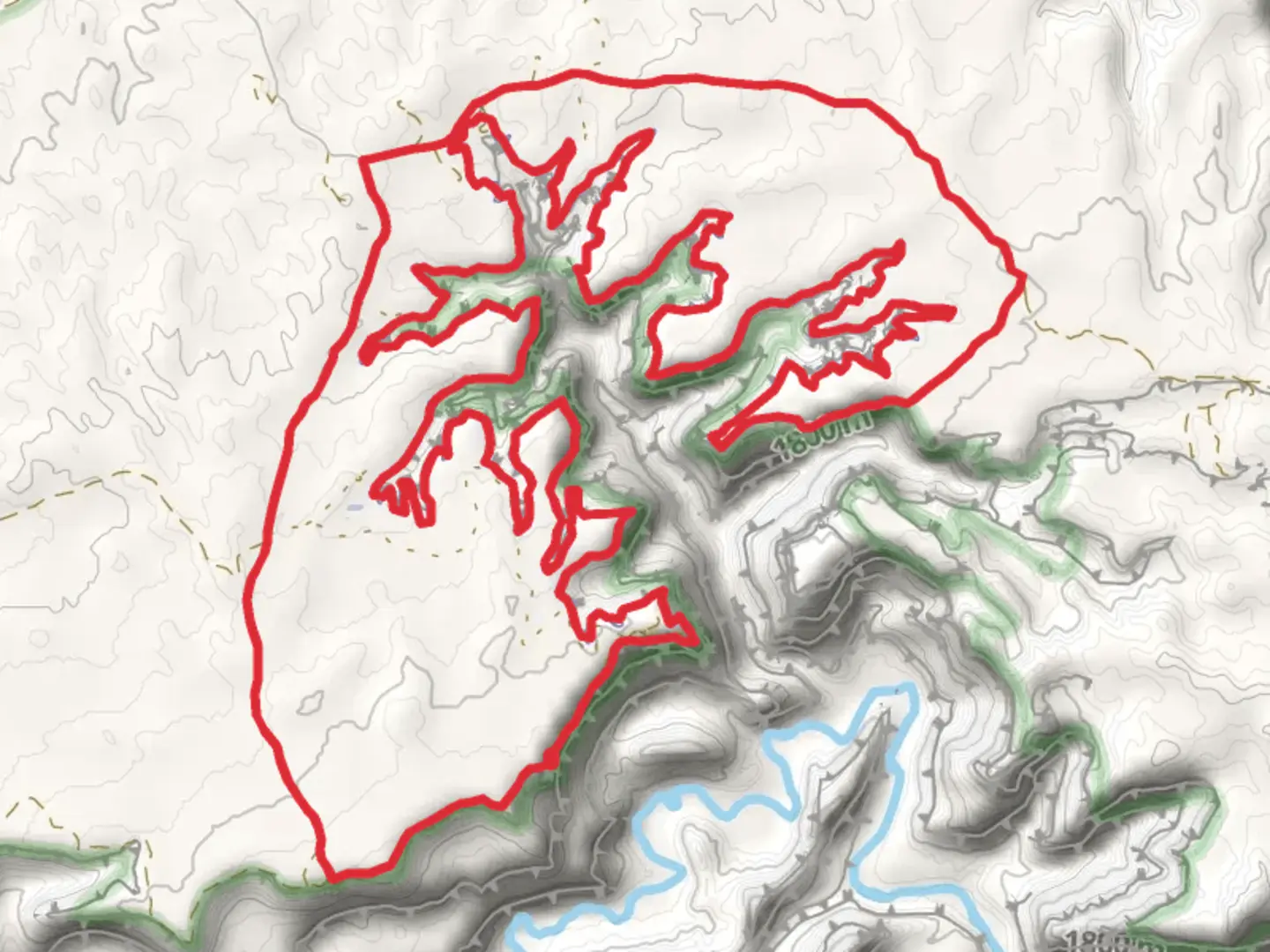
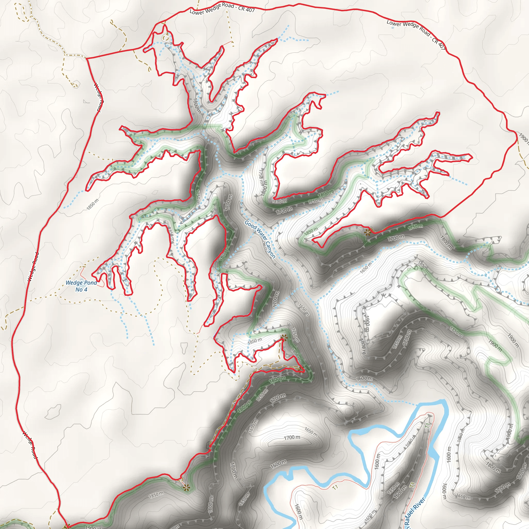
The Goodwater Rim Trail, nestled near Emery County, Utah, offers a scenic loop that spans approximately 34 kilometers (about 21 miles) with an elevation gain of around 900 meters (roughly 2950 feet). This trail is renowned for its breathtaking views of the San Rafael Swell, a large geologic feature that presents a vast array of canyons, pinnacles, and buttes.
Getting to the Trailhead To reach the trailhead, which is situated near the Wedge Overlook, hikers can drive to the closest town of Castle Dale, Utah. From there, head east on Highway 29 until reaching the turnoff for the Wedge Overlook, which is well-signed. A high-clearance vehicle is recommended for the dirt roads leading to the trailhead. Public transport options are limited in this remote area, so driving or carpooling is the most viable option for accessing the start of the hike.
Trail Experience As you embark on the Goodwater Rim Trail, you'll traverse the edge of the San Rafael Swell, offering panoramic views of the Little Grand Canyon. The trail is well-marked, but carrying a GPS device with the HiiKER app can help ensure you stay on the correct path, as there are several side trails.
The first section of the trail meanders along the rim, providing a relatively flat and easy hike with minor elevation changes. Approximately 10 kilometers (6 miles) in, you'll encounter the first significant landmark, the Good Water Canyon overlook, where the trail begins to descend slightly into juniper and pinyon pine woodlands.
Flora and Fauna Throughout your journey, keep an eye out for the diverse wildlife, including mule deer, desert bighorn sheep, and various bird species. The trail is also home to a variety of plant life, from cacti and wildflowers to sagebrush, all adapted to the arid environment.
Historical Significance The region holds a rich history, with the San Rafael Swell having been a barrier to travel for early settlers and Native Americans. Evidence of ancient cultures can be seen in the form of petroglyphs and pictographs on rock walls along the trail, particularly near the mouth of Buckhorn Wash, roughly halfway through the hike.
Navigating the Trail As you continue, the trail will lead you to the head of Good Water Canyon, where you'll experience a more significant elevation gain. This is the most challenging part of the hike, but it rewards hikers with stunning views of the canyon below.
After completing the loop, the trail gently ascends back to the rim, offering a final, expansive vista before returning to the trailhead. The entire loop can take a full day to complete, so it's essential to start early and carry plenty of water, as sources are scarce along the route.
Preparing for the Hike Due to the remote nature of the trail and the lack of water sources, it's crucial to be well-prepared with at least 4 liters of water per person, sun protection, and adequate food. The trail is best hiked in the spring or fall when temperatures are milder. Always check the weather forecast before setting out, as flash floods can be a danger in the canyons.
Remember, the Goodwater Rim Trail offers a moderate challenge with its length and elevation gain, but it's an unforgettable experience for those who come prepared to explore the natural beauty and historical wonders of the San Rafael Swell.
What to expect?
Activity types
Comments and Reviews
User comments, reviews and discussions about the Goodwater Rim Trail, Utah.
4.55
average rating out of 5
20 rating(s)
