Download
Preview
Add to list
More
22.9 km
~1 day 1 hrs
892 m
Out and Back
“Embark on a moderate, scenic hike through Utah’s historical Uinta Mountains to serene Pinto Lake.”
Starting your adventure near Duchesne County, Utah, the trailhead for the Pinto Lake via Duchesne River Trail is accessible by car. If you're using public transport, the nearest significant landmark is the town of Duchesne, from where you might need to arrange a taxi or shuttle service to the trailhead.
The trail spans approximately 23 kilometers (14.3 miles) with an elevation gain of around 800 meters (2,625 feet), making it a moderately challenging hike. The out-and-back trail format means you'll be retracing your steps on the return journey, so plan your energy and supplies accordingly.
Initial Ascent and River Views
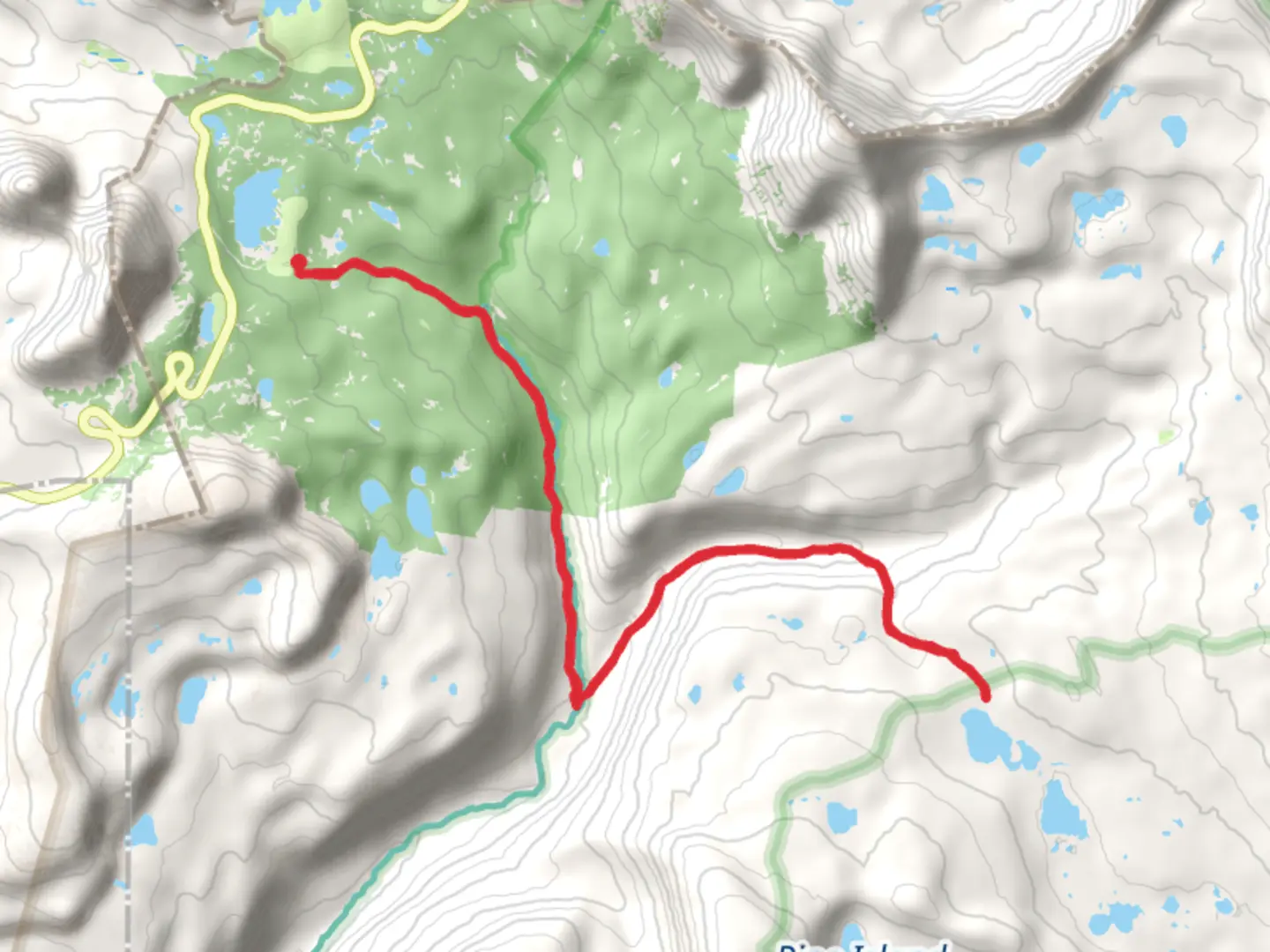
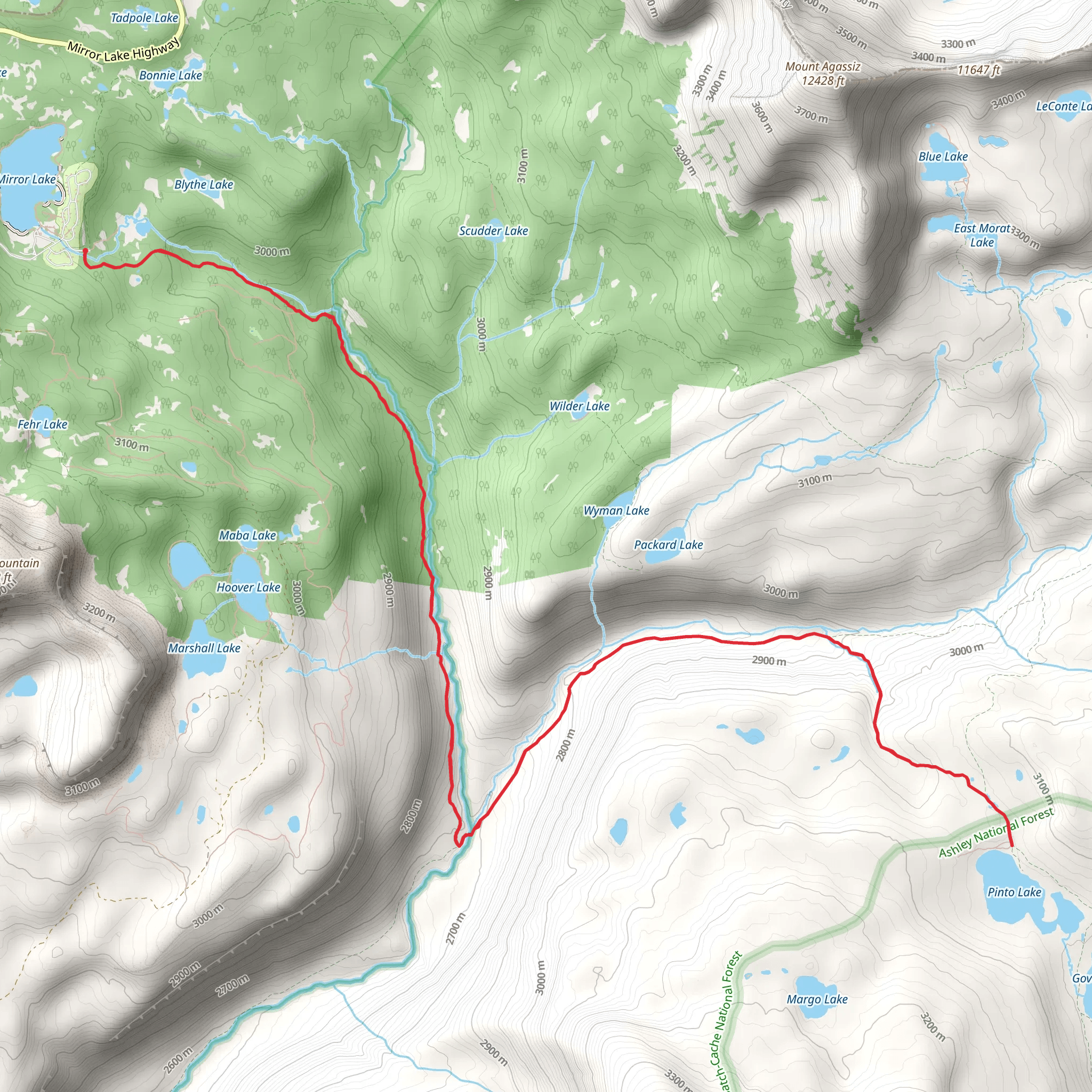
Starting off, the trail follows the Duchesne River, offering picturesque views of the flowing water and surrounding forest. The initial section is relatively flat, allowing you to ease into the hike. After about 3 kilometers (1.9 miles), you'll begin to notice a gradual ascent. Keep an eye out for local wildlife such as deer and various bird species that frequent this area.
Mid-Trail Landmarks and Elevation Gain
Around the 8-kilometer (5-mile) mark, the trail starts to climb more steeply. This is where you'll gain most of the 800 meters (2,625 feet) in elevation. The terrain becomes rockier, and you'll pass through dense forest areas interspersed with open meadows. These meadows are perfect spots for a short break and to take in the panoramic views of the surrounding Uinta Mountains.
Historical Significance
As you hike, you'll be traversing land that has historical significance. The Uinta Mountains were historically inhabited by the Ute Tribe, and the Duchesne River was a vital resource for them. Keep an eye out for any informational plaques or markers that provide more context about the indigenous history of the area.
Approaching Pinto Lake
At approximately 11.5 kilometers (7.1 miles), you'll reach Pinto Lake, the turnaround point of your hike. The lake is a serene spot, surrounded by towering pines and offering clear, cold water. It's an excellent place to rest, have lunch, and maybe even dip your feet in the water. The area around the lake is also a good spot for birdwatching, with species like ospreys and eagles often seen soaring above.
Return Journey
The return journey retraces your steps back to the trailhead. While descending, take the opportunity to enjoy the downhill sections and the different perspective of the landscape. The descent can be tough on the knees, so trekking poles might be helpful.
Navigation and Safety
For navigation, it's highly recommended to use HiiKER, which provides detailed maps and real-time updates. The trail is well-marked, but having a reliable navigation tool ensures you stay on track. Always carry enough water, snacks, and a first-aid kit. Weather in the Uinta Mountains can be unpredictable, so pack layers and be prepared for sudden changes.
Getting There
If driving, head towards Duchesne County, Utah, and follow local signage to the trailhead. Parking is available but can fill up quickly during peak seasons, so an early start is advisable. If relying on public transport, the nearest significant landmark is the town of Duchesne, from where you can arrange a taxi or shuttle service to the trailhead.
This trail offers a mix of natural beauty, moderate physical challenge, and a touch of historical significance, making it a rewarding experience for any hiker.
What to expect?
Activity types
Comments and Reviews
User comments, reviews and discussions about the Pinto Lake via Duchesne River Trail, Utah.
4.7
average rating out of 5
10 rating(s)
