Download
Preview
Add to list
More
23.6 km
~1 day 1 hrs
1145 m
Out and Back
“Explore the scenic Uinta Mountains on a moderately challenging 24 km hike featuring stunning vistas and historical intrigue.”
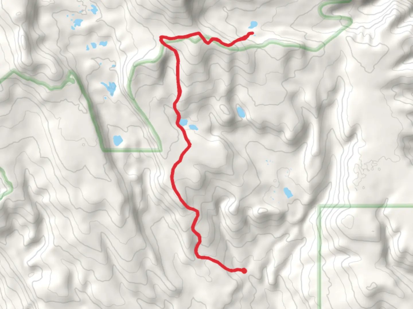
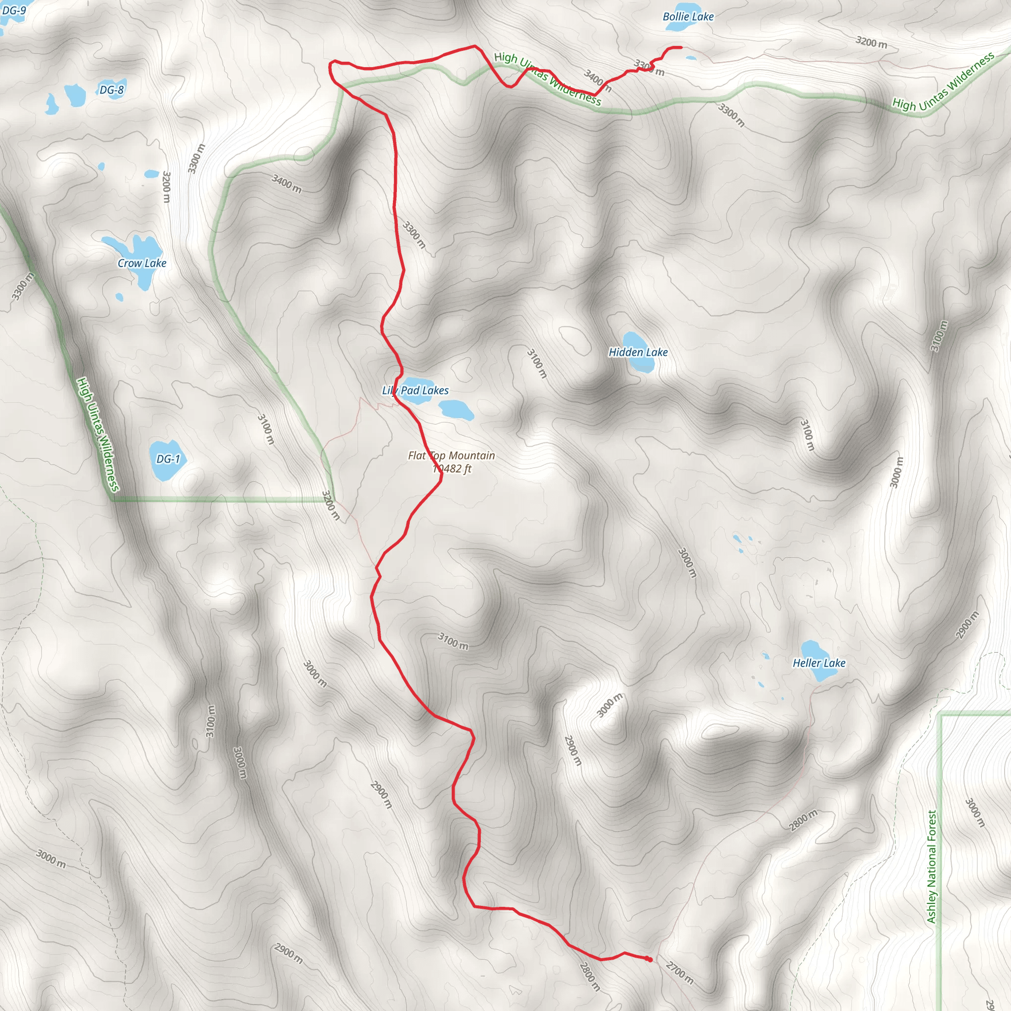
Starting near Duchesne County, Utah, this 24 km (approximately 15 miles) out-and-back trail offers a moderately challenging hike with an elevation gain of around 1100 meters (3600 feet). To reach the trailhead, you can drive from Duchesne, taking US-191 N and then turning onto Forest Road 119. Public transport options are limited, so driving is the most practical way to get there.
Trail Overview and Terrain
The trail begins with a gradual ascent through a dense forest of pines and aspens. The first 3 km (1.9 miles) are relatively gentle, allowing you to acclimate to the elevation. As you progress, the trail becomes steeper, with switchbacks that offer occasional breaks in the trees, providing stunning views of the surrounding Uinta Mountains.
Significant Landmarks and Points of Interest
Around the 5 km (3.1 miles) mark, you'll encounter a small, serene meadow, often frequented by deer and elk. This is a great spot for a short rest and to take in the natural beauty. Continuing on, the trail becomes rockier and more rugged, requiring careful footing.
At approximately 8 km (5 miles), you'll reach a fork in the trail. The left path leads to Flat Top Mountain, while the right path takes you to Bollie Lake. Heading towards Flat Top Mountain, the trail becomes steeper and more exposed. The summit, at around 11 km (6.8 miles), offers panoramic views of the Uinta Basin and the High Uintas Wilderness. The elevation gain to this point is about 900 meters (2950 feet).
Flora and Fauna
The area is rich in wildlife, including black bears, mountain lions, and a variety of bird species such as hawks and eagles. The flora changes with elevation, starting with dense forests and transitioning to alpine meadows and rocky outcrops near the summit.
Historical Significance
The Uinta Mountains are one of the few east-west trending mountain ranges in North America. Historically, this area was inhabited by the Ute Tribe, and you may come across ancient petroglyphs and other artifacts along the way. The region was also explored by early trappers and settlers in the 19th century, adding a layer of historical intrigue to your hike.
Navigation and Safety
Given the trail's moderate difficulty, it's advisable to use a reliable navigation tool like HiiKER to stay on track. Weather can change rapidly in the mountains, so be prepared for sudden rain or snow, even in summer. Carry sufficient water, as natural sources can be scarce, especially in late summer.
Final Stretch to Bollie Lake
If you choose to visit Bollie Lake, retrace your steps to the fork and take the right path. The trail to the lake is less steep but still challenging, with an additional elevation gain of about 200 meters (650 feet). Bollie Lake, at around 13 km (8 miles) from the trailhead, is a pristine alpine lake surrounded by towering peaks, making it an ideal spot for a longer rest or even an overnight camp.
This trail offers a blend of natural beauty, wildlife, and historical significance, making it a rewarding experience for those prepared for a moderately challenging hike.
What to expect?
Activity types
Comments and Reviews
User comments, reviews and discussions about the Flat Top Mountain and Bollie Lake, Utah.
average rating out of 5
0 rating(s)
