Download
Preview
Add to list
More
34.7 km
~1 day 2 hrs
171 m
Out and Back
“The Weber River Parkway offers a scenic 35-kilometer hike with historical sites and diverse wildlife, ideal for enthusiasts.”
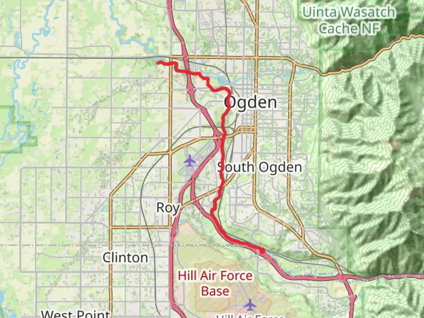
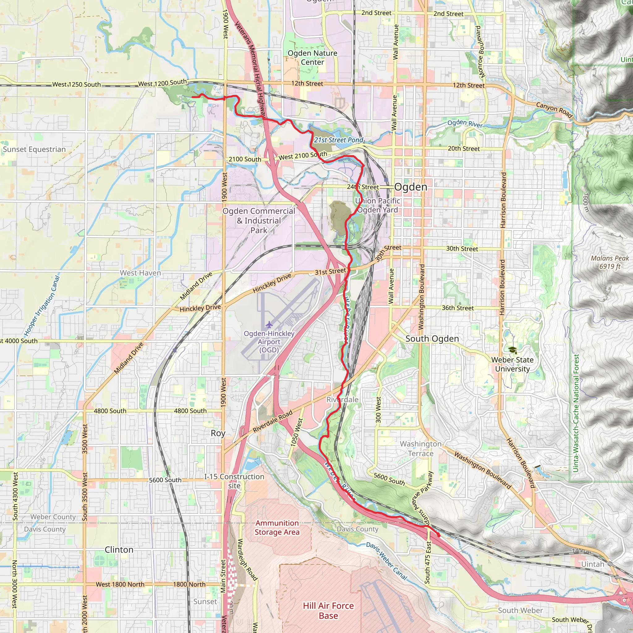
Starting near Davis County, Utah, the Weber River Parkway is an inviting out-and-back trail stretching approximately 35 kilometers (around 22 miles) with a gentle elevation gain of about 100 meters (328 feet). This trail is rated as medium difficulty, making it accessible for a wide range of hikers, from beginners looking for a challenge to seasoned trekkers seeking a leisurely day hike.
Getting There To reach the trailhead, you can drive or use public transport. If driving, head towards Davis County, Utah, and look for parking near the intersection of 24th Street and Lincoln Avenue in Ogden. For those using public transport, the Ogden Intermodal Transit Center is a convenient option, located just a short walk from the trailhead.
Trail Navigation For navigation, HiiKER is an excellent tool to use. It provides detailed maps and real-time updates, ensuring you stay on track throughout your hike.
Trail Highlights The Weber River Parkway offers a diverse range of landscapes and experiences. Starting from the trailhead, you'll follow the Weber River, which provides a serene backdrop for the first few kilometers. The river is home to various species of fish and waterfowl, so keep an eye out for ducks, herons, and even the occasional beaver.
Historical Significance As you progress, you'll encounter several points of historical interest. The area around the Weber River has a rich history, dating back to the early settlers and Native American tribes. The trail itself follows parts of the old rail lines used during the early 20th century, remnants of which can still be seen along the way.
Nature and Wildlife The trail meanders through lush greenery, with cottonwood trees providing ample shade. In spring and summer, wildflowers bloom in abundance, adding vibrant colors to your hike. The area is also a habitat for deer, rabbits, and various bird species, making it a great spot for wildlife observation.
Key Landmarks Around the 10-kilometer (6.2-mile) mark, you'll come across Fort Buenaventura Park, a significant historical site where you can take a short detour to explore the reconstructed fort and learn about the early fur trappers who settled in the region. Continuing along the trail, you'll pass through several well-maintained parks, including the Ogden Nature Center, which offers educational exhibits and additional walking paths.
Trail Conditions The trail is well-maintained and mostly paved, making it suitable for both hiking and biking. However, some sections may be uneven or muddy after rain, so sturdy footwear is recommended. There are several rest areas and benches along the way, providing perfect spots to take a break and enjoy the scenery.
Final Stretch As you approach the end of the trail, the landscape opens up, offering expansive views of the surrounding mountains and valleys. The gentle elevation gain is spread out over the entire trail, making the ascent barely noticeable but rewarding you with beautiful vistas.
Safety and Preparation Given the moderate difficulty, it's advisable to carry sufficient water, snacks, and a basic first-aid kit. Weather can change rapidly, so check forecasts and dress in layers. Cell phone reception is generally good, but having a map on HiiKER will ensure you stay oriented.
The Weber River Parkway is a delightful trail that combines natural beauty, historical intrigue, and a moderate challenge, making it a must-visit for any hiking enthusiast.
What to expect?
Activity types
Comments and Reviews
User comments, reviews and discussions about the Weber River Parkway, Utah.
4.5
average rating out of 5
18 rating(s)
