Download
Preview
Add to list
More
4.5 km
~1 hrs 16 min
231 m
Loop
“The Terraces Trail and Tower Connector Loop offers a scenic, moderately challenging 4 km hike with stunning views.”
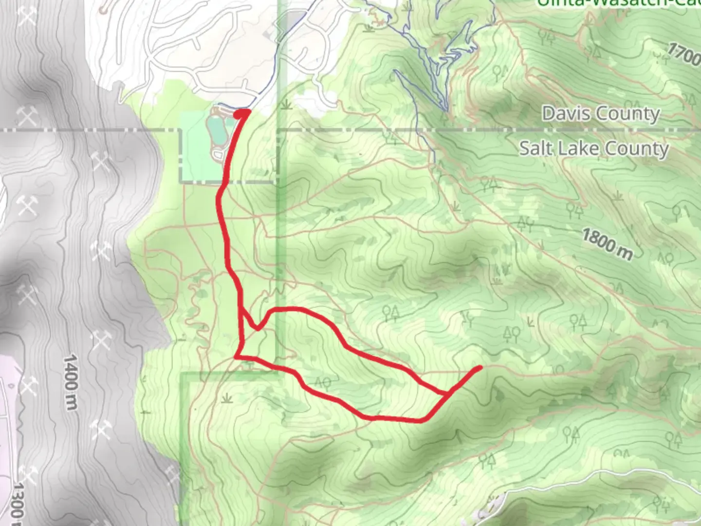
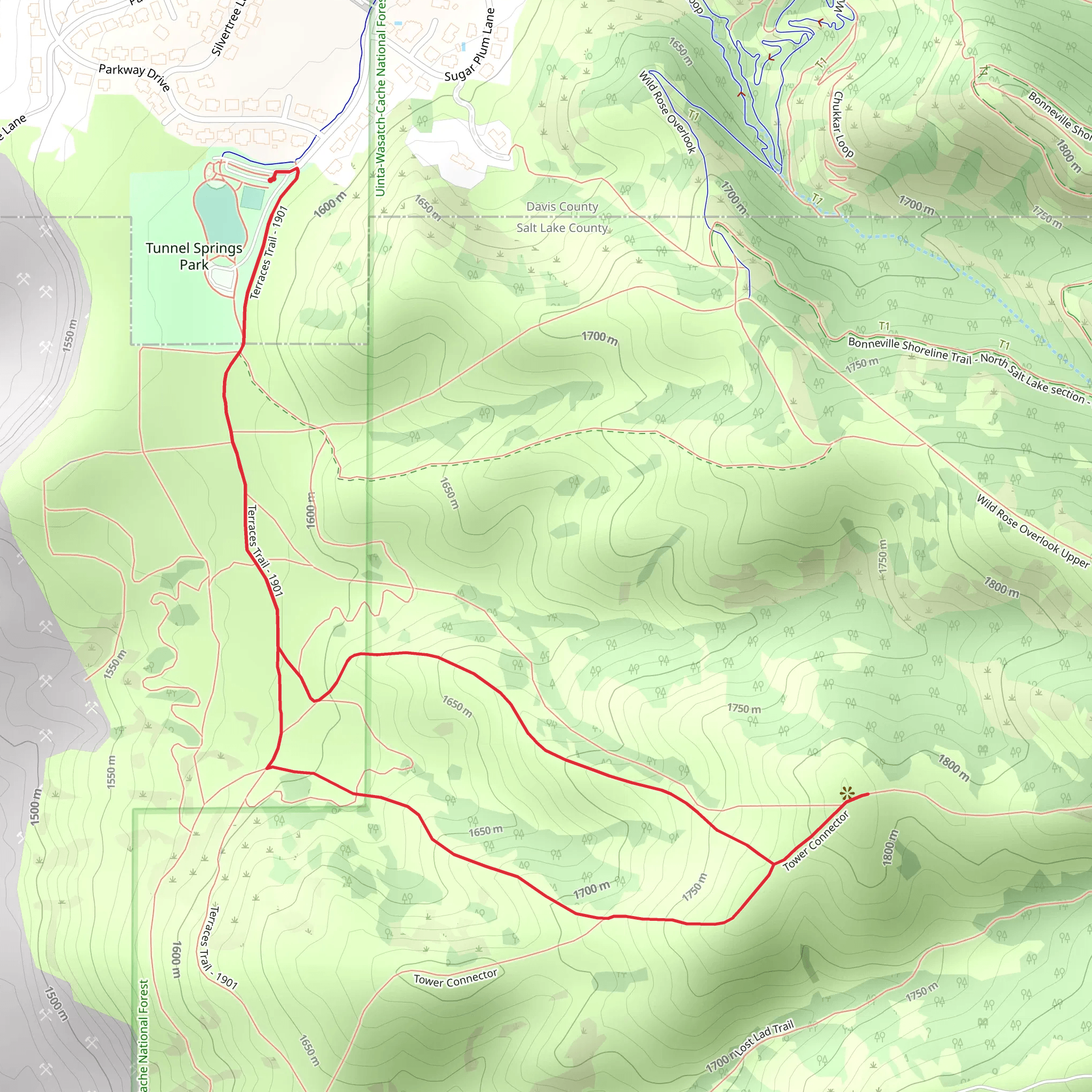
Starting near Davis County, Utah, the Terraces Trail and Tower Connector Loop is a scenic 4 km (2.5 miles) loop with an elevation gain of approximately 200 meters (656 feet). This trail is rated as medium difficulty, making it suitable for moderately experienced hikers looking for a rewarding adventure.### Getting There To reach the trailhead, you can drive or use public transportation. If driving, head towards the nearest known landmark, the Mueller Park Picnic Area, located at 900 Mueller Park Rd, Bountiful, UT 84010. From there, it's a short drive to the trailhead. For those using public transport, take a bus to the Bountiful area and then a taxi or rideshare service to the Mueller Park Picnic Area.### Trail Overview The trail begins with a gentle ascent through a lush forest of pine and aspen trees. Early on, you'll notice the serene sounds of the nearby creek, which adds a calming ambiance to your hike. The first kilometer (0.6 miles) is relatively easy, with an elevation gain of about 50 meters (164 feet), making it a good warm-up for the more challenging sections ahead.### Significant Landmarks and Nature As you progress, you'll come across the first significant landmark, the Terraces, around the 1.5 km (0.9 miles) mark. These natural rock formations offer a great spot for a short break and some photography. The elevation gain here is more noticeable, adding another 75 meters (246 feet) to your climb.Continuing on, the trail becomes steeper and more rugged. Around the 2.5 km (1.6 miles) point, you'll reach the Tower Connector, a historical fire lookout tower that dates back to the early 20th century. This tower was used to spot wildfires in the surrounding forest and offers panoramic views of the Davis County area. The elevation gain here is another 75 meters (246 feet), bringing you to the highest point of the trail.### Wildlife and Flora The area is rich in wildlife, so keep an eye out for deer, squirrels, and various bird species. The flora is equally diverse, with wildflowers blooming in the spring and summer months, adding vibrant colors to the landscape.### Navigation and Safety For navigation, it's highly recommended to use the HiiKER app, which provides detailed maps and real-time updates. The trail is well-marked, but having a reliable navigation tool ensures you stay on track.### Final Stretch The descent begins after the Tower Connector, leading you back through the forest. The final 1.5 km (0.9 miles) is a gentle downhill walk, allowing you to cool down and enjoy the natural beauty of the area. The total elevation loss mirrors the gain, making the loop a balanced and enjoyable hike.This trail offers a mix of natural beauty, historical significance, and moderate physical challenge, making it a must-visit for hikers in the Davis County area.
What to expect?
Activity types
Comments and Reviews
User comments, reviews and discussions about the Terraces Trail and Tower Connector Loop, Utah.
4.58
average rating out of 5
24 rating(s)
