Download
Preview
Add to list
More
5.8 km
~1 hrs 9 min
3 m
Point-to-Point
“The Syracuse Trail offers a flat, scenic 6-kilometer hike through diverse landscapes and rich historical sites.”
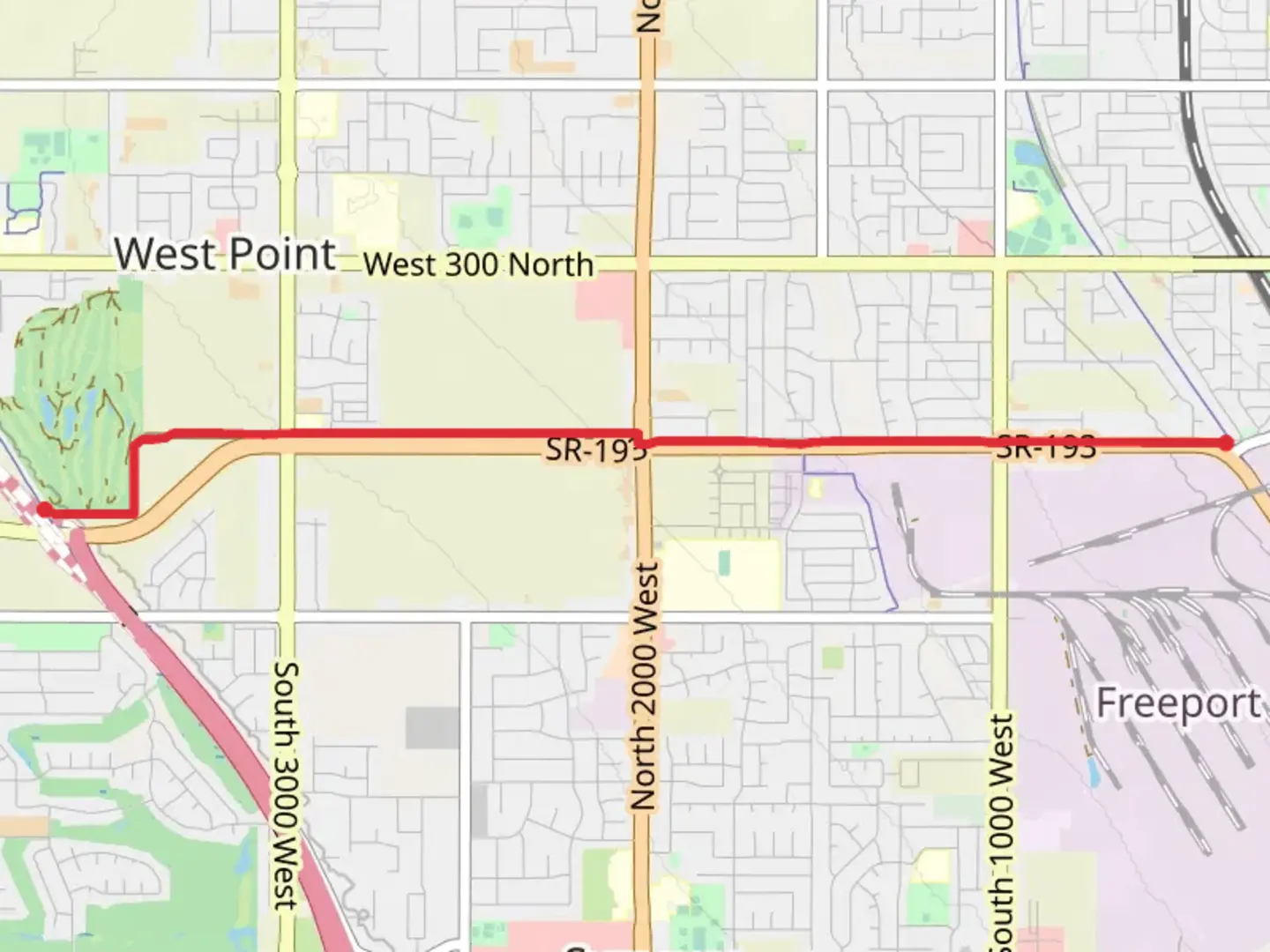
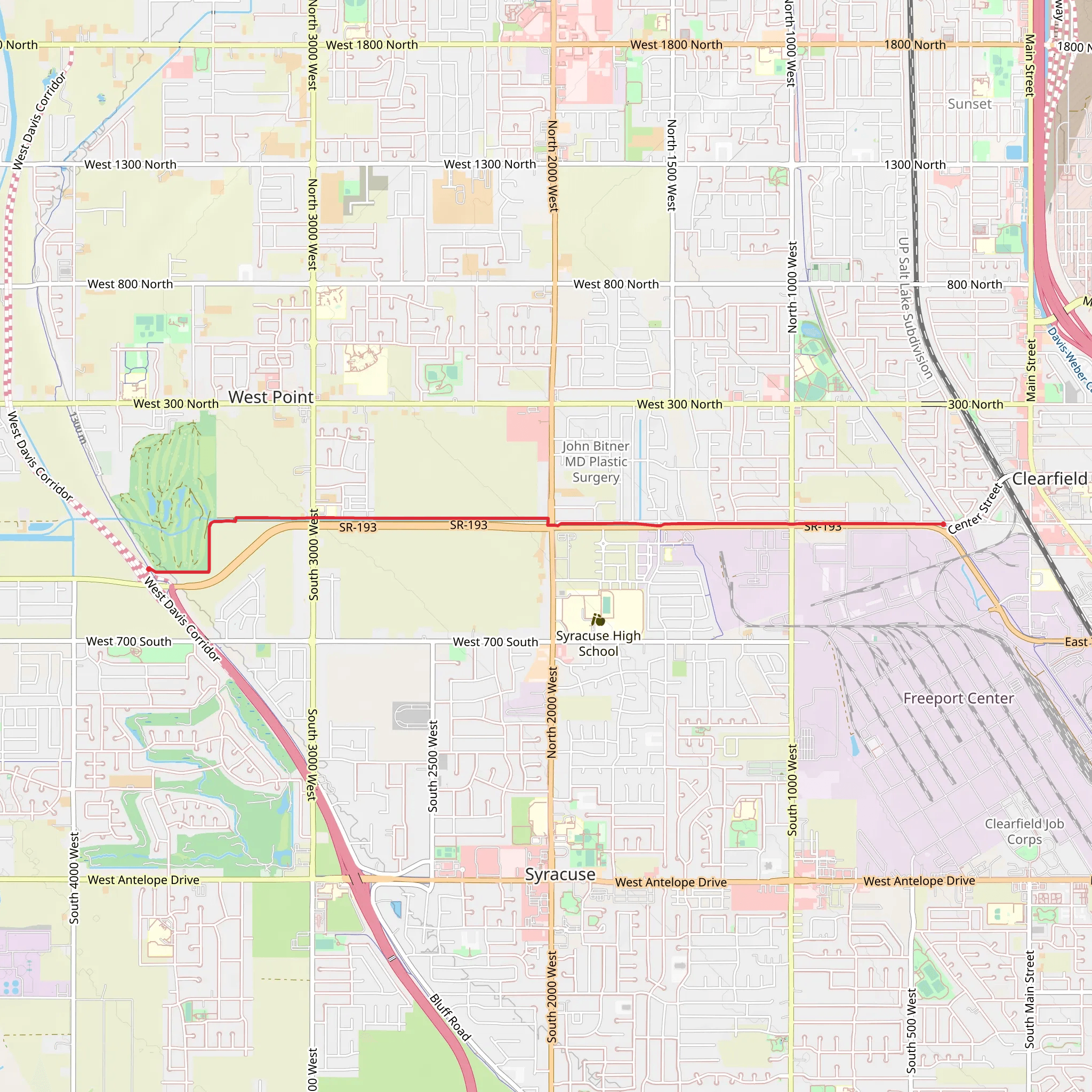
Starting near Davis County, Utah, the Syracuse Trail is a point-to-point hike stretching approximately 6 kilometers (around 3.7 miles) with no significant elevation gain, making it a relatively flat and accessible trail. The trailhead is conveniently located near the Syracuse City Hall, which serves as a recognizable landmark for those driving or using public transport.
Getting There For those driving, you can park at the Syracuse City Hall parking lot. If you're using public transport, the Utah Transit Authority (UTA) offers bus services that stop near the City Hall, making it easy to reach the trailhead without a car.
Trail Overview The Syracuse Trail is estimated to be of medium difficulty, primarily due to its length rather than any challenging terrain. The trail is well-marked and maintained, making navigation straightforward. For those who prefer digital navigation tools, HiiKER is an excellent resource to use for real-time trail information and maps.
Landmarks and Points of Interest As you begin your hike, you'll notice the trail meanders through a mix of suburban and natural landscapes. Early on, you'll pass through local parks and residential areas, offering a glimpse into the community life of Syracuse. About 1 kilometer (0.6 miles) in, you'll encounter the Jensen Nature Park, a serene spot perfect for a short break. The park features a pond, picnic areas, and a variety of bird species, making it a great place for birdwatching.
Continuing along the trail, you'll traverse open fields and wetlands. These areas are rich in wildlife, including deer, rabbits, and various bird species. Keep an eye out for the interpretive signs along the way that provide information about the local flora and fauna.
Historical Significance The region around Syracuse has a rich history tied to early Mormon settlers and Native American tribes. As you hike, you'll come across several historical markers that offer insights into the area's past. Approximately 4 kilometers (2.5 miles) into the hike, you'll find a marker detailing the history of the Syracuse Canal, an essential waterway for early settlers.
Final Stretch The last section of the trail leads you through more open fields before concluding near the Antelope Island Causeway. This area offers stunning views of the Great Salt Lake and Antelope Island, making it a picturesque end to your hike. If you have time, consider extending your adventure by exploring the causeway or even visiting Antelope Island State Park.
Wildlife and Nature Throughout the hike, you'll be surrounded by diverse ecosystems, from wetlands to open fields. The trail is particularly beautiful in the spring and fall when the foliage changes color and migratory birds are most active. Be sure to bring binoculars if you're a bird enthusiast.
Preparation Tips Given the flat terrain, this trail is suitable for hikers of all levels, but it's always wise to bring plenty of water, especially during the hotter months. Comfortable walking shoes are recommended, and don't forget sunscreen and a hat for sun protection. The trail can be quite exposed in some sections, so weather-appropriate clothing is essential.
Using HiiKER will help you stay on track and provide additional information about the trail conditions and any potential hazards. Enjoy your hike on the Syracuse Trail, a perfect blend of natural beauty and historical intrigue.
What to expect?
Activity types
Comments and Reviews
User comments, reviews and discussions about the Syracuse Trail, Utah.
4.58
average rating out of 5
12 rating(s)
