Download
Preview
Add to list
More
2.3 km
~30 min
26 m
Loop
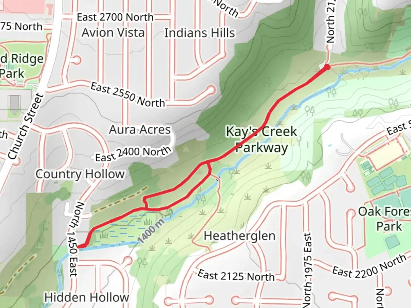
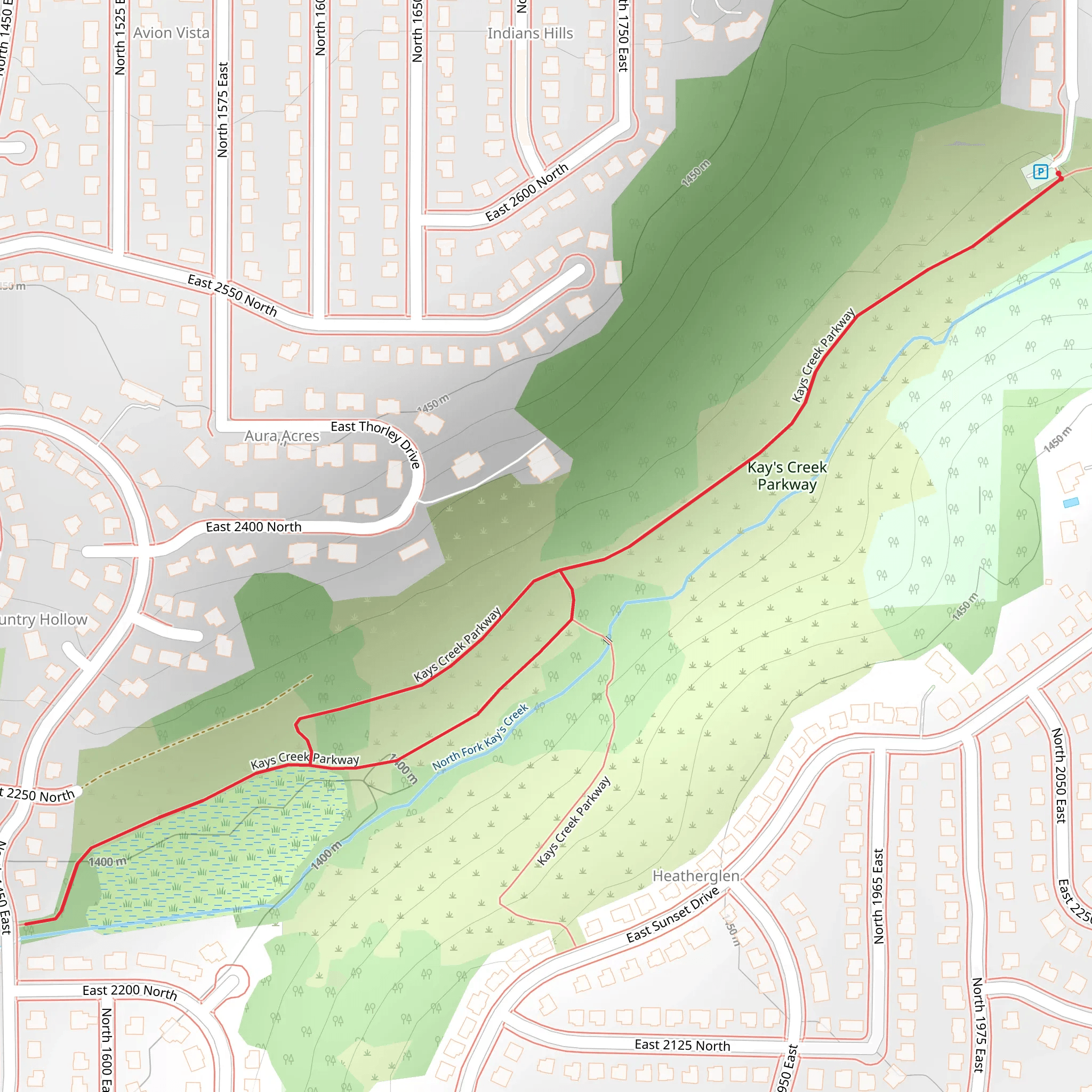
“Explore the scenic Kays Creek Parkway Loop, a 2 km hike rich in wildlife and historical significance.”
Nestled near Davis County, Utah, the Kays Creek Parkway Loop offers a delightful 2 km (1.24 miles) hike with virtually no elevation gain, making it accessible for a wide range of hikers. This loop trail is estimated to be of medium difficulty, providing a pleasant yet engaging experience for those looking to explore the natural beauty of the area.
Getting There To reach the trailhead, you can drive or use public transportation. If driving, head towards Layton, Utah, and look for the Kays Creek Parkway near the intersection of East Gentile Street and North Fairfield Road. For those using public transport, the nearest significant landmark is Layton Station, which is serviced by the FrontRunner commuter train. From Layton Station, you can take a local bus or a short taxi ride to the trailhead.
Trail Navigation For navigation, it’s highly recommended to use the HiiKER app, which provides detailed maps and real-time updates to ensure you stay on track throughout your hike.
What to Expect The Kays Creek Parkway Loop meanders through a serene landscape, offering a mix of shaded areas and open spaces. The trail is well-maintained and clearly marked, making it easy to follow. As you embark on this loop, you’ll encounter a variety of natural features and landmarks.
Significant Landmarks and Nature - **Kays Creek**: The trail runs parallel to Kays Creek for a significant portion, providing a soothing soundtrack of flowing water. This creek is a great spot for birdwatching, so keep your binoculars handy. - **Wetlands**: Approximately 0.5 km (0.31 miles) into the hike, you’ll come across a section of wetlands. This area is rich in biodiversity, home to various species of birds, amphibians, and small mammals. - **Woodland Areas**: The trail also takes you through patches of woodland, where you can enjoy the shade of cottonwood and willow trees. These areas are particularly beautiful in the fall when the leaves change color.
Wildlife The Kays Creek Parkway Loop is a haven for wildlife enthusiasts. You might spot deer, rabbits, and a variety of bird species, including hawks and herons. Early morning or late afternoon hikes offer the best chances for wildlife sightings.
Historical Significance The region around Kays Creek has a rich history. The creek itself was named after William Kay, an early settler in the area. The trail passes through lands that were once used by Native American tribes and later by pioneers who settled in Davis County. As you hike, you might come across informational plaques that provide insights into the historical significance of the area.
Practical Tips - **Footwear**: Wear sturdy hiking shoes, as some sections of the trail can be uneven. - **Water**: Bring enough water, especially during the warmer months, as there are no water sources along the trail. - **Weather**: Check the weather forecast before heading out. The trail can be muddy after rain, so plan accordingly. - **Leave No Trace**: Be mindful of the environment. Carry out all trash and respect the natural habitat.
The Kays Creek Parkway Loop offers a perfect blend of natural beauty, wildlife, and historical significance, making it a rewarding hike for both novice and experienced hikers alike.
What to expect?
Activity types
Comments and Reviews
User comments, reviews and discussions about the Kays Creek Parkway Loop, Utah.
4.48
average rating out of 5
27 rating(s)
