Download
Preview
Add to list
More
7.3 km
~1 hrs 44 min
177 m
Loop
“Kays Creek Parkway offers a scenic 7 km loop with diverse landscapes, historical insights, and wildlife encounters.”
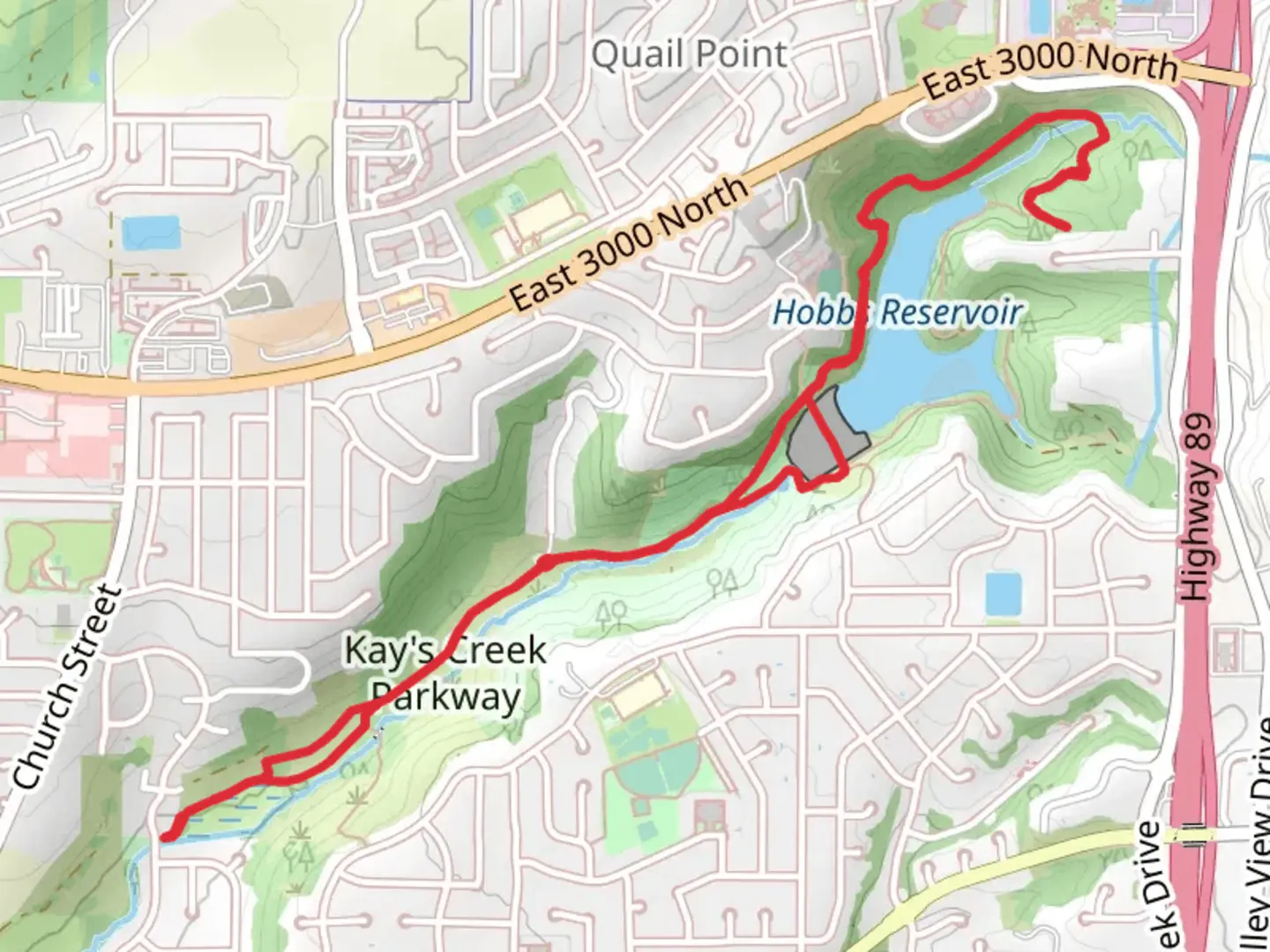
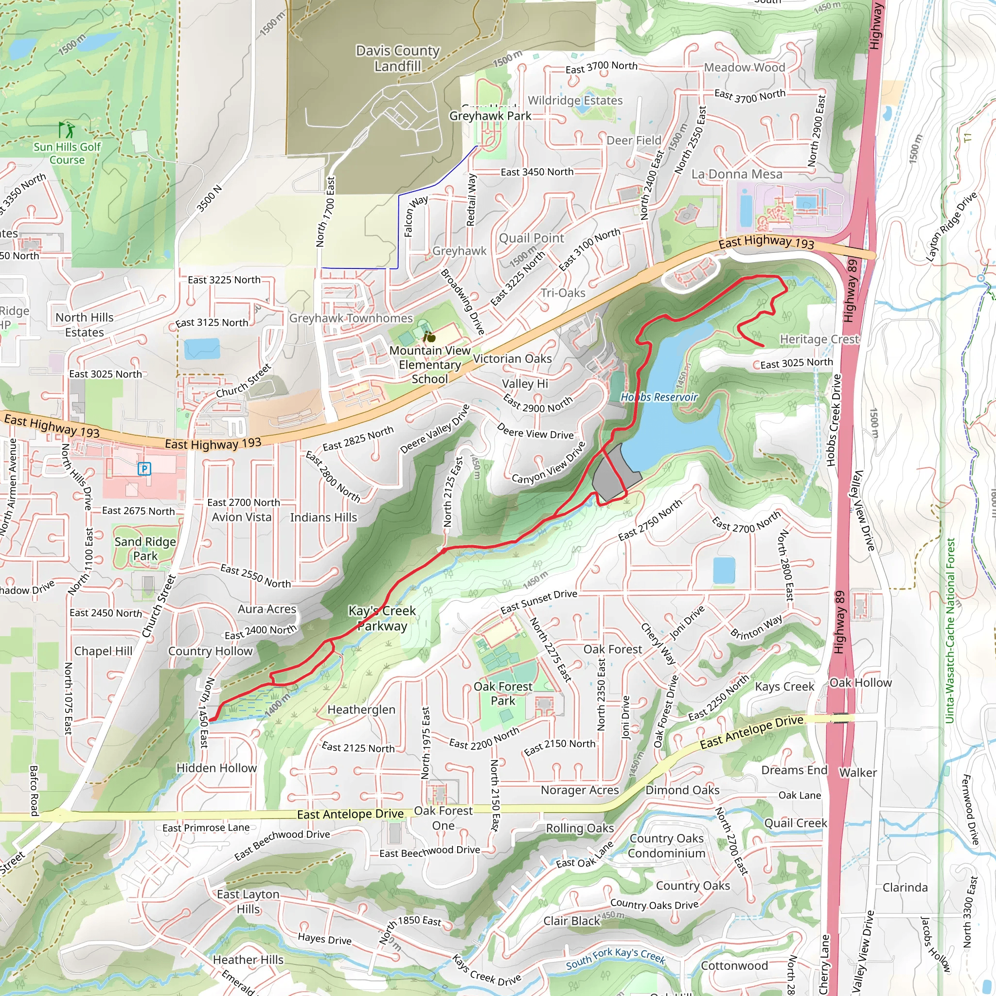
Starting near Davis County, Utah, the Kays Creek Parkway trail is a delightful 7 km (4.3 miles) loop with an elevation gain of approximately 100 meters (328 feet). This medium-difficulty trail offers a mix of natural beauty, historical significance, and convenient access, making it a great choice for both novice and experienced hikers.### Getting There To reach the trailhead, you can drive or use public transport. If driving, set your GPS to the nearest known address: 2000 E 2125 N, Layton, UT 84040. There is ample parking available near the trailhead. For those using public transport, the Utah Transit Authority (UTA) offers bus services that can get you close to the starting point. Check the UTA website for the latest schedules and routes.### Trail Navigation For navigation, it's highly recommended to use the HiiKER app, which provides detailed maps and real-time updates. This will help you stay on track and make the most of your hike.### Trail Highlights The trail begins with a gentle ascent, offering a gradual introduction to the elevation gain. As you progress, you'll encounter a variety of landscapes, from open meadows to dense woodlands. About 1.5 km (0.9 miles) in, you'll come across a small pond, a perfect spot for a quick rest and some bird-watching. Keep an eye out for local wildlife such as deer, rabbits, and a variety of bird species.### Historical Significance Kays Creek Parkway is not just a natural haven; it also holds historical significance. The area was originally inhabited by the Shoshone people before European settlers arrived in the mid-19th century. As you hike, you'll notice several informational plaques that provide insights into the history and culture of the region. These are located at approximately 3 km (1.9 miles) and 5 km (3.1 miles) into the trail.### Key Landmarks - Pond (1.5 km / 0.9 miles): A serene spot ideal for a short break. - Historical Plaques (3 km / 1.9 miles and 5 km / 3.1 miles): Informative stops that offer a glimpse into the area's past. - Scenic Overlook (4 km / 2.5 miles): Offers panoramic views of the surrounding landscape, perfect for photography.### Flora and Fauna The trail is rich in diverse plant life, including wildflowers, oak, and maple trees. During spring and summer, the meadows are awash with colorful blooms, making it a picturesque hike. Wildlife is abundant, so keep your camera ready for unexpected encounters.### Final Stretch The last 2 km (1.2 miles) of the trail are relatively flat, allowing for a leisurely finish. This section winds through a shaded forest area, providing a cool and relaxing end to your hike. ### Preparation Tips - Footwear: Sturdy hiking boots are recommended due to the varied terrain. - Water: Carry at least 1-2 liters of water, especially during warmer months. - Weather: Check the weather forecast before heading out, as conditions can change rapidly. - Navigation: Use the HiiKER app for real-time trail updates and navigation.Enjoy your hike on the Kays Creek Parkway, where natural beauty and historical richness combine to offer a memorable outdoor experience.
What to expect?
Activity types
Comments and Reviews
User comments, reviews and discussions about the Kays Creek Parkway, Utah.
4.33
average rating out of 5
15 rating(s)
