Download
Preview
Add to list
More
11.8 km
~3 hrs 0 min
395 m
Loop
“Experience a 12 km journey through breathtaking landscapes, historic ruins, and diverse wildlife on Gold Hill Trail.”
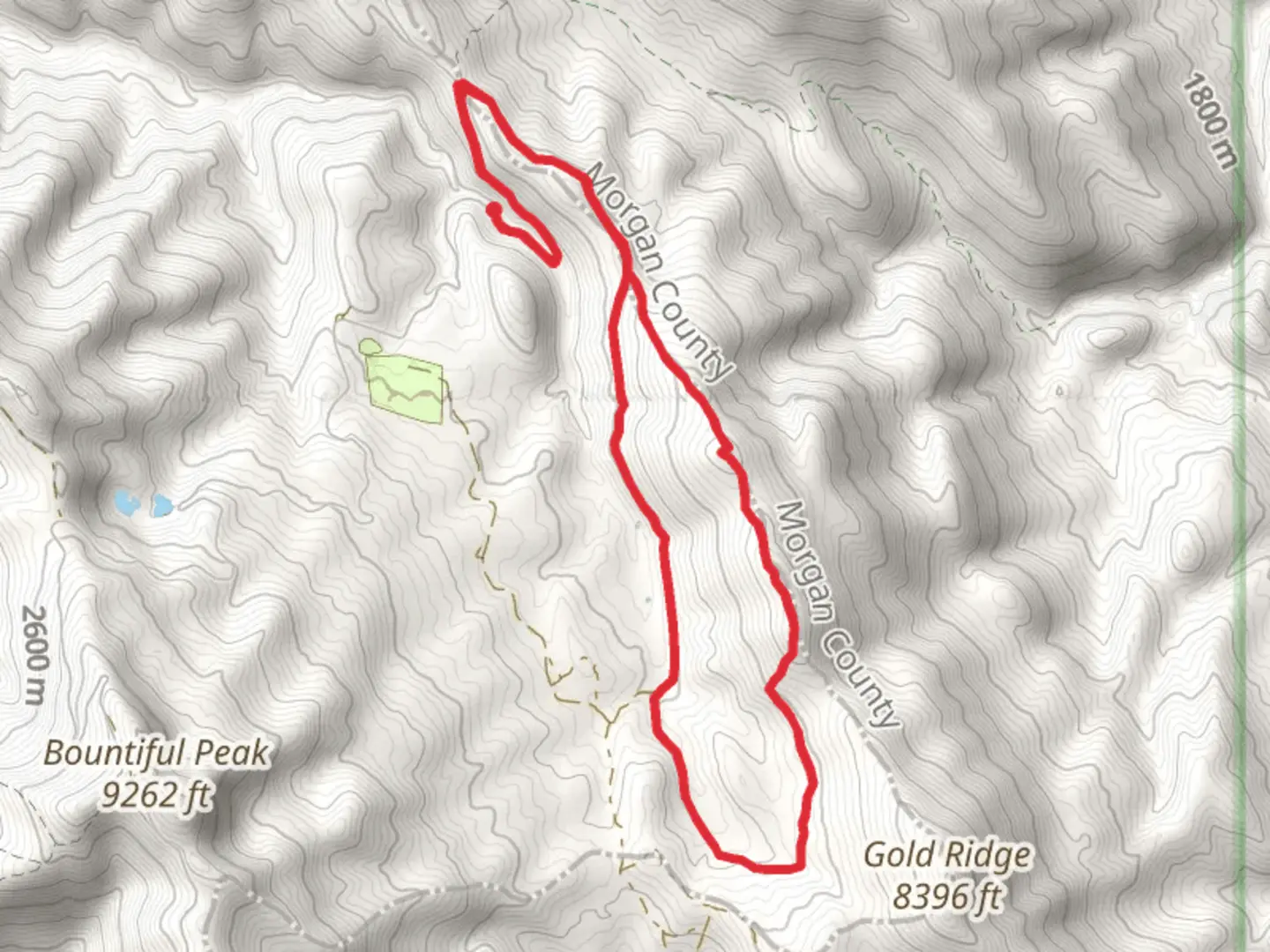
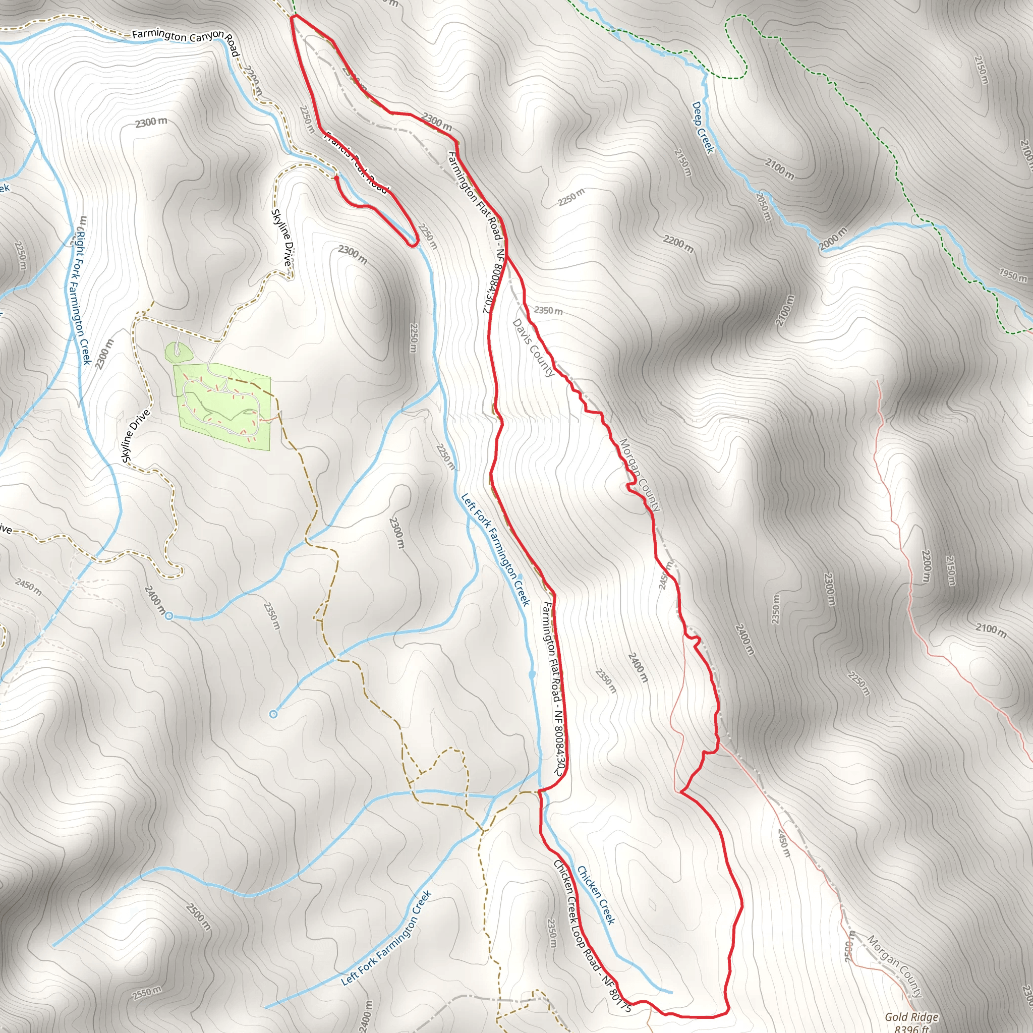
Starting near Davis County, Utah, the Gold Hill Trail and Francis Peak Road Loop is a captivating 12 km (7.5 miles) loop trail with an elevation gain of approximately 300 meters (984 feet). This trail offers a moderate challenge, making it suitable for hikers with some experience.
Getting There To reach the trailhead, you can drive or use public transport. If driving, head towards the nearest significant landmark, which is the Francis Peak Radar Domes. From there, follow the local roads to the trailhead. For those using public transport, the nearest bus stop is in Farmington, Utah. From Farmington, you can take a taxi or rideshare service to the trailhead.
Trail Overview The trail begins with a gentle ascent through a mixed forest of pine and aspen trees. Early in the hike, you’ll encounter a series of switchbacks that gradually increase in steepness. After about 2 km (1.2 miles), you’ll reach a plateau offering panoramic views of the Wasatch Range and the Great Salt Lake.
Significant Landmarks At approximately 4 km (2.5 miles), you’ll come across the remnants of old mining operations, a nod to the area's rich history during the gold rush era. These ruins provide a fascinating glimpse into the past and are a great spot for a short break and some photos.
Nature and Wildlife As you continue, the trail meanders through alpine meadows filled with wildflowers during the spring and summer months. Keep an eye out for local wildlife, including mule deer, elk, and various bird species. The area is also known for its vibrant fall foliage, making it a picturesque hike during autumn.
Navigation Navigating the trail is straightforward, but it’s always wise to have a reliable navigation tool. HiiKER is an excellent app for this purpose, providing detailed maps and real-time GPS tracking to ensure you stay on course.
Elevation and Terrain The trail’s highest point is reached around the 6 km (3.7 miles) mark, where you’ll find yourself at an elevation of roughly 2,500 meters (8,202 feet). From here, the trail descends gradually, offering more stunning views and a chance to spot additional wildlife.
Historical Significance The region has a rich history tied to the early settlers and miners who sought fortune in the hills. The old mining structures you’ll encounter are a testament to the area’s past economic activities and provide a tangible connection to the history of the American West.
Final Stretch As you near the end of the loop, the trail winds back through dense forest, eventually leading you back to the trailhead. This final section is relatively easy, allowing you to cool down and reflect on the diverse landscapes and historical landmarks you’ve encountered.
This trail offers a well-rounded hiking experience with a mix of natural beauty, wildlife, and historical intrigue, making it a must-visit for those in the Davis County area.
What to expect?
Activity types
Comments and Reviews
User comments, reviews and discussions about the Gold Hill Trail and Francis Peak Road Loop, Utah.
4.47
average rating out of 5
15 rating(s)
