Download
Preview
Add to list
More
17.6 km
~1 day 1 hrs
1536 m
Out and Back
“Embark on the challenging Francis Peak Trail for breathtaking views, rich history, and diverse wildlife near Davis County, Utah.”
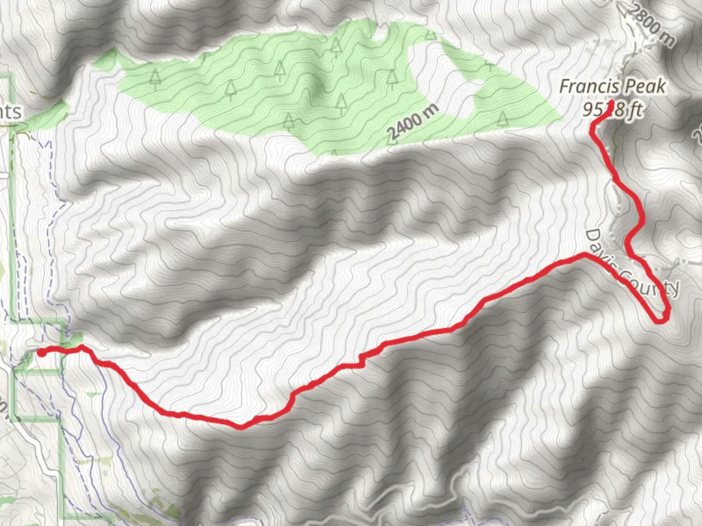
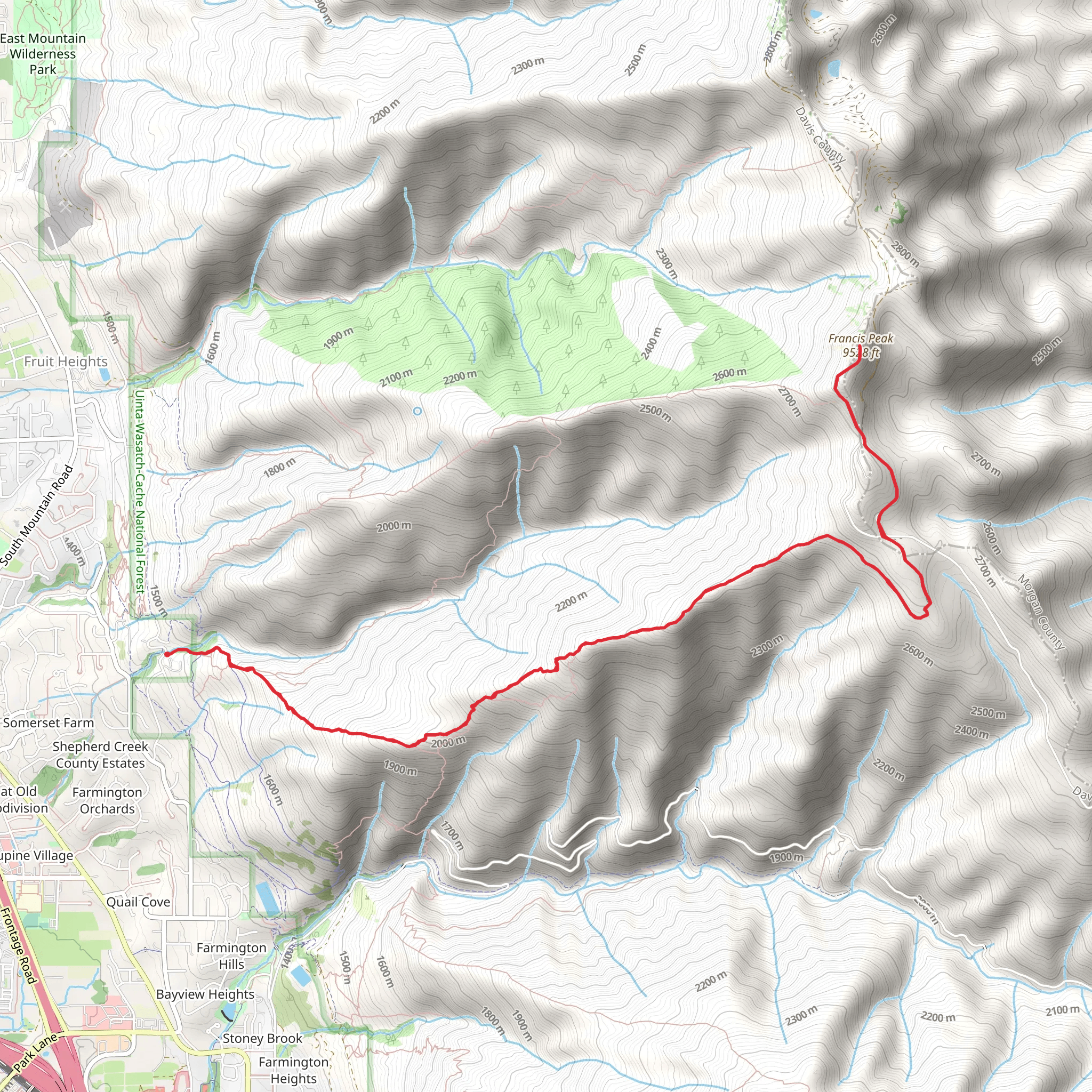
Starting your adventure near Davis County, Utah, the Francis Peak Trail offers a challenging yet rewarding experience. This out-and-back trail spans approximately 18 kilometers (11.2 miles) with an elevation gain of around 1500 meters (4921 feet). The trailhead is conveniently located near the Francis Peak Radar Domes, a notable landmark that can be easily reached by car or public transport.
Getting There To reach the trailhead, you can drive from Salt Lake City, which is about a 45-minute journey. Head north on I-15 and take exit 322 for US-89 North toward South Weber. Continue on US-89 North and take the exit toward Farmington Canyon. Follow Farmington Canyon Road until you reach the trailhead near the Francis Peak Radar Domes. For those using public transport, take the FrontRunner train to Farmington Station and then a local taxi or rideshare service to the trailhead.
Trail Overview The trail begins with a steady ascent through a mixed forest of pine and aspen trees. The initial 3 kilometers (1.9 miles) are relatively moderate, gaining about 300 meters (984 feet) in elevation. As you progress, the trail becomes steeper and more rugged, requiring careful footing and a good level of fitness.
Significant Landmarks Around the 5-kilometer (3.1-mile) mark, you'll encounter a scenic overlook that provides stunning views of the Great Salt Lake and the surrounding valleys. This is a great spot to take a break and hydrate. Continuing onward, the trail winds through alpine meadows filled with wildflowers during the summer months. Keep an eye out for local wildlife such as mule deer, elk, and various bird species.
Historical Significance Francis Peak is named after Francis Armstrong, an early settler and prominent figure in Utah's history. The radar domes at the summit were constructed during the Cold War and are part of the United States Air Force's early warning defense system. These domes are not only historical landmarks but also offer panoramic views of the Wasatch Range and beyond.
Final Ascent The final 3 kilometers (1.9 miles) to the summit are the most challenging, with an elevation gain of approximately 600 meters (1968 feet). The trail becomes rocky and exposed, so be prepared for strong winds and varying weather conditions. Upon reaching the summit, you'll be rewarded with breathtaking 360-degree views that make the strenuous climb worthwhile.
Navigation and Safety Given the trail's complexity, it's advisable to use a reliable navigation tool like HiiKER to stay on course. The trail is well-marked, but weather conditions can change rapidly, so always check the forecast before heading out. Carry sufficient water, snacks, and layers of clothing to adapt to the changing temperatures.
Return Journey The descent follows the same path back to the trailhead, offering a different perspective of the landscape. Take your time to enjoy the scenery and ensure you have enough daylight for the return trip.
This trail is best hiked from late spring to early fall when the weather is most favorable. Always practice Leave No Trace principles to preserve the natural beauty of the area for future hikers.
What to expect?
Activity types
Comments and Reviews
User comments, reviews and discussions about the Francis Peak Trail, Utah.
4.56
average rating out of 5
18 rating(s)
