Download
Preview
Add to list
More
6.2 km
~2 hrs 15 min
618 m
Out and Back
“Embark on a scenic, invigorating hike to Flag Rock, where history meets panoramic splendor.”
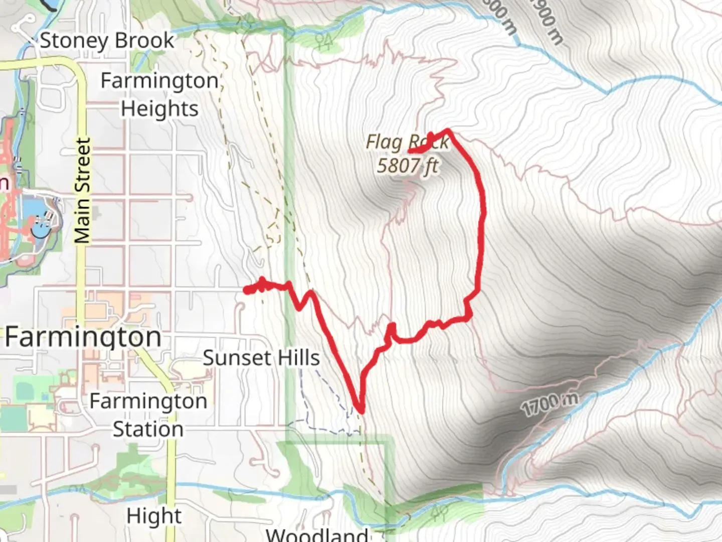
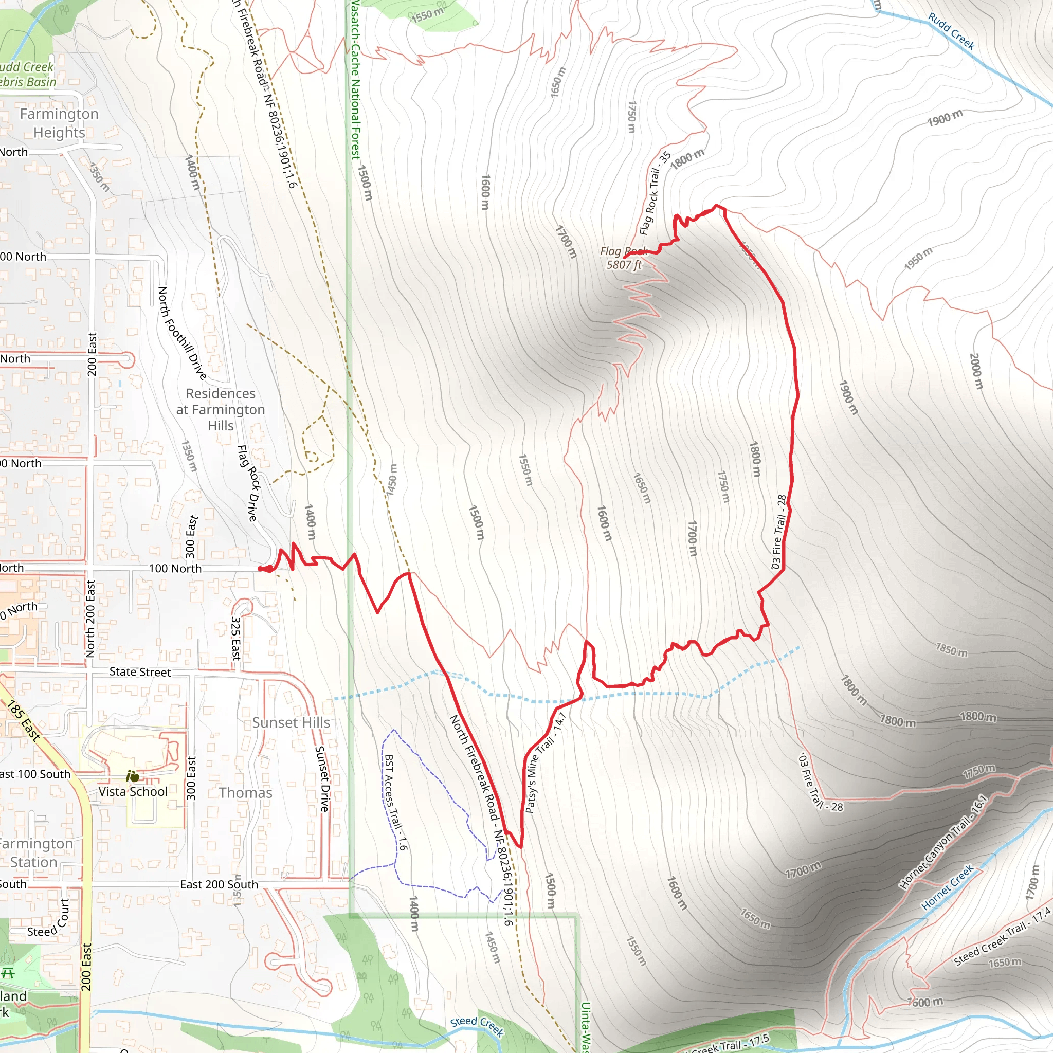
The Flag Rock via Fire Trail is a moderately challenging hike located near Davis County, Utah, offering a blend of scenic views and a good workout. Spanning approximately 6 km (about 3.7 miles) with an elevation gain of around 600 meters (nearly 2000 feet), this out-and-back trail is a popular choice for those looking to immerse themselves in nature without venturing too far from urban areas.
Getting to the Trailhead To reach the trailhead, hikers can drive to the designated parking area located near Farmington Canyon. If you're using public transportation, check the local schedules for buses that get you closest to the canyon, and then you may need to arrange a taxi or rideshare for the final stretch to the trailhead.
The Hike Itself The journey begins with a steady incline as you make your way up the Fire Trail. The path is well-maintained, but it's important to wear proper hiking boots as the terrain can be rocky and uneven in places. As you ascend, you'll be treated to the sight of local flora, including scrub oak, pines, and wildflowers in the spring and summer months.
Approximately 2 km (1.2 miles) into the hike, you'll encounter a clearing that offers the first panoramic view of the Great Salt Lake and the surrounding valley. It's a great spot to take a short break and capture some photos.
Continuing on, the trail becomes slightly steeper and more rugged. At around the 3 km (1.9 miles) mark, you'll reach Flag Rock, which is a notable landmark and also the turnaround point of the hike. The rock is named for the American flag that is often placed there, making it a patriotic symbol for locals. From this vantage point, you'll enjoy expansive views that are particularly breathtaking at sunset.
Wildlife and Nature Keep an eye out for local wildlife, including deer, hawks, and the occasional mountain lion. Always maintain a safe distance from any wildlife you encounter and be sure to pack out all your trash to preserve the natural habitat.
Historical Significance The area around Davis County is rich in history, with ties to the early settlement of Utah and the development of the Transcontinental Railroad. While the trail itself may not have significant historical landmarks, the region is a testament to the pioneering spirit of the American West.
Navigation For those looking to navigate the trail, HiiKER is a useful tool to download maps and ensure you stay on the correct path. It's always a good idea to have a digital or physical map with you, as cell service can be spotty in the mountains.
Preparation and Safety Before setting out, make sure to check the weather conditions and dress appropriately. The elevation gain can make the temperature cooler at the top, so layers are recommended. Also, carry plenty of water, snacks, and a first aid kit. It's important to let someone know your hiking plans and expected return time, especially if you're hiking alone.
Remember, the Flag Rock via Fire Trail is a rewarding hike that offers a bit of everything: exercise, natural beauty, and a touch of history. With the right preparation and respect for the environment, it's an enjoyable outing for hikers of all levels.
What to expect?
Activity types
Comments and Reviews
User comments, reviews and discussions about the Flag Rock via Fire Trail, Utah.
4.35
average rating out of 5
20 rating(s)
