Download
Preview
Add to list
More
4.6 km
~1 hrs 43 min
491 m
Out and Back
“The Fernwood Trail is a moderately challenging hike with stunning views and rich historical significance.”
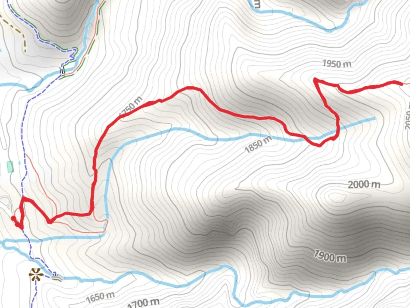
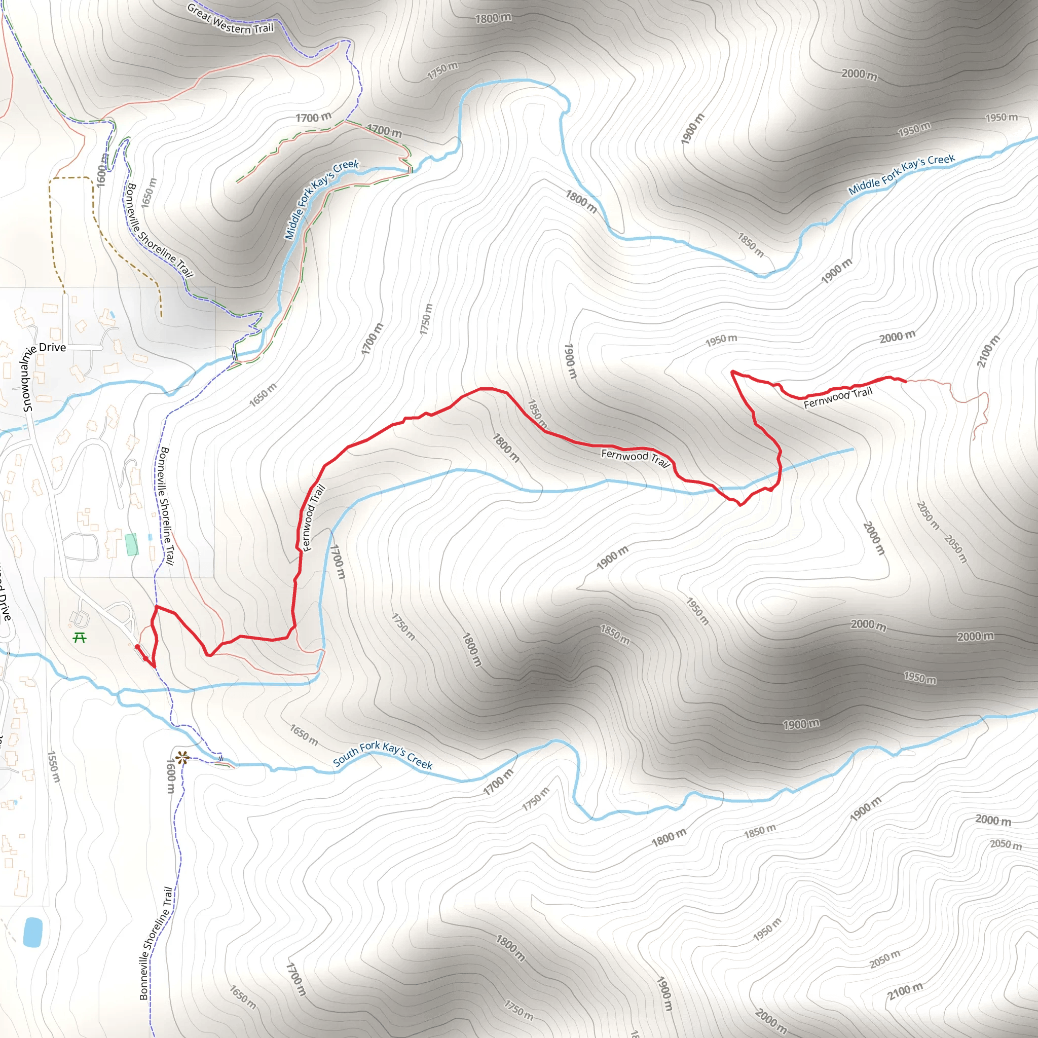
Starting near Davis County, Utah, the Fernwood Trail is an invigorating out-and-back hike that spans approximately 5 kilometers (3.1 miles) with an elevation gain of around 400 meters (1,312 feet). This trail is rated as medium difficulty, making it suitable for moderately experienced hikers looking for a rewarding challenge.
Getting There
To reach the trailhead, you can drive or use public transportation. If driving, head towards Davis County and look for parking near the Fernwood Recreation Site. For those using public transport, the nearest significant landmark is the Layton Hills Mall. From there, you can take a local taxi or rideshare service to the trailhead.
Trail Overview
The Fernwood Trail begins with a gentle ascent through a lush forested area, where you'll be greeted by the soothing sounds of a nearby creek. The initial 1 kilometer (0.6 miles) is relatively easy, allowing you to warm up as you navigate through a canopy of oak and maple trees.
Significant Landmarks and Nature
As you progress, the trail becomes steeper, and you'll encounter a series of switchbacks. Around the 2-kilometer (1.2-mile) mark, you'll reach a scenic overlook that offers panoramic views of the Great Salt Lake and the surrounding valleys. This is a perfect spot for a short break and some photography.
Continuing onward, the trail narrows and becomes rockier. Keep an eye out for local wildlife, including mule deer and various bird species. The flora also changes, with more coniferous trees like pines and firs making an appearance.
Historical Significance
The region around Davis County has a rich history, with Native American tribes such as the Shoshone and Ute having inhabited the area for centuries. The trail itself was used by early settlers and pioneers as a route to explore the Wasatch Mountains. You might even come across some old, weathered markers or remnants of early 20th-century logging activities.
Final Stretch
The last kilometer (0.6 miles) of the trail is the most challenging, with a steep incline that will test your endurance. However, the effort is well worth it as you reach the summit, where you'll be rewarded with breathtaking views of the Wasatch Range. This is an excellent spot to rest, enjoy a snack, and take in the natural beauty before heading back down.
Navigation and Safety
For navigation, it's highly recommended to use the HiiKER app, which provides detailed maps and real-time updates. Make sure to carry enough water, wear sturdy hiking boots, and be prepared for sudden weather changes, as the higher elevations can be unpredictable.
The Fernwood Trail offers a perfect blend of natural beauty, moderate challenge, and historical intrigue, making it a must-visit for any hiking enthusiast.
What to expect?
Activity types
Comments and Reviews
User comments, reviews and discussions about the Fernwood Trail, Utah.
4.53
average rating out of 5
15 rating(s)
