Download
Preview
Add to list
More
10.5 km
~3 hrs 2 min
565 m
Out and Back
“Embark on the invigorating Ensign Peak via Terraces Trail for panoramic views and historic landmarks.”
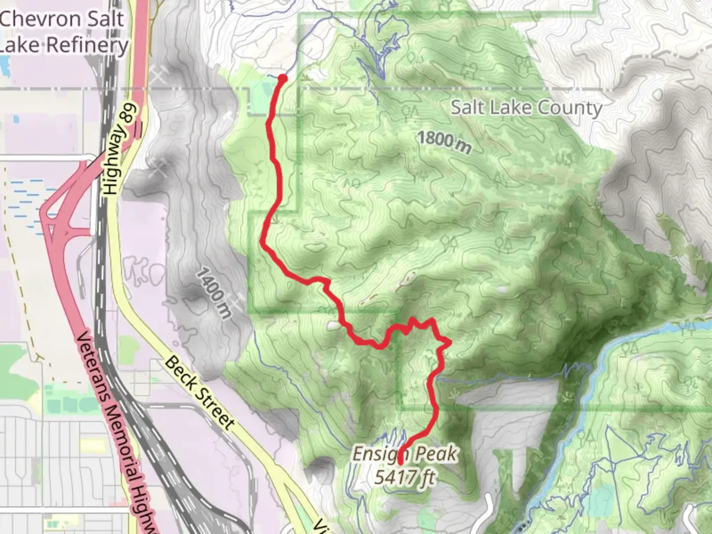
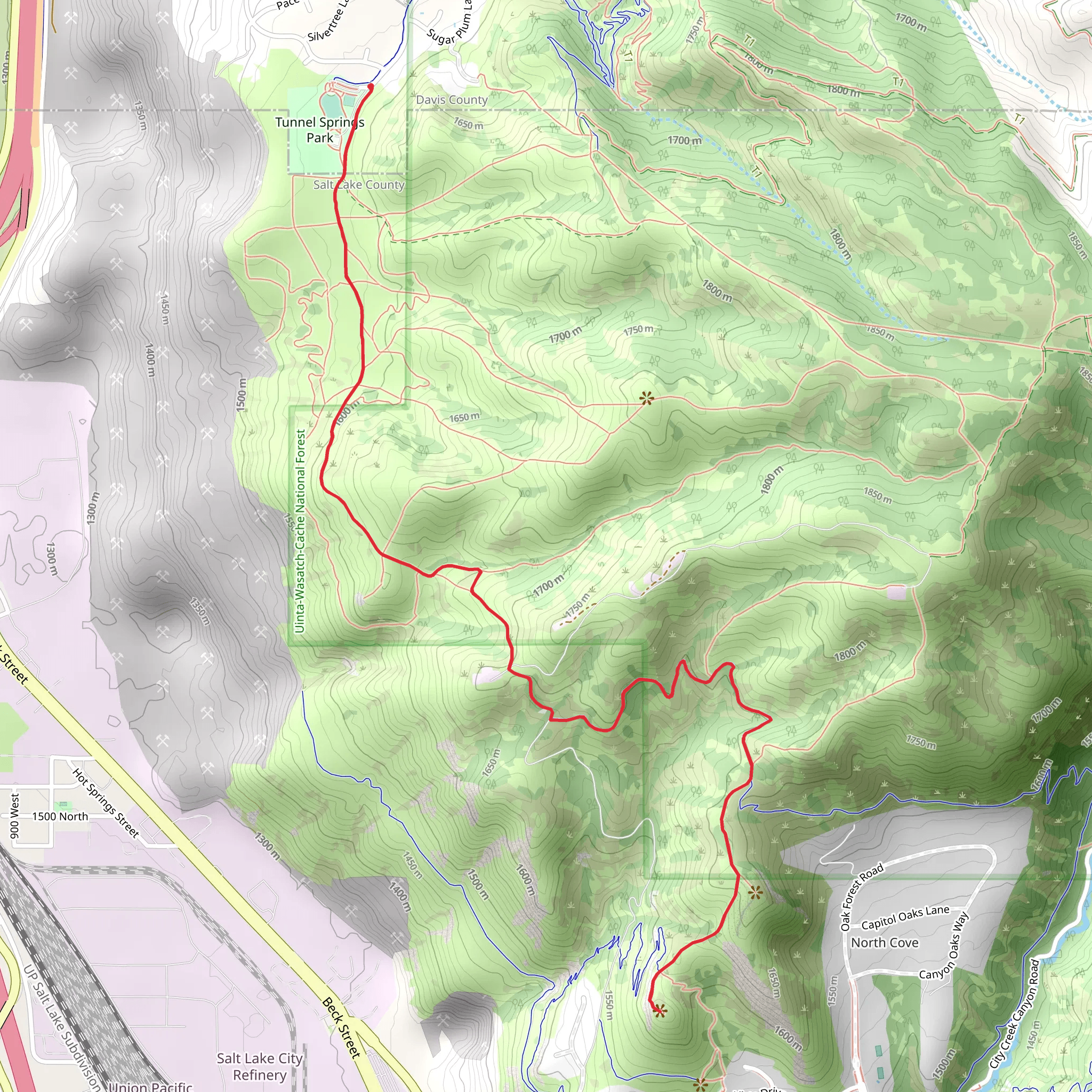
Starting near Davis County, Utah, the Ensign Peak via Terraces Trail is an invigorating out-and-back hike that spans approximately 10 kilometers (6.2 miles) with an elevation gain of around 500 meters (1,640 feet). This trail offers a moderate challenge, making it suitable for hikers with some experience.
Getting There To reach the trailhead, you can drive or use public transportation. If driving, head towards the Terrace Hills Drive in Salt Lake City, which is the nearest known address. For those using public transport, the Utah Transit Authority (UTA) offers bus services that can get you close to the starting point. From downtown Salt Lake City, you can take a bus to the intersection of 11th Avenue and Terrace Hills Drive, and then walk a short distance to the trailhead.
Trail Overview The trail begins with a steady ascent through a mix of scrub oak and sagebrush, typical of the Wasatch Range foothills. Early on, you'll encounter a series of switchbacks that help to manage the elevation gain. As you climb, take note of the panoramic views of the Salt Lake Valley and the Great Salt Lake, which become increasingly impressive.
Key Landmarks and Points of Interest - **Mormon Pioneer Trail**: About 2 kilometers (1.2 miles) into the hike, you'll intersect with the historic Mormon Pioneer Trail. This trail was used by Mormon pioneers in the mid-1800s as they journeyed westward. It's a poignant reminder of the area's rich history. - **Wildlife and Flora**: Keep an eye out for mule deer, red foxes, and a variety of bird species such as hawks and eagles. The trail is also home to wildflowers in the spring and early summer, adding vibrant colors to your hike. - **Terraces Picnic Area**: Roughly 3 kilometers (1.9 miles) in, you'll reach the Terraces Picnic Area. This is a great spot to take a break, enjoy a snack, and soak in the views. There are picnic tables and restrooms available here.
Final Ascent to Ensign Peak The last stretch to Ensign Peak involves a steeper climb, but the effort is well worth it. As you approach the summit, the trail narrows and becomes rockier. Use caution and take your time navigating this section. The peak itself is marked by a monument commemorating the first group of Mormon pioneers who climbed it in 1847 to survey the valley.
Navigation and Safety Given the moderate difficulty of the trail, it's advisable to use a reliable navigation tool like HiiKER to keep track of your progress and ensure you stay on the correct path. The trail is well-marked, but having a digital map can provide extra peace of mind.
Return Journey After enjoying the breathtaking 360-degree views from Ensign Peak, retrace your steps back to the trailhead. The descent offers a different perspective of the landscape, and you'll likely notice details you missed on the way up.
This trail is a fantastic way to experience the natural beauty and historical significance of the Salt Lake City area. Whether you're a local or a visitor, the Ensign Peak via Terraces Trail provides a rewarding outdoor adventure.
What to expect?
Activity types
Comments and Reviews
User comments, reviews and discussions about the Ensign Peak via Terraces Trail, Utah.
4.41
average rating out of 5
17 rating(s)
