Download
Preview
Add to list
More
38.1 km
~1 day 2 hrs
94 m
Point-to-Point
“The D and RGW Rail Long Trail offers 38 kilometers of flat, historical, and scenic hiking near Davis County.”
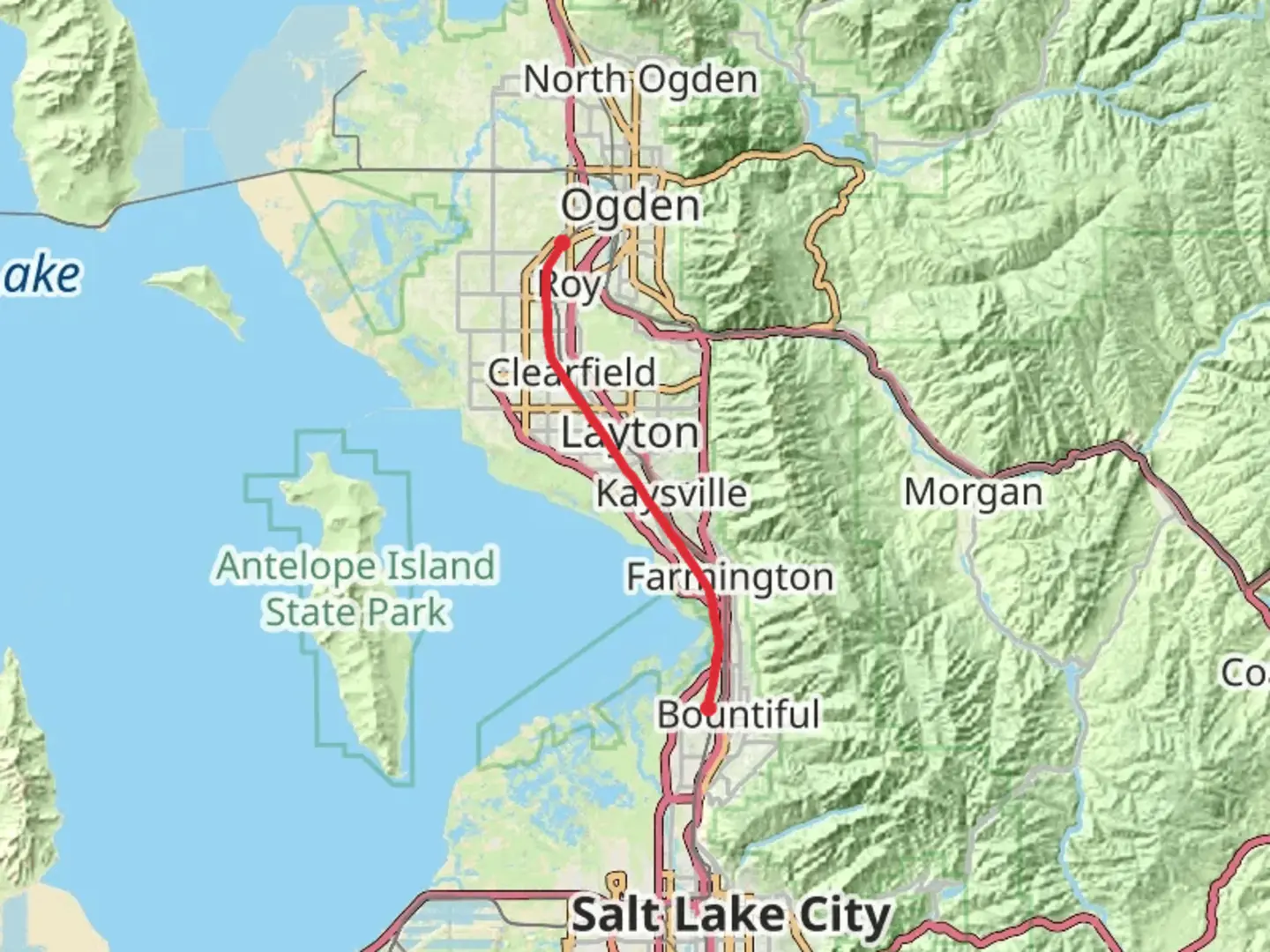
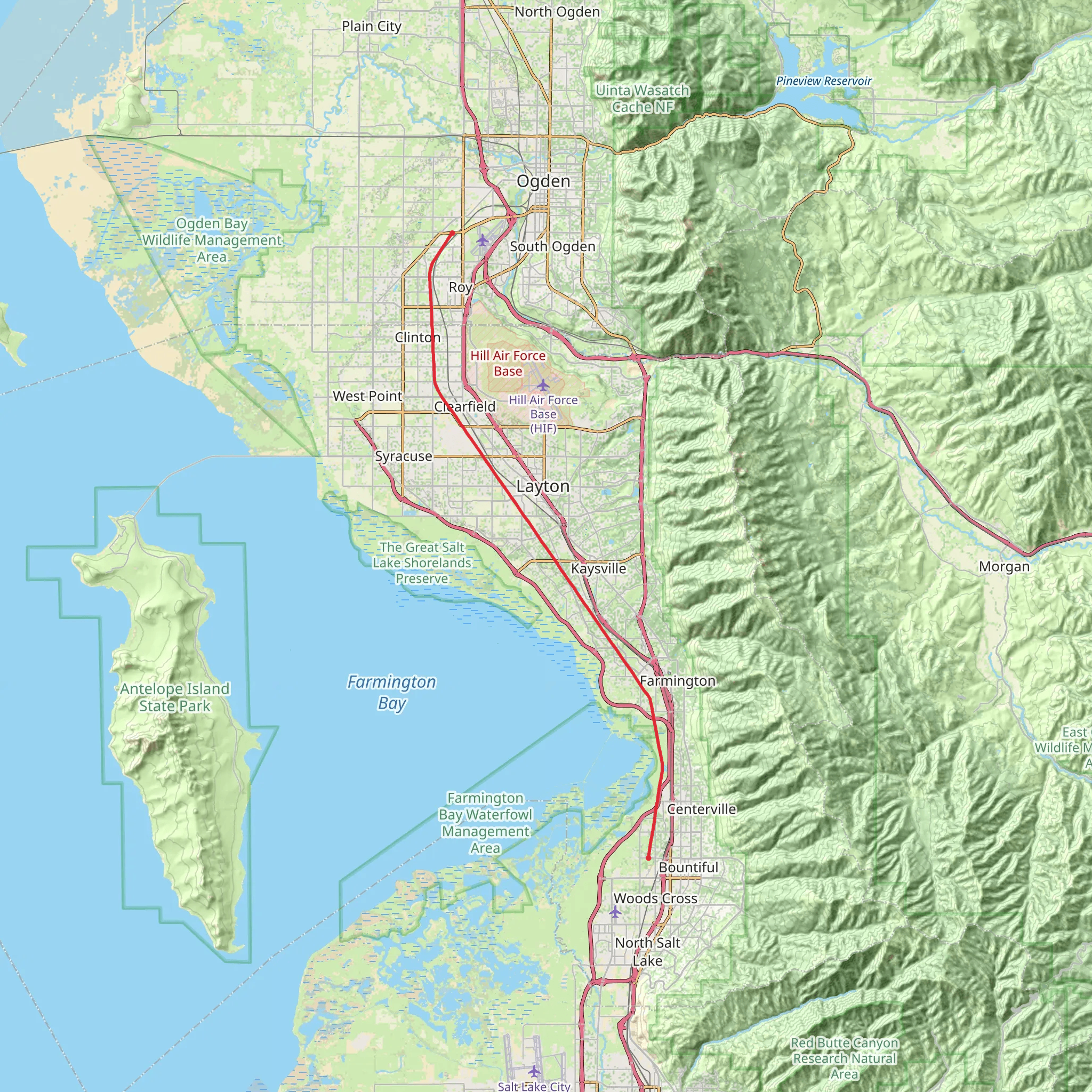
Starting near Davis County, Utah, the D and RGW Rail Long Trail stretches approximately 38 kilometers (about 24 miles) and is a point-to-point trail with an estimated medium difficulty rating. This trail is unique in that it has virtually no elevation gain, making it accessible for a wide range of hikers.### Getting There To reach the trailhead, you can drive or use public transportation. If you're driving, head towards the vicinity of Davis County, Utah. The nearest significant landmark is the Layton Hills Mall, which is a good reference point for navigation. For those using public transport, the Utah Transit Authority (UTA) offers bus services that can get you close to the trailhead. Check the UTA website for the most current routes and schedules.### Trail Overview The trail follows the old Denver and Rio Grande Western Railroad line, offering a flat and straightforward path. This makes it ideal for those who prefer a less strenuous hike or are looking to cover a longer distance without significant elevation changes. The trail is well-marked, but it's always a good idea to have a navigation tool like HiiKER to ensure you stay on track.### Historical Significance The Denver and Rio Grande Western Railroad has a rich history dating back to the late 19th century. Originally built to serve the mining industry, the railroad played a crucial role in the development of the Western United States. As you hike, you'll pass by remnants of this historical railway, including old tracks and possibly even some abandoned rail cars. These landmarks offer a glimpse into the past and add a layer of historical intrigue to your hike.### Nature and Wildlife The trail meanders through a variety of landscapes, including open fields, wooded areas, and sections that run parallel to streams and small rivers. Keep an eye out for local wildlife such as deer, rabbits, and a variety of bird species. The flat terrain and open spaces make it easier to spot these animals, especially in the early morning or late afternoon.### Points of Interest - Layton Hills Mall (Start Point): A convenient landmark for starting your hike. - Kays Creek Parkway: Around 10 kilometers (6 miles) into the hike, you'll come across this beautiful parkway, which offers a scenic spot for a break. - Farmington Bay Waterfowl Management Area: Approximately 20 kilometers (12 miles) in, this area is a haven for bird watchers. You might spot pelicans, herons, and various waterfowl. - Antelope Island State Park (End Point): The trail concludes near this stunning state park, known for its bison herds and panoramic views of the Great Salt Lake.### Preparation Tips Given the trail's length, it's essential to bring enough water and snacks. The flat terrain might make it seem easier, but 38 kilometers (24 miles) is still a considerable distance. Wear comfortable hiking shoes and consider bringing a hat and sunscreen, as some sections of the trail offer little shade. Always check the weather forecast before heading out and let someone know your hiking plans.Using HiiKER can help you navigate the trail more efficiently, ensuring you don't miss any of the significant landmarks or points of interest along the way.
What to expect?
Activity types
Comments and Reviews
User comments, reviews and discussions about the D and RGW Rail Long Trail, Utah.
4.43
average rating out of 5
21 rating(s)
